
France · Terrestrial
Réserve biologique dirigée de l'île Sainte-Marguerite
Nature reserve of 153 hectares in France, established in 2006.
Overview
Nature reserve of 153 hectares in France, established in 2006.
Réserve biologique dirigée de l'île Sainte-Marguerite is a nature reserve in France (Europe). It is a predominantly terrestrial area. Established in 2006, it covers about 153 hectares.
Protections and designations
Natura 2000 · habitats (SAC)
- Baie et cap d'Antibes - îles de Lerins FR9301573
Protected as a nature reserve. International labels and designations: Natura 2000 network (1 site: “Baie et cap d'Antibes - îles de Lerins”). Key dates: established in 2006 and first Natura 2000 site under the Habitats Directive in 2014.
In our collections
Timeline
-
2006
Established
-
2014
First Natura 2000 site under the Habitats Directive
Sources: Wikidata (CC0) for establishment and international labels; EEA Natura 2000 database (CC-BY 4.0) for site designation dates.
Frequently asked questions
Where is Réserve biologique dirigée de l'île Sainte-Marguerite?
In France (Europe). Representative point: 43.5197° N, 7.0510° E.
How large is Réserve biologique dirigée de l'île Sainte-Marguerite?
About 153 hectares (2 km²). It is the 77th largest of the 121 nature reserves in France covered by Parkavela.
When was Réserve biologique dirigée de l'île Sainte-Marguerite established?
In 2006.
What habitats and landscapes does Réserve biologique dirigée de l'île Sainte-Marguerite include?
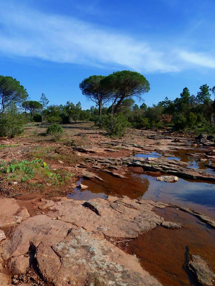
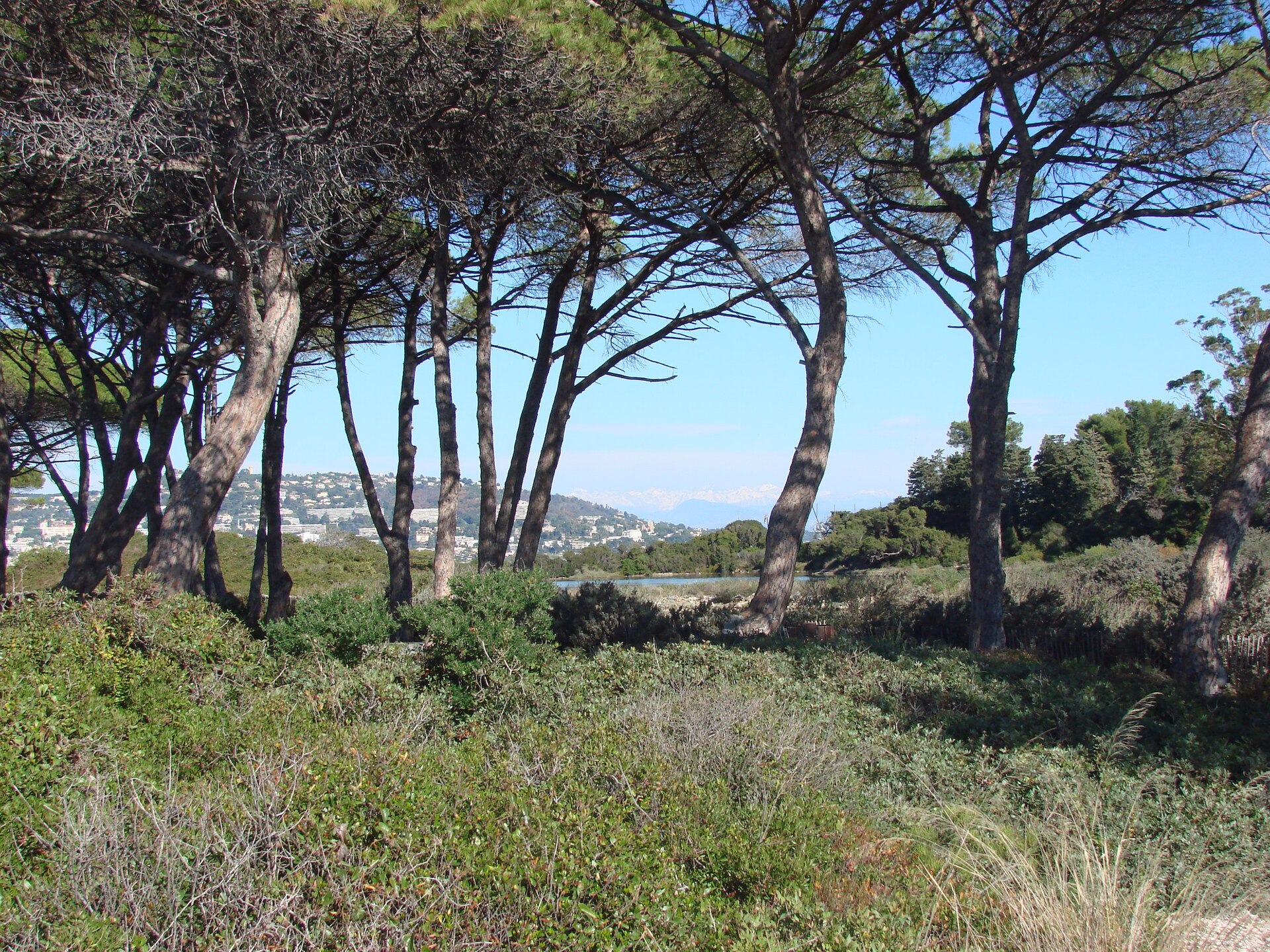
A terrestrial area, with forests.
What rocks lie beneath Réserve biologique dirigée de l'île Sainte-Marguerite?
According to the BRGM's simplified lithological map, the bedrock consists mainly of limestones, marls and gypsum (100% of sampled points). These are mostly sedimentary rocks.
Which international labels apply to Réserve biologique dirigée de l'île Sainte-Marguerite?
Natura 2000 network (1 site: “Baie et cap d'Antibes - îles de Lerins”).
When is the best time to visit Réserve biologique dirigée de l'île Sainte-Marguerite?
Best time to visit: from April to September, with average temperatures of 13 to 25 °C and moderate rainfall.
What is there to see in Réserve biologique dirigée de l'île Sainte-Marguerite?
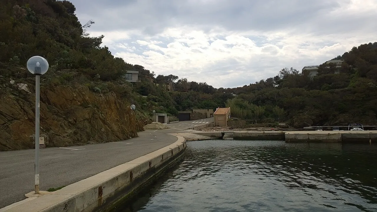
3 viewpoints and 1 lake or pond, including Petite crique sympa and Étang du Batéguier (OpenStreetMap).
Are there historic monuments in Réserve biologique dirigée de l'île Sainte-Marguerite?
Yes. According to the French Ministry of Culture's Mérimée database, one historic monument (inscrit) stands within the boundary. For example: “Batterie de la Convention” in Cannes.
Can you swim in Réserve biologique dirigée de l'île Sainte-Marguerite?
2 monitored bathing sites lie in or within 1 km of the site; official 2025 classification: 2 excellent (European Environment Agency). Swimming is only permitted at the sites and times authorised locally.
What is the nearest large city to Réserve biologique dirigée de l'île Sainte-Marguerite?
Nearest towns of over 50,000 people, as the crow flies: Cannes (3 km) and Antibes (8 km). Nearest airport: Nice Côte d'Azur (NCE), about 20 km away.
How can I reach Réserve biologique dirigée de l'île Sainte-Marguerite by train?
The nearest railway station is Cannes, about 4 km from the site boundary.
Are there waymarked hiking trails in Réserve biologique dirigée de l'île Sainte-Marguerite?
Yes. Waymarked hiking routes listed in OpenStreetMap: 1.
Which species can be seen in Réserve biologique dirigée de l'île Sainte-Marguerite?
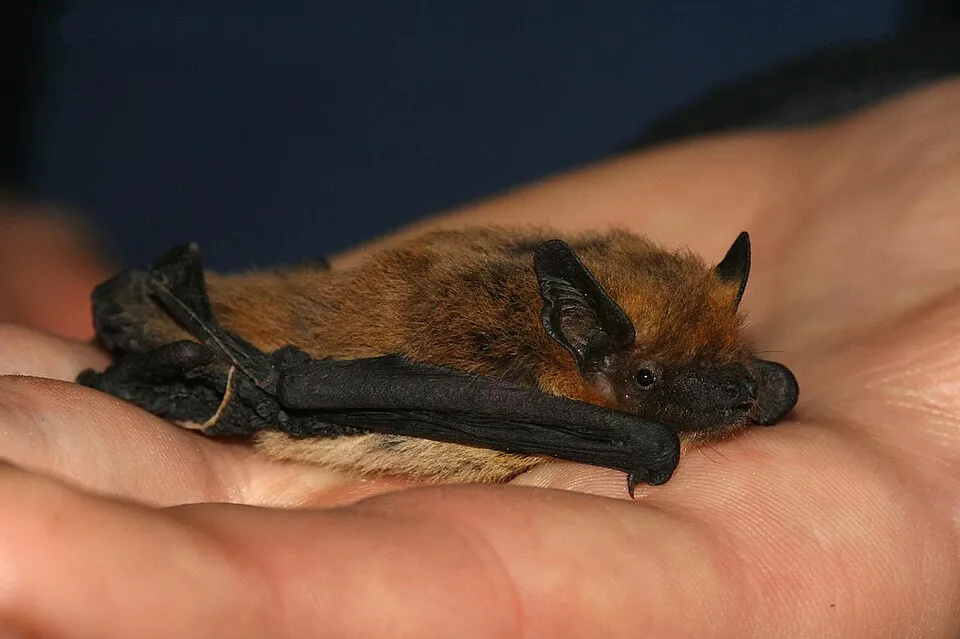
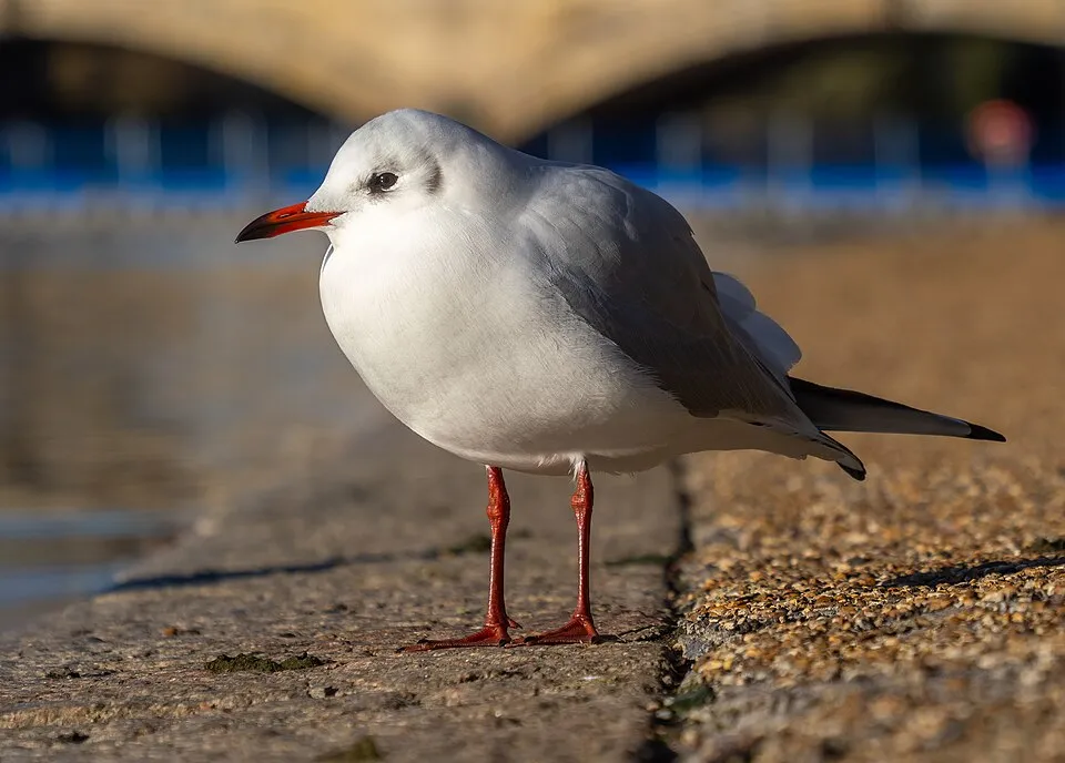
Among the species most often recorded on GBIF are Larus michahellis (Yellow-legged Gull), Pipistrellus kuhlii (Kuhl's pipistrelle), Chroicocephalus ridibundus (Black-headed Gull) and Phalacrocorax carbo (Great Cormorant).
© OpenStreetMap
Download the boundary: GeoJSON · GPX Boundary © OpenStreetMap contributors (ODbL).
Geography
The representative point of the site lies at around 23 m above sea level. Over the 1996–2025 period, the mean annual temperature is about 15.4 °C and total precipitation reaches roughly 877 mm per year. The warmest month is usually August, the coolest January, and the wettest November. According to the BRGM's simplified lithological map, the bedrock consists mainly of limestones, marls and gypsum (100% of sampled points). These are mostly sedimentary rocks.
Area
- Area
- 153 ha
- Elevation
- 23 m
- Coordinates
- 43.5197, 7.051
Bedrock
- Limestones, marls and gypsum 100 %
Sedimentary rocks 100 %
Source: BRGM, simplified lithological map at 1:1,000,000 (Licence Ouverte), 15 points sampled within the boundary.
Climate
● Mean temperature (°C) · ▮ Precipitation (mm)
Source: Copernicus ERA5-Land (C3S, doi:10.24381/cds.68d2bb30), monthly averages 1996–2025 interpolated to the representative point, temperatures adjusted for elevation.
Contains modified Copernicus Climate Change Service information 2026. Neither the European Commission nor ECMWF is responsible for any use that may be made of the Copernicus information or data it contains.
Natural habitats
According to CORINE Land Cover (2018), the site is mainly made up of forests (99%). Woodland mixes broadleaved and coniferous trees. The Natura 2000 site overlapping the area lists 17 habitats of European interest (3 priority), the most extensive being Posidonia beds (Posidonion oceanicae), sandbanks which are slightly covered by sea water all the time and reefs.
Biodiversity
Based on occurrences aggregated by GBIF, several species are regularly recorded within the site. Among the most frequent are Larus michahellis (Yellow-legged Gull), Pipistrellus kuhlii (Kuhl's pipistrelle), Chroicocephalus ridibundus (Black-headed Gull) and Phalacrocorax carbo (Great Cormorant). The full list of documented taxa is shown below. The overlapping Natura 2000 site lists 7 species of European interest: 2 mammals, 2 reptiles and 3 invertebrates.
Habitats of European interest
From the official form of the Natura 2000 site overlapping the area (areas reported for the whole site).
- Posidonia beds (Posidonion oceanicae) priority 1,793 ha
- Sandbanks which are slightly covered by sea water all the time 221 ha
- Reefs 154 ha
- Quercus ilex and Quercus rotundifolia forests 33 ha
- Mediterranean pine forests with endemic Mesogean pines 28 ha
- Vegetated sea cliffs of the Mediterranean coasts with endemic Limonium spp. 18 ha
- Olea and Ceratonia forests 10 ha
- Coastal lagoons priority 4 ha
and 9 more
Species of European interest
Mammals · 2
Common bent-wing bat (Miniopterus schreibersii), Common bottlenose dolphin (Tursiops truncatus)
Invertebrates · 3
Greater Capricorn Beetle (Cerambyx cerdo), Jersey Tiger (Euplagia quadripunctaria), Stag beetle (Lucanus cervus)
Source: Natura 2000 standard data forms (EEA, CC-BY 4.0). Not exhaustive: sensitive species are not published.
Species to look out for
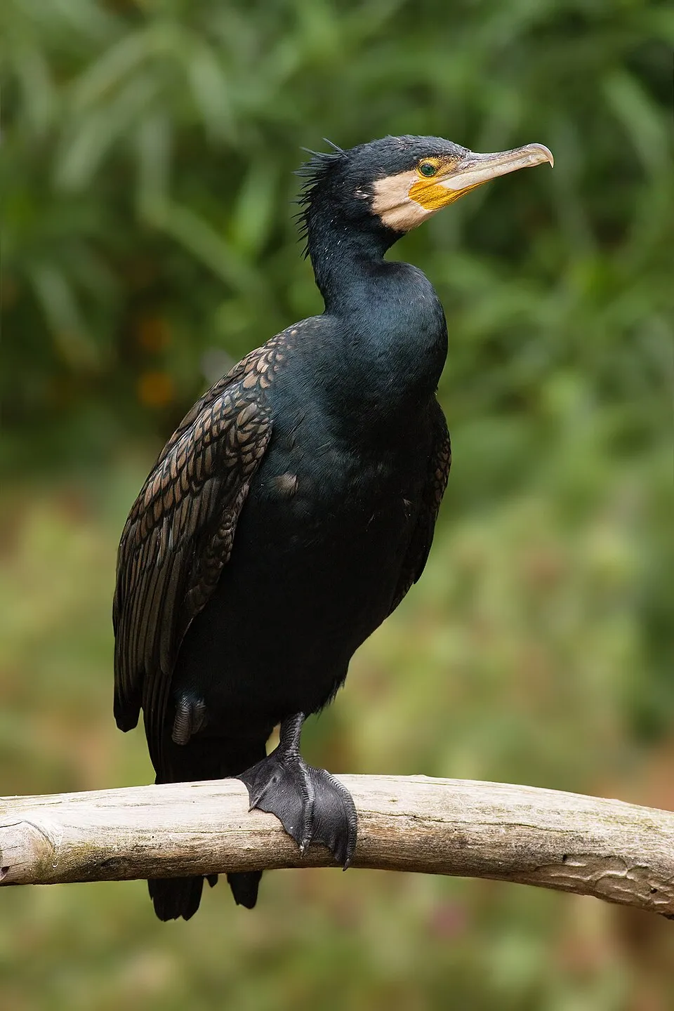
Bird
Great Cormorant
Phalacrocorax carbo187 records © JJ Harrison (https://www.jjharrison.com.au/) · CC BY-SA 3.0
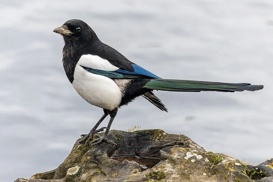
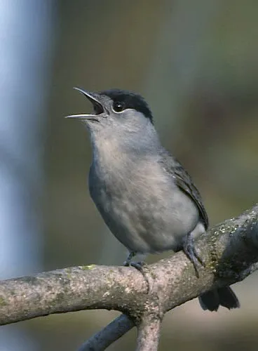
Observed species
Occurrences documented via GBIF; they are neither an exhaustive inventory nor proof of current presence.
- Yellow-legged Gull · Larus michahellis · 369
- Kuhl's pipistrelle · Pipistrellus kuhlii · 229
- Black-headed Gull · Chroicocephalus ridibundus · 194
- Great Cormorant · Phalacrocorax carbo · 187
- Eurasian Magpie · Pica pica · 170
- Eurasian Blackcap · Sylvia atricapilla · 160
- Carrion crow · Corvus corone · 153
- Common wall lizard · Podarcis muralis · 144
- Mallard · Anas platyrhynchos · 143
- Rock Dove · Columba livia · 140
- Common Tern · Sterna hirundo · 139
- European robin · Erithacus rubecula · 132
+18 more species
- Grey Heron · Ardea cinerea · 126
- Moorish gecko · Tarentola mauritanica · 124
- Sandwich Tern · Thalasseus sandvicensis · 124
- Common Sandpiper · Actitis hypoleucos · 121
- Common Blackbird · Turdus merula · 120
- Sardinian Warbler · Curruca melanocephala · 97
- Eurasian Chaffinch · Fringilla coelebs · 95
- Great tit · Parus major · 95
- Little Grebe · Tachybaptus ruficollis · 93
- Common Pheasant · Phasianus colchicus · 93
- Mastic Tree · Pistacia lentiscus · 90
- Common Chiffchaff · Phylloscopus collybita · 87
- Common Kingfisher · Alcedo atthis · 78
- Common Moorhen · Gallinula chloropus · 77
- Common Firecrest · Regulus ignicapilla · 77
- Sardinian warbler · Sylvia melanocephala · 75
- Common Wood Pigeon · Columba palumbus · 75
- Little Egret · Egretta garzetta · 70
Records: GBIF.org (CC-BY). Names: Wikidata (CC0), GBIF. Photos: Wikimedia Commons.
Conservation challenges
The primary purpose of the site is to preserve its natural habitats and the biodiversity they support. The species recorded (Biodiversity tab) reflect its ecological value. The designations it holds frame its management and the control of land use.
At night, 80% of the area gives off artificial light detectable from space (NASA VIIRS Black Marble composite, 2016). According to the Natura 2000 forms, of 17 assessed habitats of European interest, 2 are in excellent condition and 2 in average or reduced condition. According to the Water Framework Directive assessment (2022 river basin management plans, data 2012–2017), water bodies assessed within the site: coastal waters, 0 of 1 in good ecological status or better. Since 2000, 6 invasive alien species have been recorded within the site (GBIF observations), 3 of them listed as of Union concern under EU Regulation 1143/2014. Among them: Alopochen aegyptiaca (Egyptian Goose), Vespa velutina (Asian hornet) and Delairea odorata (Cape-ivy).
Pressure indicators
Tree cover lost
5 ha
2001–2023 · 3% of the area
20012023
Fires since 2016
0
No large fire mapped (fires over about 30 ha)
Light at night
80%
of the area gives off artificial light visible from space
DarkLit
Rivers and lakes
Coastal waters: 0 of 1 good or better
assessments 2012–2017
Invasive alien species
6
incl. 3 of EU concern · since 2000
 Egyptian GooseEU
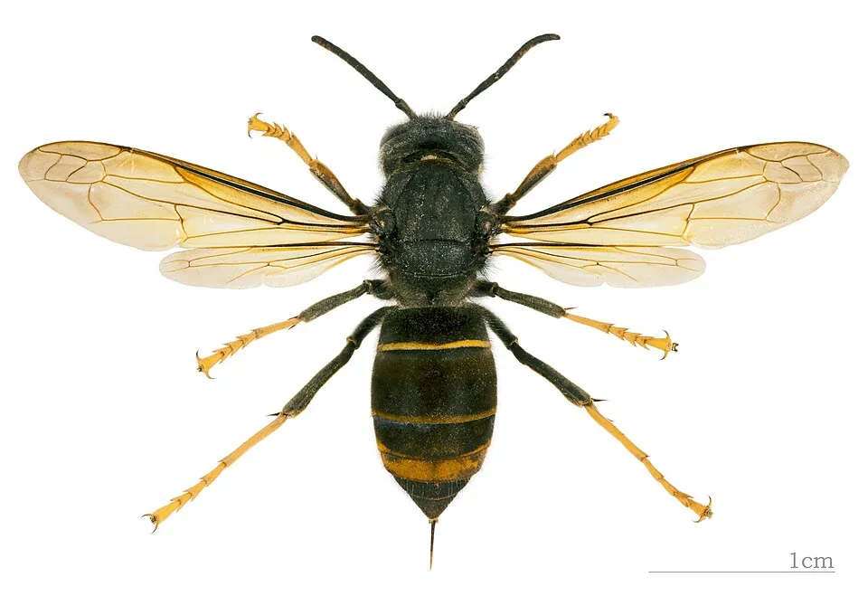 Asian hornetEU
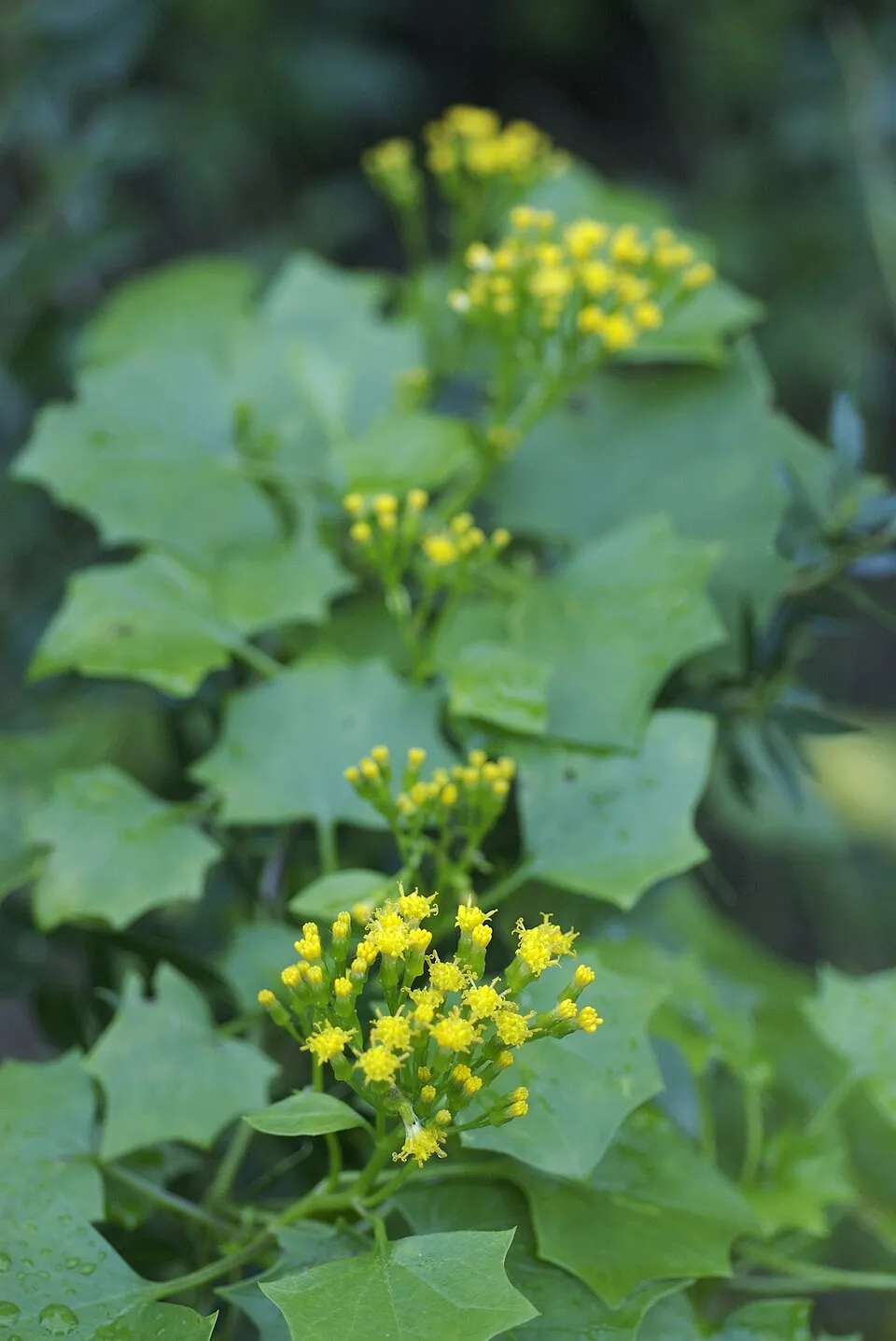 Cape-ivyEU
Xyleborus germanus
 Bermuda buttercup
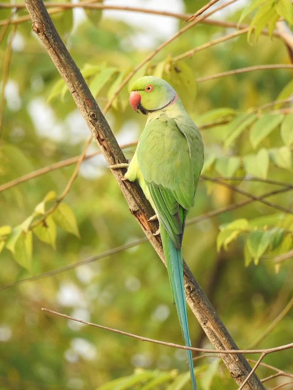 Rose-ringed Parakeet
Photos: Egyptian Goose © Rhododendrites · CC BY-SA 4.0; Asian hornet © Didier Descouens · CC BY-SA 4.0; Cape-ivy © Eric in SF · CC BY-SA 3.0; Bermuda buttercup © MathKnight and Zachi Evenor אביר המתמטיקה וצחי אבנור · CC BY-SA 4.0; Rose-ringed Parakeet © Afsarnayakkan · CC BY 3.0
Sources: Global Forest Change (Hansen et al., University of Maryland, via Global Forest Watch, CC-BY 4.0); EFFIS, European Commission / Copernicus; NASA Black Marble 2016 (public domain); CORINE Land Cover 2018 (Copernicus) or MODIS.
Ecological status of water bodies: European Environment Agency, WISE – Water Framework Directive, 3rd river basin management plans (2022), CC BY 4.0. Official national classification, not comparable between countries.
Invasive alien species: Global Register of Introduced and Invasive Species (ISSG, CC BY 4.0); Union list, Regulation (EU) 1143/2014 (INBO, CC0); GBIF.org records (CC0 / CC BY 4.0), at least 2 per species.
Practical information
Cities and airport
- Cannes
3 km as the crow flies - Antibes
8 km as the crow flies - Airport: Nice Côte d'Azur (NCE)
20 km as the crow flies
Things to see
3 viewpoints · 1 lake or pond
- Petite crique sympa
viewpoint - Étang du Batéguier
lake or pond
Hiking
1 waymarked routes listed
Data © OpenStreetMap contributors (ODbL) · Wikidata (CC0)
Waymarked hiking routes
Tracks © OpenStreetMap contributors (ODbL), clipped to the boundary; elevation gain and profiles computed on the longest section from Mapzen Terrain Tiles (≈ 30 m), indicative only.
Bathing
2 monitored bathing sites in or within 1 km of the site · 2025 classification
Excellent · 2
- Ile Ste Marguerite Est · sea · Excellent
- Ile Ste Marguerite Ouest · sea · Excellent
Source: European Environment Agency, official bathing water classification (Directive 2006/7/EC, CC-BY 4.0). Swimming is only permitted at the sites and times authorised locally.
Access and visiting
The nearest railway station is Cannes, about 4 km from the site boundary. Nearest towns of over 50,000 people, as the crow flies: Cannes (3 km) and Antibes (8 km). Nearest airport: Nice Côte d'Azur (NCE), about 20 km away. About 510,000 people live within 20 km of the site boundary, 250,000 of them within 10 km (GHSL estimate, 2020). This population has grown by about 11% since 2000. Waymarked hiking routes listed in OpenStreetMap: 1. To see: 3 viewpoints and 1 lake or pond, including Petite crique sympa and Étang du Batéguier. To plan a visit (access, opening periods, visitor rules), it is best to consult the official information from the managing body and the official website listed in this page's sources.
Source: OpenStreetMap (ODbL), Wikidata (CC0), October 2026.
Built heritage
According to the French Ministry of Culture's Mérimée database, one historic monument (inscrit) stands within the boundary. It is “Batterie de la Convention” in Cannes.
-
Batterie de la Convention
Cannes · 19th c.
Source: Mérimée database, French Ministry of Culture (Licence Ouverte 2.0). Each record links to the Plateforme ouverte du patrimoine (POP).
When to visit
Best time to visit: from April to September, with average temperatures of 13 to 25 °C and moderate rainfall. Precipitation peaks in October and November (up to 140 mm per month). Day length ranges from about 8 h 58 min in December to 15 h 24 min in June. Wildlife records published on GBIF peak for birds (January and February), plants (May), butterflies and moths (July) and mammals (June). These peaks also reflect when observers are most active.
Source: Copernicus ERA5-Land (C3S), monthly averages 1996–2025 at the representative point, temperatures adjusted for elevation.
Contains modified Copernicus Climate Change Service information 2026. Neither the European Commission nor ECMWF is responsible for any use that may be made of the Copernicus information or data it contains.
Wildlife records calendar
JFMAMJJASOND
Birds
Plants
Butterflies & moths
Mammals
Monthly records published on GBIF (CC-BY), relative to the busiest month; also reflects observer activity.
Gallery
© Alistair Cunningham · CC BY 3.0
© Tangopaso · Public domain
© Abxbay · CC BY-SA 3.0
© Rüdiger Stehn from Kiel, Deutschland · CC BY-SA 2.0
© Jarek Prokop · CC BY 3.0
© Alexkom000 · CC BY 4.0
Sources and licences
- Wikidata: Q65953705
- OpenStreetMap: relation 1178061
- WDPA: 345946
References
- cds.climate.copernicus.eu: climate · CC-BY-4.0
- registry.opendata.aws: elevation of the reference point, detailed relief · PD
- land.copernicus.eu: land cover, land cover change, sea share · COPERNICUS
- doi.org: population around the site · CC-BY-4.0
- wikidata.org: official area, establishment date, nearby cities and airport, access and peaks, lake depths, places to see · CC0-1.0
- eea.europa.eu: bathing water quality, ecological status of waters · CC-BY-4.0
- en.eurovelo.com: EuroVelo cycle routes · ODbL-1.0
- cycling.waymarkedtrails.org: cycle routes · ODbL-1.0
- opentopodata.org: elevations · PD
- forest-fire.emergency.copernicus.eu: wildfires · COPERNICUS
- globalforestwatch.org: tree cover loss · CC-BY-4.0
- gbif.org: seasonality of sightings, invasive alien species, observed species · CC-BY-4.0
- infoterre.brgm.fr: geology · LO-2.0
- pop.culture.gouv.fr: protected heritage · LO-2.0
- hydrosheds.org: lakes · CC-BY-4.0
- natura2000.eea.europa.eu: Natura 2000 habitats and species · CC-BY-4.0
- openstreetmap.org: official name, access and peaks, places to see · ODbL-1.0
- earthobservatory.nasa.gov: night light · PD
- hiking.waymarkedtrails.org: route difficulty · ODbL-1.0
Data © OpenStreetMap contributors (ODbL), Wikidata (CC0) and the sources cited.