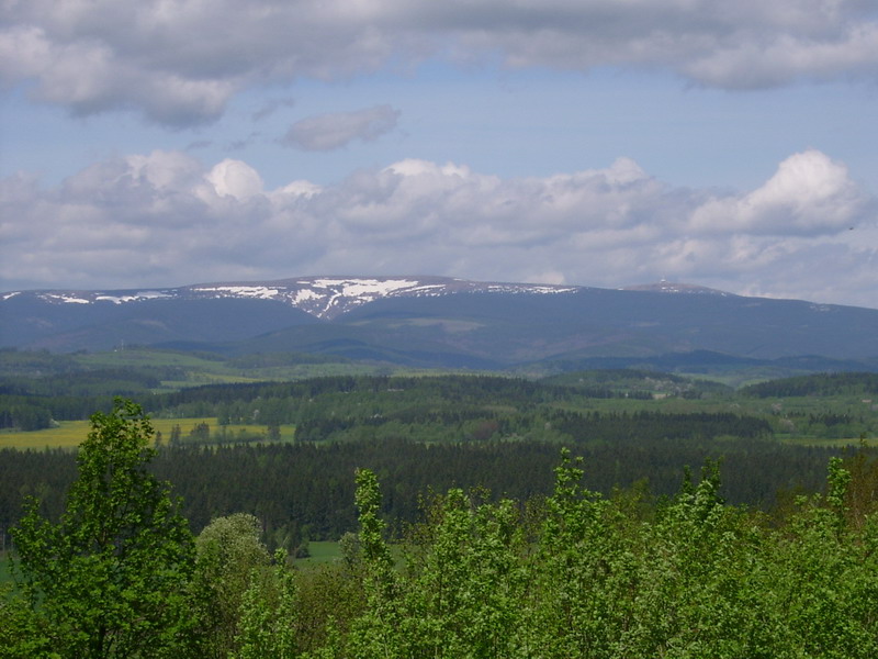

Czechia · Terrestrial
Jeseníky Protected Landscape Area
Protected landscape area of 74,367 hectares in Czechia, established in 1969.
Overview
Protected landscape area of 74,367 hectares in Czechia, established in 1969.
Jeseníky Protected Landscape Area is located in Czechia (Europe). It is a predominantly terrestrial area. Established on 25 July 1969, it covers about 74,367 hectares.
Protections and designations
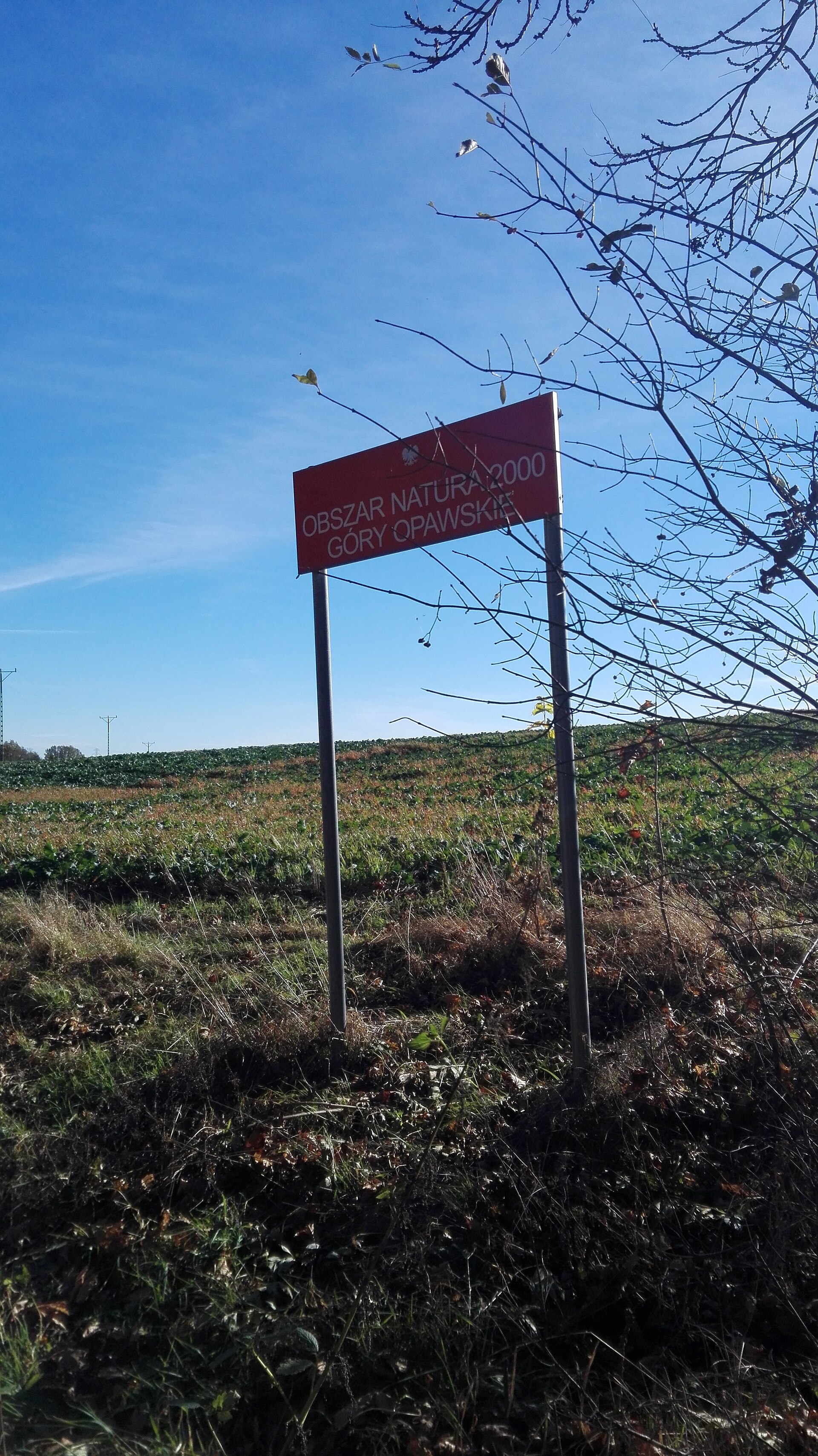
Natura 2000 · habitats (SAC) · 15 sites
- Branná - hrad CZ0713722
- Heřmanovice CZ0813445
- Javorový vrch CZ0813763
- Karlova Studánka CZ0813450
- Keprník CZ0714075
- Moravice CZ0813456
- and 9 more
Natura 2000 · birds (SPA)
- Jeseníky CZ0711017
Designated as a protected landscape area. International labels and designations: Natura 2000 network (16 sites). Key dates: established in 1969, first Natura 2000 site under the Birds Directive in 2004 and first Natura 2000 site under the Habitats Directive in 2008.
In our collections
Timeline
-
1969
Established
-
2004
First Natura 2000 site under the Birds Directive
-
2008
First Natura 2000 site under the Habitats Directive 15 such sites designated up to 2012
Sources: Wikidata (CC0) for establishment and international labels; EEA Natura 2000 database (CC-BY 4.0) for site designation dates.
Frequently asked questions
Where is Jeseníky Protected Landscape Area?
In Czechia (Europe). Representative point: 50.0436° N, 17.2103° E.
How large is Jeseníky Protected Landscape Area?
About 74,367 hectares (744 km²). It is the 5th largest of the 27 protected landscape areas in Czechia covered by Parkavela.
When was Jeseníky Protected Landscape Area established?
On 25 July 1969.
What habitats and landscapes does Jeseníky Protected Landscape Area include?
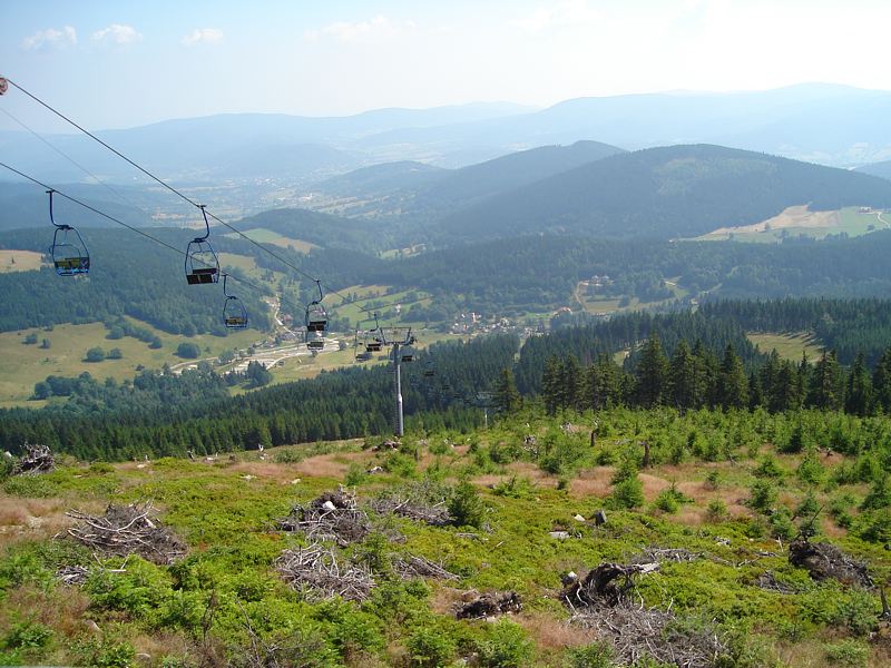
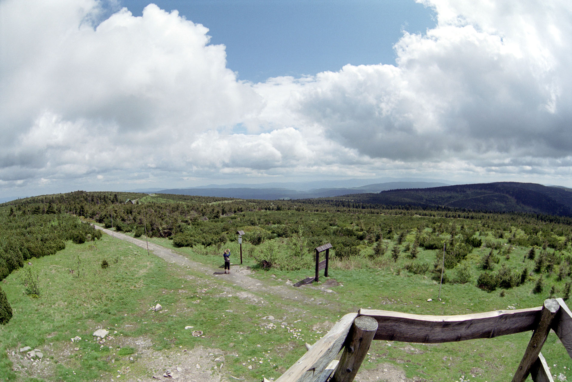
A terrestrial area, with forests and mountains.
What rocks lie beneath Jeseníky Protected Landscape Area?
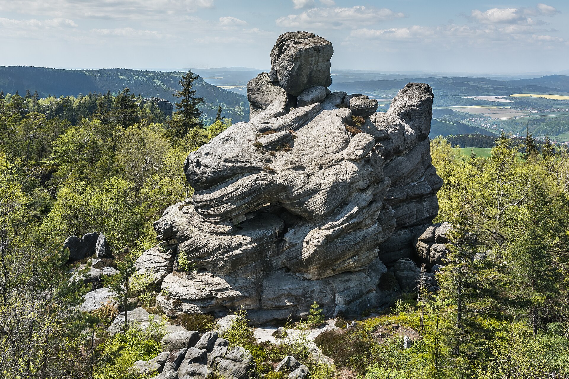
According to the European 1:1 million geological map (EGDI), the bedrock consists mainly of gneiss (36% of sampled points), amphibolites (29%) and conglomerates and breccias (29%). These are mostly metamorphic rocks. The geological units date mainly from the Paleozoic (71% of sampled points).
What is the highest point of Jeseníky Protected Landscape Area?
Praděd, at 1,491 m (OpenStreetMap).
What are the main summits of Jeseníky Protected Landscape Area?
Praděd (1,491 m), Vysoká hole (1,465 m), Petrovy kameny (1,447 m), Keprník (1,423 m) and Kamzičník (1,420 m) (OpenStreetMap).
Which international labels apply to Jeseníky Protected Landscape Area?
Natura 2000 network (16 sites).
When is the best time to visit Jeseníky Protected Landscape Area?
Mildest period: from June to August, with average temperatures of 11 to 13 °C.
Is there snow in Jeseníky Protected Landscape Area?
Yes. According to NASA's MODIS satellites (2015–2025 average), snow covers most of the site from December to February, and until March on higher ground, with about 105 snow-covered days a year on average.
What is there to see in Jeseníky Protected Landscape Area?
35 waterfalls and 2 lakes and ponds, including Vysoký vodopád, Velké mechové jezírko (769 m), Borový vodopád and Malé mechové jezírko (745 m) (Wikidata).
Where can I stay in Jeseníky Protected Landscape Area?
3 mountain huts, including Chata Jiřího na Šeráku (1,323 m), Barborka (1,321 m) and Švýcárna (1,304 m) (Wikidata).
Are there historic monuments in Jeseníky Protected Landscape Area?
Yes. According to Wikidata, 161 monuments listed in the Czech central register of cultural monuments stand within the boundary. For example: “Cemetery in Vrbno pod Pradědem” in Vrbno pod Pradědem, “Janovice Castle” in Janovice and “Hotel Praděd” in Jeseník.
Can you swim in Jeseníky Protected Landscape Area?
One monitored bathing site lies in or within 1 km of the site; official 2025 classification: 1 sufficient (European Environment Agency). Swimming is only permitted at the sites and times authorised locally.
What is the nearest large city to Jeseníky Protected Landscape Area?
Nearest towns of over 50,000 people, as the crow flies: Olomouc (36 km) and Opava (38 km). Nearest airport: Leoš Janáček Airport Ostrava (OSR), about 64 km away.
How can I reach Jeseníky Protected Landscape Area by train?
Loučná nad Desnou-Filipová railway station lies within the site.
Where can I get visitor information on site?
PVE Dlouhé Stráně, Infocentrum Bělá pod Pradědem and Infocentrum a Muzeum TZ.
Are there waymarked hiking trails in Jeseníky Protected Landscape Area?
Yes. Waymarked hiking routes listed in OpenStreetMap: 81, including E 3, Internationaler Bergwanderweg Eisenach, [M] Moravičany and [Z] Bedřichov.
Which species can be seen in Jeseníky Protected Landscape Area?
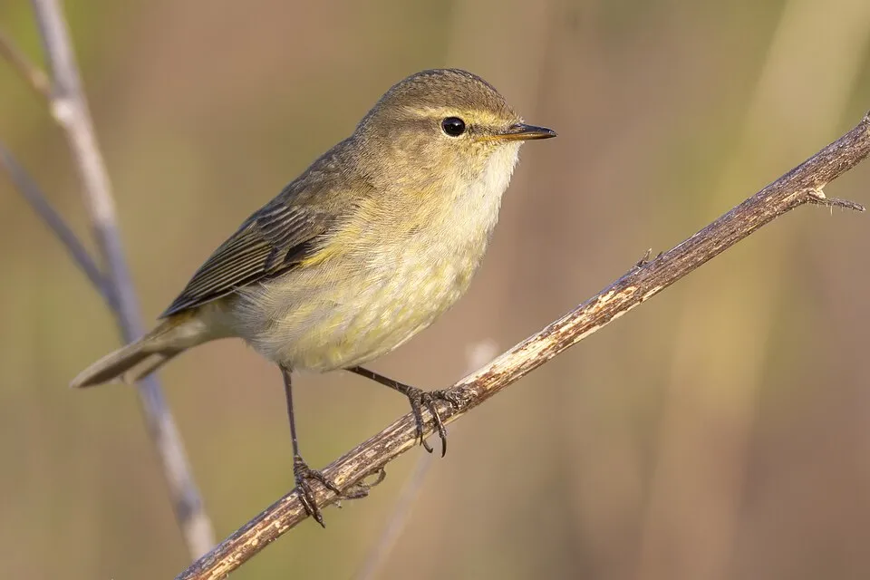
Among the species most often recorded on GBIF are Erithacus rubecula (European robin), Fringilla coelebs (Eurasian Chaffinch), Periparus ater (Coal tit) and Phylloscopus collybita (Common Chiffchaff).
What is the official website of Jeseníky Protected Landscape Area?
© OpenStreetMap
Download the boundary: GeoJSON · GPX Boundary © OpenStreetMap contributors (ODbL).
Geography
The representative point of the site lies at around 1,356 m above sea level. Over the 1996–2025 period, the mean annual temperature is about 3.0 °C and total precipitation reaches roughly 933 mm per year. The warmest month is usually July, the coolest January, and the wettest July. According to the European 1:1 million geological map (EGDI), the bedrock consists mainly of gneiss (36% of sampled points), amphibolites (29%) and conglomerates and breccias (29%). These are mostly metamorphic rocks. The geological units date mainly from the Paleozoic (71% of sampled points).
Area
- Area
- 74,367 ha
- Elevation
- 1,356 m
- Median elevation
- 792 m
- Mean slope
- 11°
- Snow cover
- ≈ 105 days a year
- Coordinates
- 50.0436, 17.2103
Terrain: Mapzen Terrain Tiles (SRTM, USGS)
Elevation bands
- below 500 m 6%
- 500–1,000 m 74%
- 1,000–1,500 m 20%
share of the site in each elevation band (smoothed terrain model: summits are rounded off) · Terrain: Mapzen Terrain Tiles (SRTM, USGS)
Bedrock
- Gneiss 36 %
- Amphibolites 29 %
- Conglomerates and breccias 29 %
- Rhyolites 7 %
Metamorphic rocks 64 % · Sedimentary rocks 29 % · Igneous rocks 7 % · Main age: Paleozoic (71%)
Source: EGDI 1:1M geological map (EuroGeoSurveys and national geological surveys), CC BY 4.0 · 14 sampled points within the site.
Main summits
- Praděd1,491 m
- Vysoká hole1,465 m
- Petrovy kameny1,447 m
- Keprník1,423 m
- Kamzičník1,420 m
- Velký Děd1,408 m
- Velký Máj1,385 m
- Vozka1,377 m
- Malý Děd1,369 m
- Jelení hřbet1,367 m
Data © OpenStreetMap contributors (ODbL)
Climate
● Mean temperature (°C) · ▮ Precipitation (mm)
Source: Copernicus ERA5-Land (C3S, doi:10.24381/cds.68d2bb30), monthly averages 1996–2025 interpolated to the representative point, temperatures adjusted for elevation.
Contains modified Copernicus Climate Change Service information 2026. Neither the European Commission nor ECMWF is responsible for any use that may be made of the Copernicus information or data it contains.
Snow cover measured by satellite
J
F
M
A
M
J
J
A
S
O
N
D
average share of the site under snow · snowiest parts · ≈ 105 days a year
Snow cover: MODIS/Terra MOD10CM v61 (Hall & Riggs, 2021, NASA NSIDC DAAC, doi:10.5067/MODIS/MOD10CM.061), imagery from NASA GIBS (ESDIS); 2015–2025 average, grid of about 5 km.
Natural habitats
According to CORINE Land Cover (2018), the site is mainly made up of forests (71%), grassland and meadows (9%) and farmland (9%). Woodland is mostly coniferous. Elevation ranges from about 390 m to 1,491 m (highest point: Praděd). Median elevation is 792 m, and 20% of the site lies above 1,000 m (SRTM elevation model). The 16 Natura 2000 sites overlapping the area list 16 habitats of European interest (5 priority), the most extensive being acidophilous Picea forests of the montane to alpine levels (Vaccinio-Piceetea), Luzulo-Fagetum beech forests and Asperulo-Fagetum beech forests.
Biodiversity
Based on occurrences aggregated by GBIF, several species are regularly recorded within the site. Among the most frequent are Erithacus rubecula (European robin), Fringilla coelebs (Eurasian Chaffinch), Periparus ater (Coal tit) and Phylloscopus collybita (Common Chiffchaff). The full list of documented taxa is shown below. The overlapping Natura 2000 sites list 16 species of European interest: 2 birds, 5 mammals, 2 amphibians, 2 fish, 1 invertebrate and 4 plants.
Habitats of European interest
From the official forms of the 16 Natura 2000 sites overlapping the area (areas reported for each whole site).
- Acidophilous Picea forests of the montane to alpine levels (Vaccinio-Piceetea) 5,530 ha
- Luzulo-Fagetum beech forests 754 ha
- Asperulo-Fagetum beech forests 334 ha
- Alpine and Boreal heaths 297 ha
- Hydrophilous tall herb fringe communities of plains and of the montane to alpine levels 284 ha
- Siliceous alpine and boreal grasslands 210 ha
- Bog woodland priority 178 ha
- Alluvial forests with Alnus glutinosa and Fraxinus excelsior (Alno-Padion, Alnion incanae, Salicion albae) priority 76 ha
and 8 more
Species of European interest
Birds · 2
Hazel Grouse (Bonasa bonasia) breeding, Corn Crake (Crex crex) breeding
Mammals · 5
Barbastelle (Barbastella barbastellus), Eurasian otter (Lutra lutra), Geoffroy's bat (Myotis emarginatus), Greater mouse-eared bat (Myotis myotis), Lesser horseshoe bat (Rhinolophus hipposideros)
Amphibians · 2
Great crested newt (Triturus cristatus), Montandon's newt (Triturus montandoni)
Invertebrates · 1
Carabus variolosus
Plants · 4
Buxbaumia moss (Buxbaumia viridis), Campanula gelida, Field Macewort (Mannia triandra), Poa riphaea
Source: Natura 2000 standard data forms (EEA, CC-BY 4.0). Not exhaustive: sensitive species are not published.
Species to look out for



Observed species
Occurrences documented via GBIF; they are neither an exhaustive inventory nor proof of current presence.
- European robin · Erithacus rubecula · 1637
- Eurasian Chaffinch · Fringilla coelebs · 1409
- Coal tit · Periparus ater · 1342
- Common Chiffchaff · Phylloscopus collybita · 1133
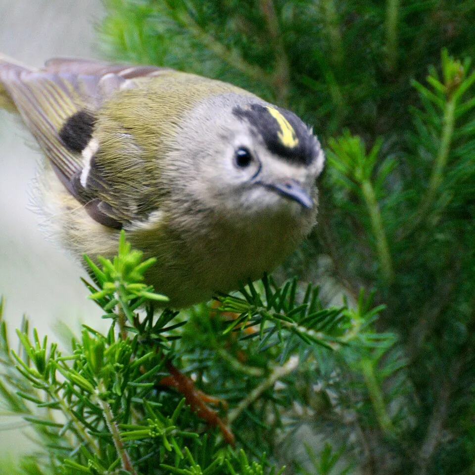
- Goldcrest · Regulus regulus · 1129
- Common Blackbird · Turdus merula · 1117
- Eurasian Wren · Troglodytes troglodytes · 1100
- Great tit · Parus major · 1063
- Song Thrush · Turdus philomelos · 1038
- Dunnock · Prunella modularis · 992
- Eurasian Siskin · Spinus spinus · 959
- Black Redstart · Phoenicurus ochruros · 945
+18 more species
- Calamagrostis villosa · 941
- Eurasian Blackcap · Sylvia atricapilla · 924
- Bilberry · Vaccinium myrtillus · 887
- Red Crossbill · Loxia curvirostra · 886
- Wavy hairgrass · Avenella flexuosa · 857
- Norway spruce · Picea abies · 854
- European Beech · Fagus sylvatica · 839
- Common Firecrest · Regulus ignicapilla · 785
- Eurasian blue tit · Cyanistes caeruleus · 764
- Northern Raven · Corvus corax · 735
- Common bistort · Bistorta officinalis · 670
- White Wagtail · Motacilla alba · 653
- Eurasian Bullfinch · Pyrrhula pyrrhula · 634
- Common Wood Pigeon · Columba palumbus · 625
- Tormentil · Potentilla erecta · 613
- Wood-sorrel · Oxalis acetosella · 613
- European Goldfinch · Carduelis carduelis · 610
- Common House Martin · Delichon urbicum · 578
Records: GBIF.org (CC-BY). Names: Wikidata (CC0), GBIF. Photos: Wikimedia Commons.
Conservation challenges
The primary purpose of the site is to preserve its natural habitats and the biodiversity they support. The species recorded (Biodiversity tab) reflect its ecological value. The designations it holds frame its management and the control of land use.
According to Global Forest Change data (University of Maryland, Global Forest Watch), about 7,120 ha of tree cover were lost within the boundary between 2001 and 2023 (10% of its area), peaking in 2019 and 2020. These losses include logging, storms and fires, and do not account for regrowth. Apart from forest felling and regrowth (about 13,630 ha in total), land cover remained almost unchanged between 1990 and 2018 according to CORINE Land Cover; only some 90 ha were built over. At night, the area gives off virtually no artificial light detectable from space (NASA VIIRS Black Marble composite, 2016). Built-up and developed land (buildings, business areas, roads, quarries) covers 2% of the area, and farmland 9% (CORINE Land Cover). According to the Natura 2000 forms, of 16 assessed habitats of European interest, 13 are in excellent condition and the rest in good condition. According to the Water Framework Directive assessment (2022 river basin management plans, data 2016–2018), only 32% of the 163 km of rivers assessed within the site are in good or high ecological status; the others mostly have moderate ecological status. Since 2000, 16 invasive alien species have been recorded within the site (GBIF observations), 4 of them listed as of Union concern under EU Regulation 1143/2014. Among them: Reynoutria japonica (Japanese Knotweed), Impatiens glandulifera (Himalayan Balsam) and Reynoutria sachalinensis (Giant Knotweed).
Pressure indicators
Tree cover lost
7,122 ha
2001–2023 · 10% of the area
20012023
Fires since 2016
0
No large fire mapped (fires over about 30 ha)
Light at night
< 1%
of the area gives off artificial light visible from space
DarkLit
Built-up land
2%
buildings, business areas, roads, quarries · farmland 9%
Land cover change
< 0.5%
of the area changed, 1990–2018 · CORINE
forest felling and regrowth: 13,630 ha in total
Rivers and lakes
32%
of the 163 km of assessed rivers in good or high ecological status · WFD 2022
assessments 2016–2018
Invasive alien species
16
incl. 4 of EU concern · since 2000
 Japanese KnotweedEU
 Himalayan BalsamEU
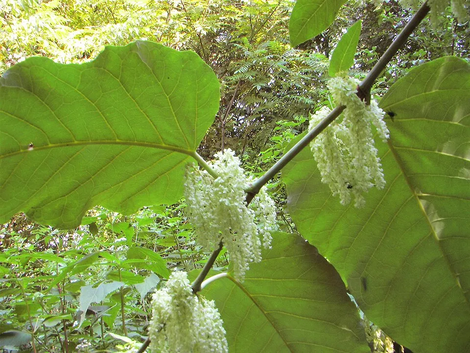 Giant KnotweedEU
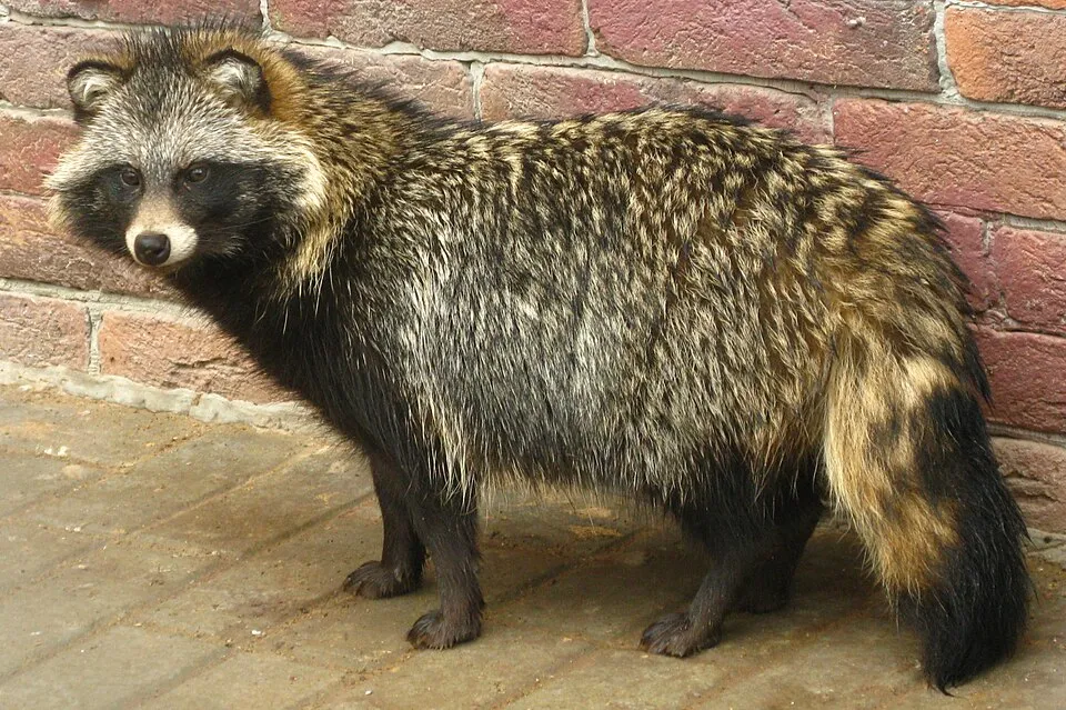 Raccoon DogEU
 Small balsam
 Japanese rose
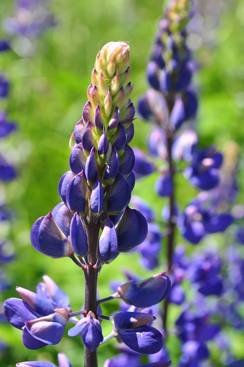 Large-leaved lupine
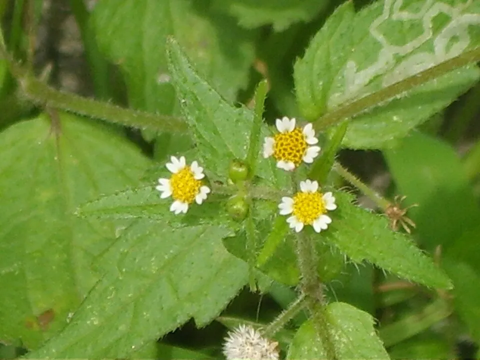 Shaggy soldier
Photos: Japanese Knotweed © W.carter · CC0-1.0; Himalayan Balsam © Guptaele · CC BY-SA 4.0; Giant Knotweed © Velocicaptor · Public domain; Raccoon Dog © Доктор рукиноги · CC BY-SA 3.0; Small balsam © André Karwath aka Aka · CC BY-SA 2.5; Japanese rose © Vihljun · Public domain; Large-leaved lupine © Joe Mabel (on Flickr as Joe Mabel from Seattle, US) · CC BY-SA 3.0; Shaggy soldier © Dalgial · CC BY-SA 3.0
Sources: Global Forest Change (Hansen et al., University of Maryland, via Global Forest Watch, CC-BY 4.0); EFFIS, European Commission / Copernicus; NASA Black Marble 2016 (public domain); CORINE Land Cover 2018 (Copernicus) or MODIS.
CORINE Land Cover Change 1990–2018: generated using European Union's Copernicus Land Monitoring Service information (EEA), aggregated by Parkavela; DOI 10.2909/f30f1000-7cf8-43bb-872c-5eb093911b24.
Ecological status of water bodies: European Environment Agency, WISE – Water Framework Directive, 3rd river basin management plans (2022), CC BY 4.0. Official national classification, not comparable between countries.
Invasive alien species: Global Register of Introduced and Invasive Species (ISSG, CC BY 4.0); Union list, Regulation (EU) 1143/2014 (INBO, CC0); GBIF.org records (CC0 / CC BY 4.0), at least 2 per species.
Practical information
Cities and airport
- Olomouc
36 km as the crow flies - Opava
38 km as the crow flies - Airport: Leoš Janáček Airport Ostrava (OSR)
64 km as the crow flies
Visitor information
- PVE Dlouhé Stráně
within the site - Infocentrum Bělá pod Pradědem
within the site - Infocentrum a Muzeum TZ
within the site - Ve vodopádech č. 9
within the site
Things to see
35 waterfalls · 2 lakes and ponds
- Vysoký vodopád
waterfall - Velké mechové jezírko
lake or pond · 769 m - Borový vodopád
waterfall - Malé mechové jezírko
lake or pond · 745 m - Páteční vodopád
waterfall
Where to stay
3 mountain huts
- Chata Jiřího na Šeráku
mountain hut · 1,323 m - Barborka
mountain hut · 1,321 m - Švýcárna
mountain hut · 1,304 m
Hiking
81 waymarked routes listed, including:
E 3Internationaler Bergwanderweg Eisenach[M] Moravičany[Z] Bedřichov[M] Rudoltice[Č] U Škaredé jedle
By bike
EV9 · 20 km 553 553 Rýmařov - Drakov · 29 km55 55 Slezská magistrála (Jeseník - Hlučín) · 24 km6155 Okruh Kouty n/D - Dlouhé Stráně - Loučná n/D · 36 km6029 Olomouc, sokolovna tř.17.list. - Vrbno p.P, prameniště Zl.Opava · 26 km
+ 3 local loops
Signed cycle routes: this does not mean that cycling is allowed on footpaths.
Data © OpenStreetMap contributors (ODbL) · Wikidata (CC0)
Contains information from EuroVelo GPX tracks downloaded from www.EuroVelo.com on 2026-10-22, which is made available here under the Open Database License (ODbL). EuroVelo® is a registered trademark of the ECF. Routes © OpenStreetMap contributors (ODbL), via Waymarked Trails
Bathing
1 monitored bathing site in or within 1 km of the site · 2025 classification
Sufficient · 1
- Rybník Edrovice · river · Sufficient
Source: European Environment Agency, official bathing water classification (Directive 2006/7/EC, CC-BY 4.0). Swimming is only permitted at the sites and times authorised locally.
Access and visiting
Loučná nad Desnou-Filipová railway station lies within the site. Nearest towns of over 50,000 people, as the crow flies: Olomouc (36 km) and Opava (38 km). Nearest airport: Leoš Janáček Airport Ostrava (OSR), about 64 km away. About 340,000 people live within 20 km of the site boundary, 140,000 of them within 10 km; some 21,000 people are estimated to live inside (GHSL estimate, 2020). This population has fallen by about 12% since 2000. Visitor information on site: PVE Dlouhé Stráně, Infocentrum Bělá pod Pradědem and Infocentrum a Muzeum TZ. Waymarked hiking routes listed in OpenStreetMap: 81, including E 3, Internationaler Bergwanderweg Eisenach, [M] Moravičany and [Z] Bedřichov. The EuroVelo 9 cycle route (Baltic – Adriatic) crosses the site for about 20 km; 10 other signed cycle routes also pass through, including “553 553 Rýmařov - Drakov” and “55 55 Slezská magistrála (Jeseník - Hlučín)” (EuroVelo, OpenStreetMap). To see: 35 waterfalls and 2 lakes and ponds, including Vysoký vodopád, Velké mechové jezírko (769 m), Borový vodopád and Malé mechové jezírko (745 m). Where to stay: 3 mountain huts, including Chata Jiřího na Šeráku (1,323 m), Barborka (1,321 m) and Švýcárna (1,304 m). To plan a visit (access, opening periods, visitor rules), it is best to consult the official information from the managing body and the official website listed in this page's sources.
Source: OpenStreetMap (ODbL), Wikidata (CC0), October 2026.
Built heritage
According to Wikidata, 161 monuments listed in the Czech central register of cultural monuments stand within the boundary. Among them are 82 houses and civic buildings, 34 religious buildings and 12 castles and fortifications. Examples include “Cemetery in Vrbno pod Pradědem” in Vrbno pod Pradědem, “Janovice Castle” in Janovice and “Hotel Praděd” in Jeseník.
82 houses and civic buildings34 religious buildings12 castles and fortifications5 bridges, lighthouses, mills and working buildings
-
Cemetery in Vrbno pod Pradědem
Vrbno pod Pradědem -
Janovice Castle
Janovice -
Hotel Praděd
Jeseník -
Huť na neželezné kovy na Měkké žíle
Suchá Rudná -
Hrob - náhrobek dr. prof. F. Kolenatiho
Malá Morávka -
Kaple Nejsvětější Trojice
Suchá Rudná · 18th c. -
Vodní tvrz Jeseník
Jeseník -
Penzion Rejvíz
Rejvíz
and 153 more
Source: Wikidata (CC0), monuments in each country’s official heritage protection registers, at national or regional level. Each item links to its Wikidata entry.
When to visit
Mildest period: from June to August, with average temperatures of 11 to 13 °C. Average temperatures drop below 0 °C from November to March: frost is common. Precipitation peaks in June and July (up to 130 mm per month). These averages apply to the site's representative point (1,356 m); higher up it is markedly cooler and snow lasts longer. According to NASA's MODIS satellites (2015–2025 average), snow covers most of the site from December to February, and until March on higher ground, with about 105 snow-covered days a year on average. Day length ranges from about 8 h 05 min in December to 16 h 21 min in June. Wildlife records published on GBIF peak for birds (October), plants (July) and butterflies and moths (July). These peaks also reflect when observers are most active.
Source: Copernicus ERA5-Land (C3S), monthly averages 1996–2025 at the representative point, temperatures adjusted for elevation.
Contains modified Copernicus Climate Change Service information 2026. Neither the European Commission nor ECMWF is responsible for any use that may be made of the Copernicus information or data it contains.
Wildlife records calendar
JFMAMJJASOND
Birds
Plants
Butterflies & moths
Monthly records published on GBIF (CC-BY), relative to the busiest month; also reflects observer activity.
Gallery
© (Norbert Požár)=cs:User:Bertik (taken by N. Pozar (Bertik)) · Public domain
© Pudelek · CC BY-SA 4.0
© Vít Slezák · CC BY-SA 3.0
© Jindrakdaniel · CC BY-SA 4.0
© Jindrakdaniel · CC BY-SA 4.0
© Miramella · CC BY-SA 4.0
Sources and licences
- Wikidata: Q8465284
- OpenStreetMap: relation 2019117
- Official website: https://jeseniky.aopk.gov.cz
- Wikipedia: de.wikipedia.org/wiki/CHKO_Jeseníky
- WDPA: 344537
References
- cds.climate.copernicus.eu: climate · CC-BY-4.0
- registry.opendata.aws: elevation of the reference point, detailed relief · PD
- land.copernicus.eu: land cover, land cover change, sea share · COPERNICUS
- doi.org: population around the site · CC-BY-4.0
- wikidata.org: official area, establishment date, protected heritage, official name, nearby cities and airport, access and peaks, lake depths, places to see, official website · CC0-1.0
- eea.europa.eu: bathing water quality, ecological status of waters · CC-BY-4.0
- en.eurovelo.com: EuroVelo cycle routes · ODbL-1.0
- cycling.waymarkedtrails.org: cycle routes · ODbL-1.0
- opentopodata.org: elevations · PD
- forest-fire.emergency.copernicus.eu: wildfires · COPERNICUS
- globalforestwatch.org: tree cover loss · CC-BY-4.0
- gbif.org: seasonality of sightings, invasive alien species, observed species · CC-BY-4.0
- europe-geology.eu: geology · CC-BY-4.0
- hydrosheds.org: lakes · CC-BY-4.0
- natura2000.eea.europa.eu: Natura 2000 habitats and species · CC-BY-4.0
- earthobservatory.nasa.gov: night light · PD
- openstreetmap.org: access and peaks, trail difficulty, wheelchair access · ODbL-1.0
- nsidc.org: snow cover · PD
- wikidata.org: Wikipedia article · CC-BY-SA-4.0
Data © OpenStreetMap contributors (ODbL), Wikidata (CC0) and the sources cited.