Plant
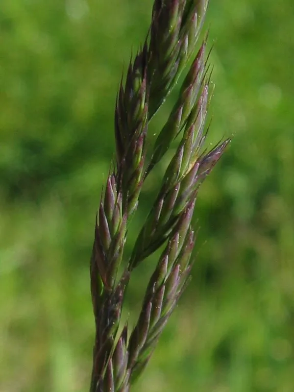
Red fescue
Festuca rubra261 records © Kristian Peters -- Fabelfroh 12:31, 9 September 2006 (UTC) · CC BY-SA 3.0
France · Terrestrial
Nature reserve of 263 hectares in France, established in 1975.
Nature reserve of 263 hectares in France, established in 1975.
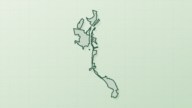
Réserve naturelle nationale de Saint-Mesmin is a nature reserve in France (Europe). It is a predominantly terrestrial area. Established in 1975, it covers about 263 hectares.
Protected as a nature reserve. International labels and designations: Natura 2000 network (2 sites). Key dates: established in 1975, first Natura 2000 site under the Birds Directive in 2003 and first Natura 2000 site under the Habitats Directive in 2007.
Sources: Wikidata (CC0) for establishment and international labels; EEA Natura 2000 database (CC-BY 4.0) for site designation dates.
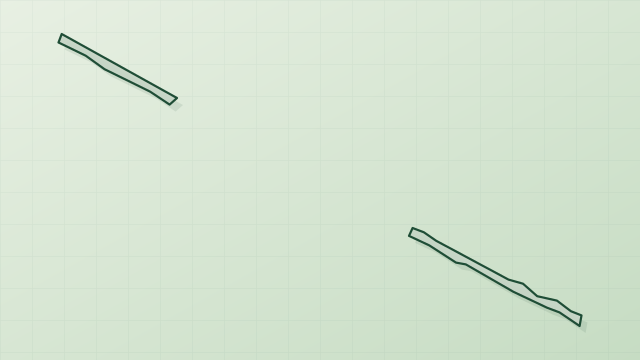
In France (Europe). Representative point: 47.8768° N, 1.8133° E.
About 263 hectares (3 km²). It is the 69th largest of the 121 nature reserves in France covered by Parkavela.
In 1975.
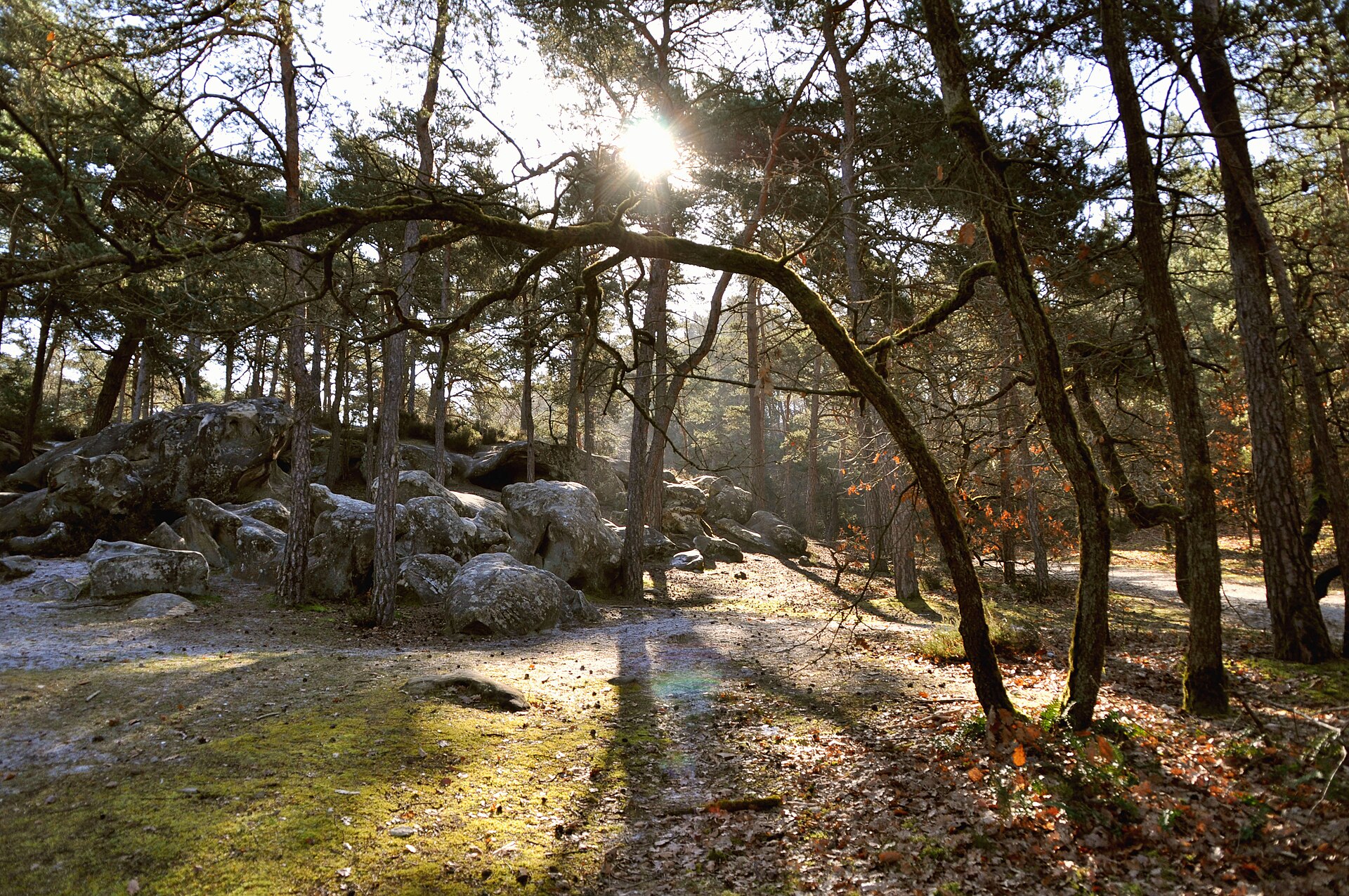
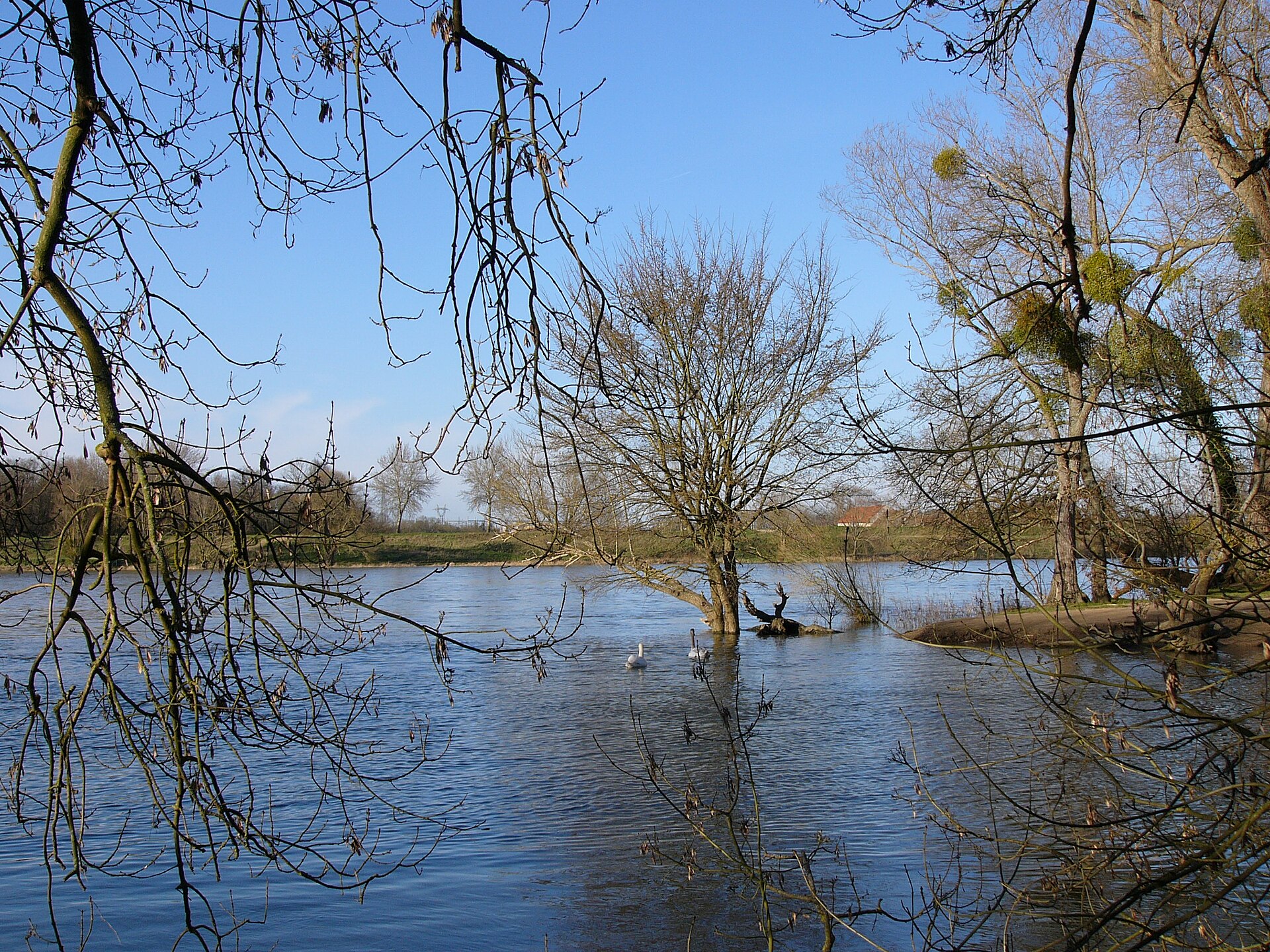
A terrestrial area, with forests and freshwater.
According to the BRGM's simplified lithological map, the bedrock consists mainly of sands (100% of sampled points). These are mostly sedimentary rocks.
Natura 2000 network (2 sites).
Best time to visit: from April to October, with average temperatures of 10 to 21 °C and moderate rainfall.
2 viewpoints, including Pointe de Courpain (OpenStreetMap).
Nearest towns of over 50,000 people, as the crow flies: Orléans (4 km) and Évry-Courcouronnes (91 km). Nearest airport: Tours Val de Loire (TUF), about 92 km away.
The nearest railway station is Chaingy-Fourneaux-Plage, about 1 km from the site boundary.
Yes. Waymarked hiking routes listed in OpenStreetMap: 3.
Among the species most often recorded on GBIF are Festuca rubra (Red fescue), Elymus pungens (Sea Couch), Sylvia atricapilla (Eurasian Blackcap) and Phylloscopus collybita (Common Chiffchaff).
© OpenStreetMap
Download the boundary: GeoJSON · GPX Boundary © OpenStreetMap contributors (ODbL).
The representative point of the site lies at around 99 m above sea level. Over the 1996–2025 period, the mean annual temperature is about 12.1 °C and total precipitation reaches roughly 728 mm per year. The warmest month is usually August, the coolest January, and the wettest May. According to the BRGM's simplified lithological map, the bedrock consists mainly of sands (100% of sampled points). These are mostly sedimentary rocks.
Sedimentary rocks 100 %
Source: BRGM, simplified lithological map at 1:1,000,000 (Licence Ouverte), 11 points sampled within the boundary.
● Mean temperature (°C) · ▮ Precipitation (mm)
Source: Copernicus ERA5-Land (C3S, doi:10.24381/cds.68d2bb30), monthly averages 1996–2025 interpolated to the representative point, temperatures adjusted for elevation.
Contains modified Copernicus Climate Change Service information 2026. Neither the European Commission nor ECMWF is responsible for any use that may be made of the Copernicus information or data it contains.
According to CORINE Land Cover (2018), the site is mainly made up of lakes and rivers (75%), forests (18%) and farmland (7%). The land is almost flat (mean slope under 2°). The 2 Natura 2000 sites overlapping the area list 10 habitats of European interest (2 priority), the most extensive being alluvial forests with Alnus glutinosa and Fraxinus excelsior (Alno-Padion, Alnion incanae, Salicion albae), water courses of plain to montane levels with the Ranunculion fluitantis and Callitricho-Batrachion vegetation and xeric sand calcareous grasslands.
Based on occurrences aggregated by GBIF, several species are regularly recorded within the site. Among the most frequent are Festuca rubra (Red fescue), Elymus pungens (Sea Couch), Sylvia atricapilla (Eurasian Blackcap) and Phylloscopus collybita (Common Chiffchaff). The full list of documented taxa is shown below. The overlapping Natura 2000 sites list 62 species of European interest: 41 birds, 8 mammals, 1 amphibian, 8 fish, 3 invertebrates and 1 plant.
From the official forms of the 2 Natura 2000 sites overlapping the area (areas reported for each whole site).
and 2 more
Common Kingfisher (Alcedo atthis) resident, Eurasian Teal (Anas crecca) wintering, Mallard (Anas platyrhynchos) breeding, Great Egret (Ardea alba) wintering passage, Grey Heron (Ardea cinerea) resident, Common Pochard (Aythya ferina) wintering, Tufted Duck (Aythya fuligula) wintering, Eurasian Stone-curlew (Burhinus oedicnemus) passage breeding, Ruff (Calidris pugnax) passage, Whiskered Tern (Chlidonias hybrida) passage, Black Tern (Chlidonias niger) passage, White stork (Ciconia ciconia) passage and 29 more
Barbastelle (Barbastella barbastellus), Eurasian Beaver (Castor fiber), Eurasian otter (Lutra lutra), Bechstein's bat (Myotis bechsteinii), Geoffroy's bat (Myotis emarginatus), Greater mouse-eared bat (Myotis myotis), Greater Horseshoe Bat (Rhinolophus ferrumequinum), Lesser horseshoe bat (Rhinolophus hipposideros)
Allis shad (Alosa alosa), Spined loach (Cobitis taenia), European bullhead (Cottus gobio), Common Bullhead (Cottus perifretum), European brook lamprey (Lampetra planeri), Sea lamprey (Petromyzon marinus), European bitterling (Rhodeus amarus), Atlantic salmon (Salmo salar)
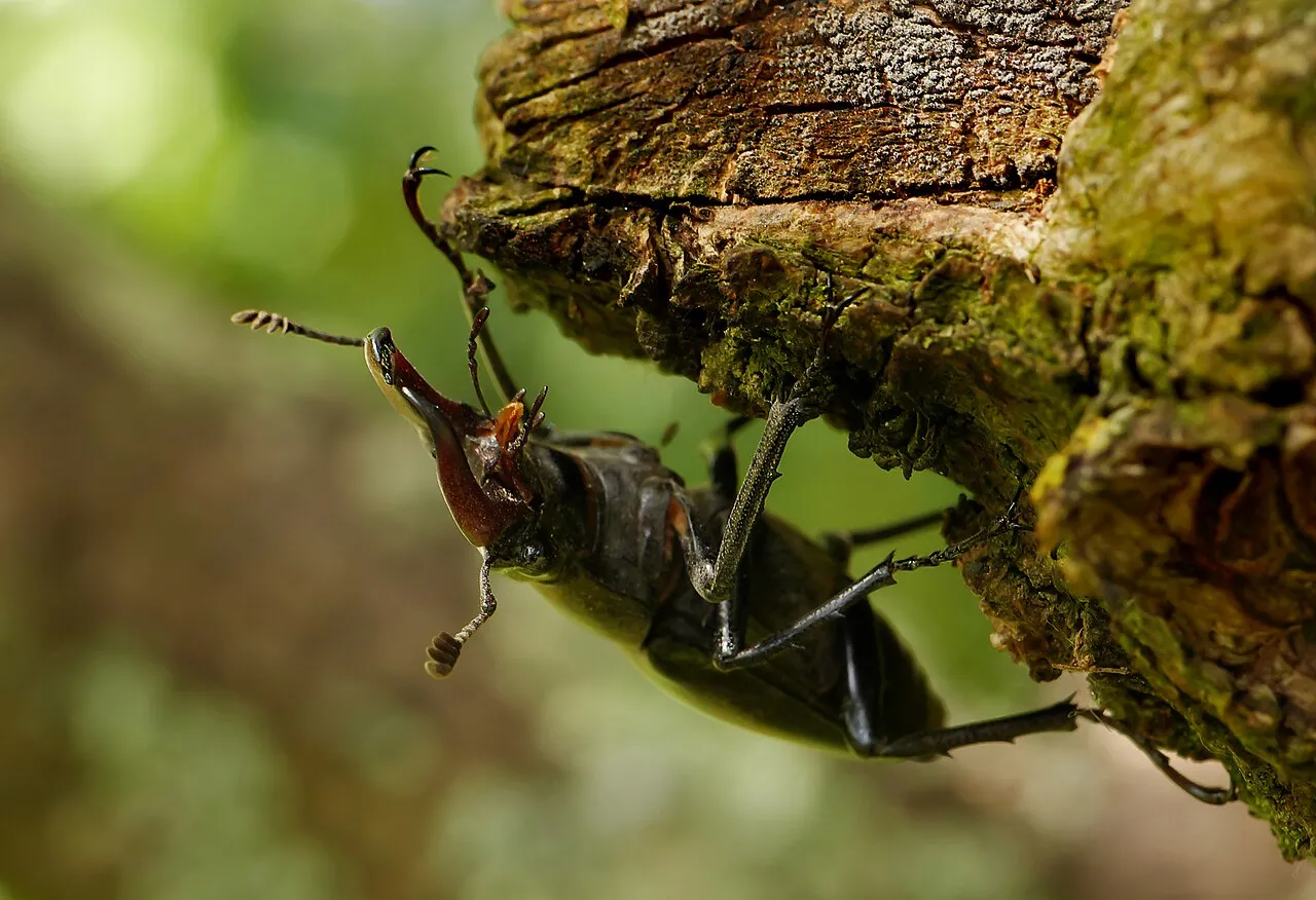
Greater Capricorn Beetle (Cerambyx cerdo), Stag beetle (Lucanus cervus), Green snaketail (Ophiogomphus cecilia)
Source: Natura 2000 standard data forms (EEA, CC-BY 4.0). Not exhaustive: sensitive species are not published.
Plant
261 records © Kristian Peters -- Fabelfroh 12:31, 9 September 2006 (UTC) · CC BY-SA 3.0
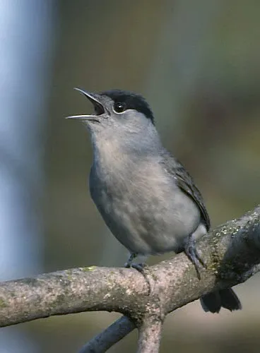
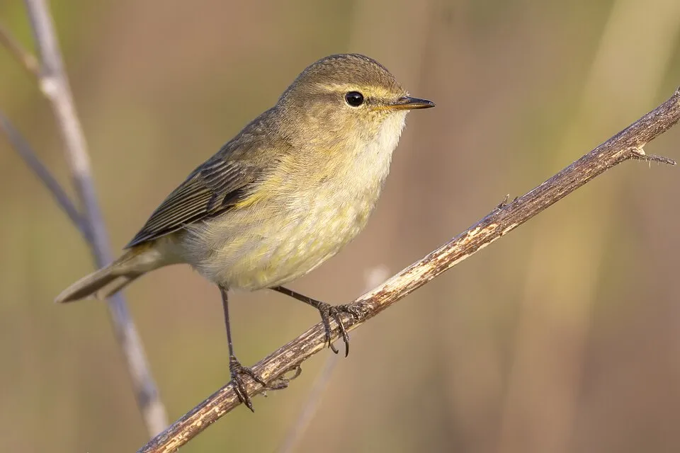


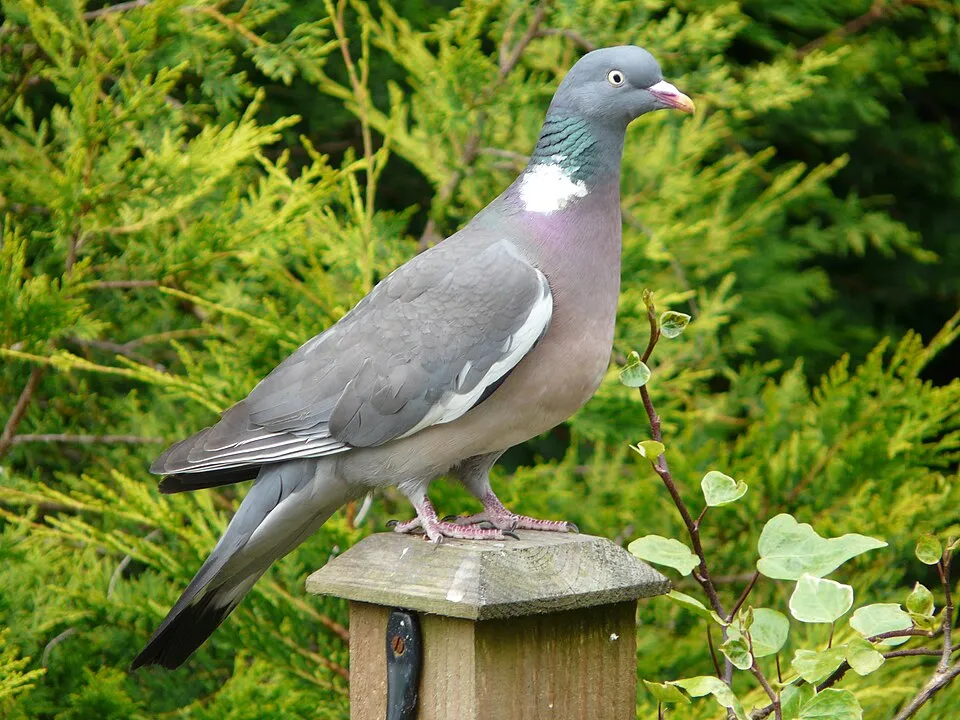
Occurrences documented via GBIF; they are neither an exhaustive inventory nor proof of current presence.
Records: GBIF.org (CC-BY). Names: Wikidata (CC0), GBIF. Photos: Wikimedia Commons.
The primary purpose of the site is to preserve its natural habitats and the biodiversity they support. The species recorded (Biodiversity tab) reflect its ecological value. The designations it holds frame its management and the control of land use.
According to CORINE Land Cover, land cover here remained almost unchanged between 1990 and 2018 (less than 0.5% of the area affected). At night, 73% of the area gives off artificial light detectable from space (NASA VIIRS Black Marble composite, 2016). According to the Natura 2000 forms, of 10 assessed habitats of European interest, 3 are in average or reduced condition and the rest in good condition. According to the Water Framework Directive assessment (2022 river basin management plans, data 2015–2017), of the 2 rivers assessed within the site, 1 has good ecological status and 1 moderate ecological status. Since 2000, 40 invasive alien species have been recorded within the site (GBIF observations), 9 of them listed as of Union concern under EU Regulation 1143/2014. Among them: Ludwigia grandiflora (Water primrose), Myocastor coypus (Coypu) and Elodea nuttallii (Western waterweed).
0
No large fire mapped (fires over about 30 ha)
73%
of the area gives off artificial light visible from space
< 1%
buildings, business areas, roads, quarries · farmland 7%
< 0.5%
of the area changed, 1990–2018 · CORINE
91%
of the 12 km of assessed rivers in good or high ecological status · WFD 2022
assessments 2015–2017
40
incl. 9 of EU concern · since 2000
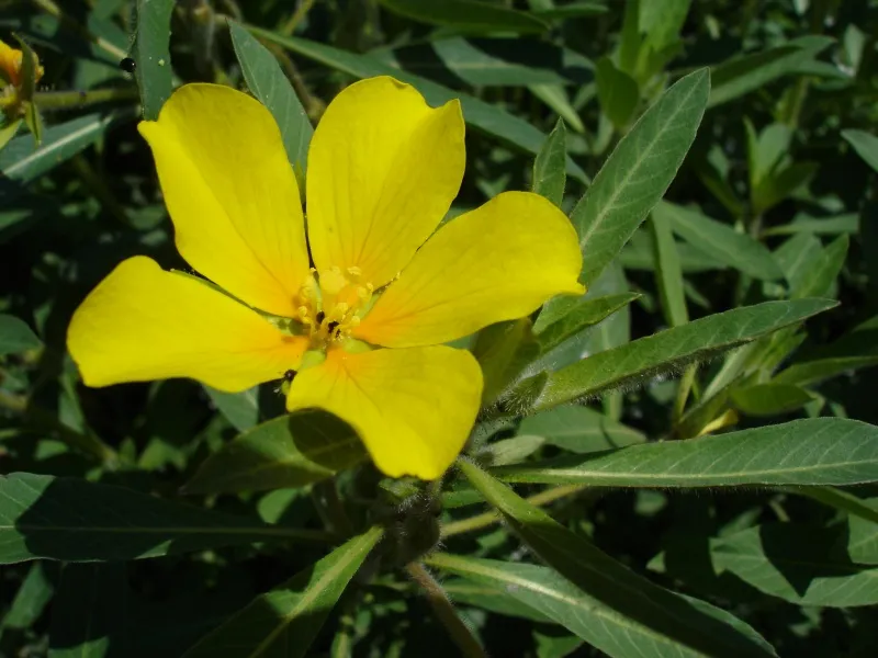 Water primroseEU
 CoypuEU
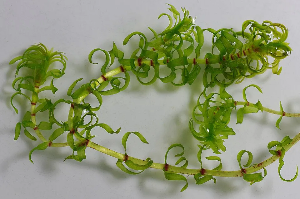 Western waterweedEU
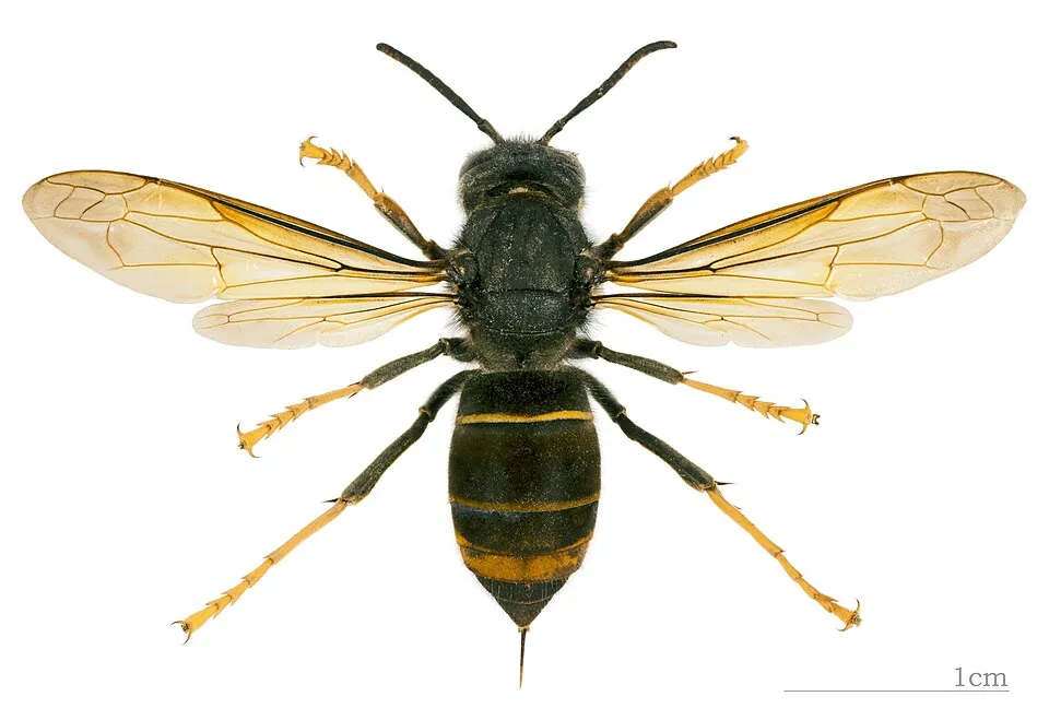 Asian hornetEU
 Tree-of-heavenEU
 Japanese KnotweedEU
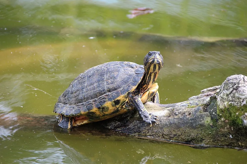 Pond sliderEU
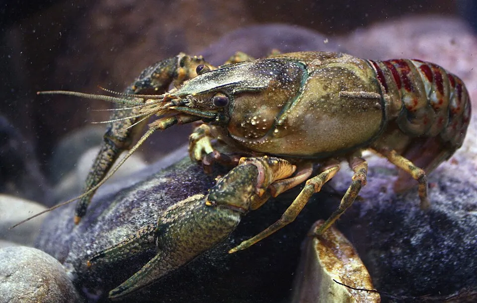 Spinycheek crayfishEU
Photos: Water primrose © Bouba · CC BY-SA 3.0; Coypu © Philippe Amelant · CC BY-SA 3.0; Western waterweed © Christian Fischer · CC BY-SA 3.0; Asian hornet © Didier Descouens · CC BY-SA 4.0; Tree-of-heaven © Darkone · CC BY-SA 2.5; Japanese Knotweed © W.carter · CC0-1.0; Pond slider © Viva.Chelonia · CC BY 2.0; Spinycheek crayfish © Astacoides · CC BY-SA 3.0
Sources: Global Forest Change (Hansen et al., University of Maryland, via Global Forest Watch, CC-BY 4.0); EFFIS, European Commission / Copernicus; NASA Black Marble 2016 (public domain); CORINE Land Cover 2018 (Copernicus) or MODIS.
CORINE Land Cover Change 1990–2018: generated using European Union's Copernicus Land Monitoring Service information (EEA), aggregated by Parkavela; DOI 10.2909/f30f1000-7cf8-43bb-872c-5eb093911b24.
Ecological status of water bodies: European Environment Agency, WISE – Water Framework Directive, 3rd river basin management plans (2022), CC BY 4.0. Official national classification, not comparable between countries.
Invasive alien species: Global Register of Introduced and Invasive Species (ISSG, CC BY 4.0); Union list, Regulation (EU) 1143/2014 (INBO, CC0); GBIF.org records (CC0 / CC BY 4.0), at least 2 per species.
1 public car parks listed within the site
3 waymarked routes listed
Data © OpenStreetMap contributors (ODbL) · Wikidata (CC0)
Tracks © OpenStreetMap contributors (ODbL), clipped to the boundary; elevation gain and profiles computed on the longest section from Mapzen Terrain Tiles (≈ 30 m), indicative only.
The nearest railway station is Chaingy-Fourneaux-Plage, about 1 km from the site boundary. Nearest towns of over 50,000 people, as the crow flies: Orléans (4 km) and Évry-Courcouronnes (91 km). Nearest airport: Tours Val de Loire (TUF), about 92 km away. About 370,000 people live within 20 km of the site boundary, 290,000 of them within 10 km (GHSL estimate, 2020). This population has grown by about 9% since 2000. Public car parks listed within the site: 1. Waymarked hiking routes listed in OpenStreetMap: 3. To see: 2 viewpoints, including Pointe de Courpain. To plan a visit (access, opening periods, visitor rules), it is best to consult the official information from the managing body and the official website listed in this page's sources.
Source: OpenStreetMap (ODbL), Wikidata (CC0), October 2026.
Best time to visit: from April to October, with average temperatures of 10 to 21 °C and moderate rainfall. Day length ranges from about 8 h 24 min in December to 16 h 00 min in June. Wildlife records published on GBIF peak for birds (August and September), plants (July), butterflies and moths (July and August) and dragonflies (July). These peaks also reflect when observers are most active.
Source: Copernicus ERA5-Land (C3S), monthly averages 1996–2025 at the representative point, temperatures adjusted for elevation.
Contains modified Copernicus Climate Change Service information 2026. Neither the European Commission nor ECMWF is responsible for any use that may be made of the Copernicus information or data it contains.
Monthly records published on GBIF (CC-BY), relative to the busiest month; also reflects observer activity.
Data © OpenStreetMap contributors (ODbL), Wikidata (CC0) and the sources cited.