Germany · Terrestrial
Schlei Nature Park
Nature park of 49,790 hectares in Germany, established in 2008.
Overview
Nature park of 49,790 hectares in Germany, established in 2008.
Schlei Nature Park is located in Germany (Europe). It is a predominantly terrestrial area. Established in 2008, it covers about 49,790 hectares.
Protections and designations
Natura 2000 · habitats (SAC) · 10 sites
- Busdorfer Tal DE1523381
- Drülter Holz DE1325356
- Großer Schnaaper See, Bültsee und anschließende Flächen DE1524391
- Karlsburger Holz DE1425301
- Karlshofer Moor DE1523353
- Kiuser Gehege DE1424357
- and 4 more
Natura 2000 · birds (SPA) · 2 sites
- NSG Schwansener See DE1326301
- Schlei DE1423491
Protected as a nature park. International labels and designations: Natura 2000 network (11 sites). Key dates: first Natura 2000 site under the Birds Directive in 1992, established in 2008 and first Natura 2000 site under the Habitats Directive in 2010.
In our collections
Timeline
-
1992
First Natura 2000 site under the Birds Directive 2 such sites designated up to 2004
-
2008
Established
-
2010
First Natura 2000 site under the Habitats Directive 9 such sites designated up to 2010
Sources: Wikidata (CC0) for establishment and international labels; EEA Natura 2000 database (CC-BY 4.0) for site designation dates.
Frequently asked questions
Where is Schlei Nature Park?
In Germany (Europe). Representative point: 54.5667° N, 9.7833° E.
How large is Schlei Nature Park?
About 49,790 hectares (498 km²). It is the 46th largest of the 66 nature parks in Germany covered by Parkavela. About 5,100 ha are at sea.
When was Schlei Nature Park established?
In 2008.
What habitats and landscapes does Schlei Nature Park include?
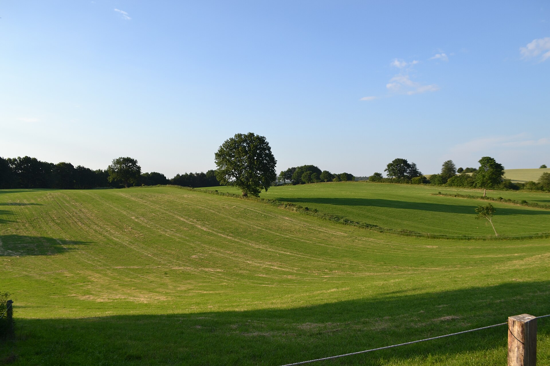
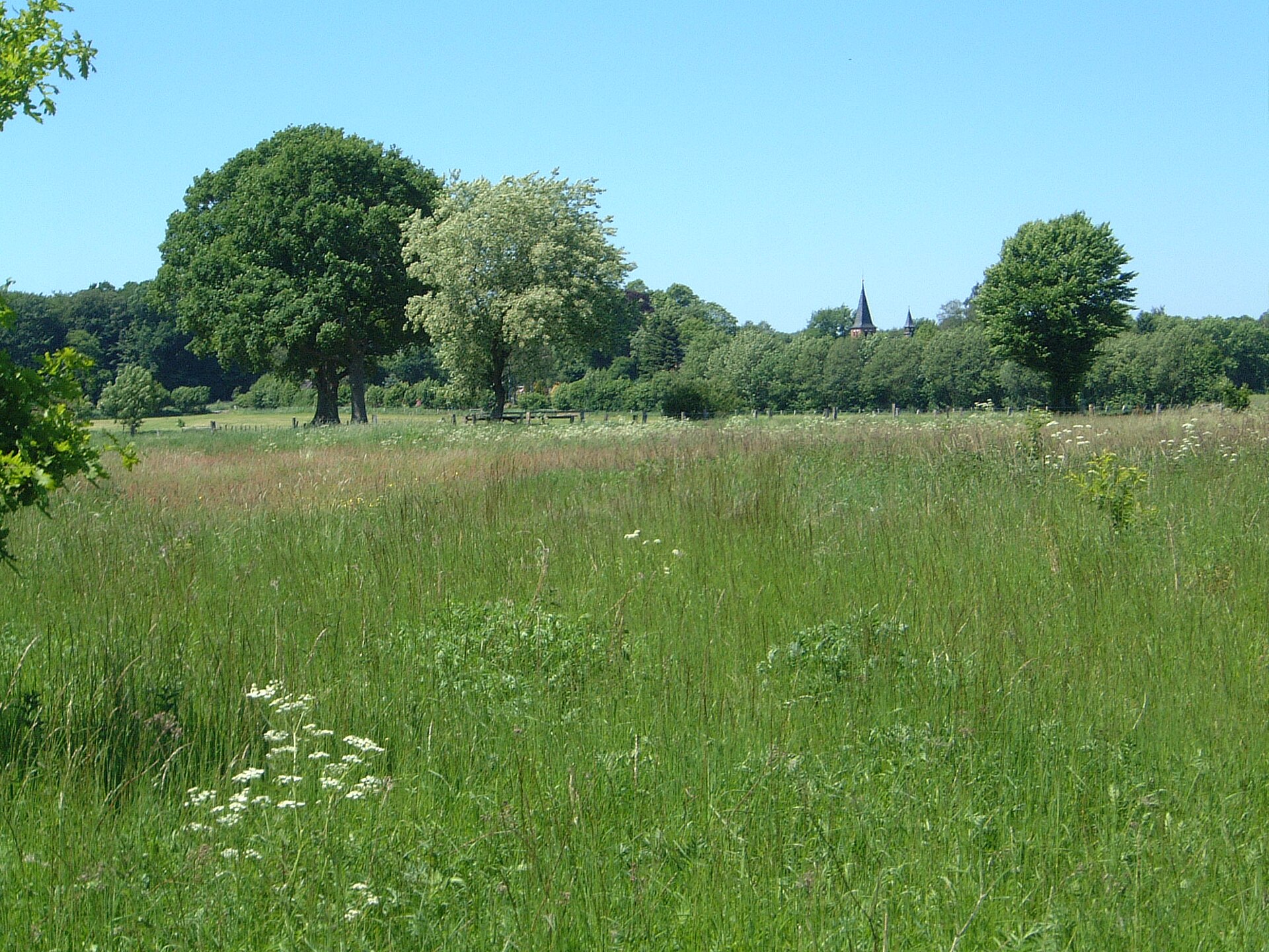
A terrestrial area, with coasts.
What rocks lie beneath Schlei Nature Park?
According to the European 1:1 million geological map (EGDI), the bedrock consists mainly of glacial deposits (56% of sampled points) and sands and gravels (31%). These are mostly sedimentary rocks. The geological units date mainly from the Quaternary (100% of sampled points).
Which international labels apply to Schlei Nature Park?
Natura 2000 network (11 sites).
When is the best time to visit Schlei Nature Park?
Best time to visit: from May to October, with average temperatures of 10 to 18 °C and moderate rainfall.
What is there to see in Schlei Nature Park?
27 viewpoints, 1 waterfall, 34 lakes and ponds and 2 bird hides, including Aussichtspunkt NABU, Kleine Kaskade, Brandkuhle and Vogelbeobachtungsturm Reesholm (OpenStreetMap).
Where can I stay in Schlei Nature Park?
21 campsites, including Camping Lindaunis, Campingpark Schlei-Karschau and Campingplatz Haithabu (OpenStreetMap).
Can you swim in Schlei Nature Park?
30 monitored bathing sites lie in or within 1 km of the site; official 2025 classification: 21 excellent, 6 good and 1 sufficient (European Environment Agency). Swimming is only permitted at the sites and times authorised locally.
What is the nearest large city to Schlei Nature Park?
Nearest towns of over 50,000 people, as the crow flies: Flensburg (21 km) and Kiel (27 km). Nearest airport: Sylt (GWT), about 81 km away.
How can I reach Schlei Nature Park by train?
Schleswig railway station lies within the site.
Where can I get visitor information on site?
Ticket Office, Touristikverein Kappeln / Schlei-Ostsee e.V. and Touristinformation Kappeln.
Are there waymarked hiking trails in Schlei Nature Park?
Yes. Waymarked hiking routes listed in OpenStreetMap: 64, including E 1, E 6, Nord Süd Trail, Abschnitt Flensburg and Jakobsweg. The “FS · Fördesteig” route runs for about 18 km through the site.
Which species can be seen in Schlei Nature Park?
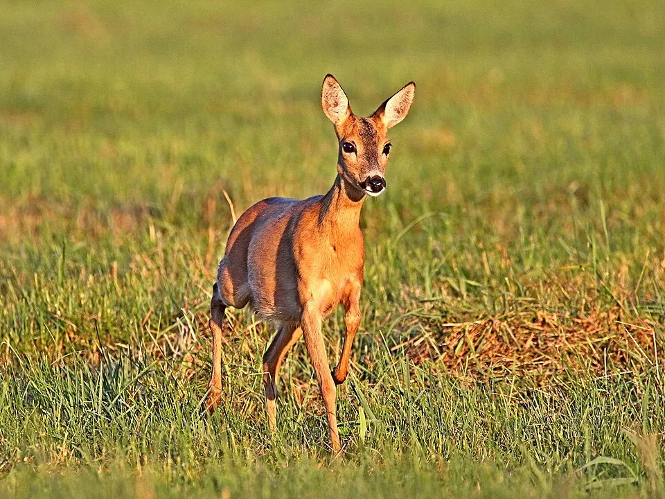
Among the species most often recorded on GBIF are Capreolus capreolus (Roe deer), Turdus merula (Common Blackbird), Parus major (Great tit) and Fringilla coelebs (Eurasian Chaffinch).
© OpenStreetMap
Download the boundary: GeoJSON · GPX Boundary © OpenStreetMap contributors (ODbL).
Geography
Over the 1996–2025 period, the mean annual temperature is about 9.6 °C and total precipitation reaches roughly 780 mm per year. The warmest month is usually August, the coolest January, and the wettest July. According to the European 1:1 million geological map (EGDI), the bedrock consists mainly of glacial deposits (56% of sampled points) and sands and gravels (31%). These are mostly sedimentary rocks. The geological units date mainly from the Quaternary (100% of sampled points). The site contains 8 lakes larger than 10 ha, totalling 3.2 km² of water; the largest, Schwansener See, covers 1.0 km² (HydroLAKES). Schwansener See (112 ha) is 2 m deep (Wikidata).
Area
- Area
- 49,790 ha
- Lakes over 10 ha
- 8 (3.2 km²)
- Coordinates
- 54.5667, 9.7833
Lakes: HydroLAKES (Messager et al. 2016, hydrosheds.org, CC BY 4.0) · depths: Wikidata (CC0)
Bedrock
- Glacial deposits 56 %
- Sands and gravels 31 %
- Peat 6 %
- Clays and silts 6 %
Sedimentary rocks 100 % · Main age: Quaternary (100%)
Source: EGDI 1:1M geological map (EuroGeoSurveys and national geological surveys), CC BY 4.0 · 16 sampled points within the site.
Climate
● Mean temperature (°C) · ▮ Precipitation (mm)
Source: Copernicus ERA5-Land (C3S, doi:10.24381/cds.68d2bb30), monthly averages 1996–2025 interpolated to the representative point, temperatures adjusted for elevation.
Contains modified Copernicus Climate Change Service information 2026. Neither the European Commission nor ECMWF is responsible for any use that may be made of the Copernicus information or data it contains.
Natural habitats
According to CORINE Land Cover (2018), the site is mainly made up of farmland (59%), grassland and meadows (17%) and marine waters (10%). The site borders the coast. The land is almost flat (mean slope under 2°). The 11 Natura 2000 sites overlapping the area list 38 habitats of European interest (8 priority), the most extensive being large shallow inlets and bays, reefs and Asperulo-Fagetum beech forests.
Biodiversity
Based on occurrences aggregated by GBIF, several species are regularly recorded within the site. Among the most frequent are Capreolus capreolus (Roe deer), Turdus merula (Common Blackbird), Parus major (Great tit) and Fringilla coelebs (Eurasian Chaffinch). The full list of documented taxa is shown below. The overlapping Natura 2000 sites list 34 species of European interest: 27 birds, 2 mammals, 1 amphibian, 2 fish and 2 invertebrates.
Habitats of European interest
From the official forms of the 11 Natura 2000 sites overlapping the area (areas reported for each whole site).
- Large shallow inlets and bays 5,071 ha
- Reefs 1,320 ha
- Asperulo-Fagetum beech forests 484 ha
- Coastal lagoons priority 449 ha
- Atlantic salt meadows (Glauco-Puccinellietalia maritimae) 330 ha
- Natural eutrophic lakes with Magnopotamion or Hydrocharition-type vegetation 147 ha
- Luzulo-Fagetum beech forests 143 ha
- Perennial vegetation of stony banks 93 ha
and 30 more
Species of European interest
Birds · 27
Eurasian Skylark (Alauda arvensis) breeding, Common Kingfisher (Alcedo atthis) breeding, Meadow Pipit (Anthus pratensis) breeding, Common Pochard (Aythya ferina) passage, Tufted Duck (Aythya fuligula) passage, Greater Scaup (Aythya marila) wintering, Eurasian Bittern (Botaurus stellaris) breeding, Common Goldeneye (Bucephala clangula) passage, Common Ringed Plover (Charadrius hiaticula) breeding, Western Marsh Harrier (Circus aeruginosus) breeding, Corn Crake (Crex crex) breeding, Whooper Swan (Cygnus cygnus) wintering and 15 more
Amphibians · 1
Fish · 2
Spined Loach (Cobitis taenia Complex), European brook lamprey (Lampetra planeri)
Invertebrates · 2
Marsh fritillary (Euphydryas aurinia), Desmoulin's whorl snail (Vertigo moulinsiana)
Source: Natura 2000 standard data forms (EEA, CC-BY 4.0). Not exhaustive: sensitive species are not published.
Species to look out for



Observed species
Occurrences documented via GBIF; they are neither an exhaustive inventory nor proof of current presence.
- Roe deer · Capreolus capreolus · 1768
- Common Blackbird · Turdus merula · 868
- Great tit · Parus major · 761
- Eurasian Chaffinch · Fringilla coelebs · 759
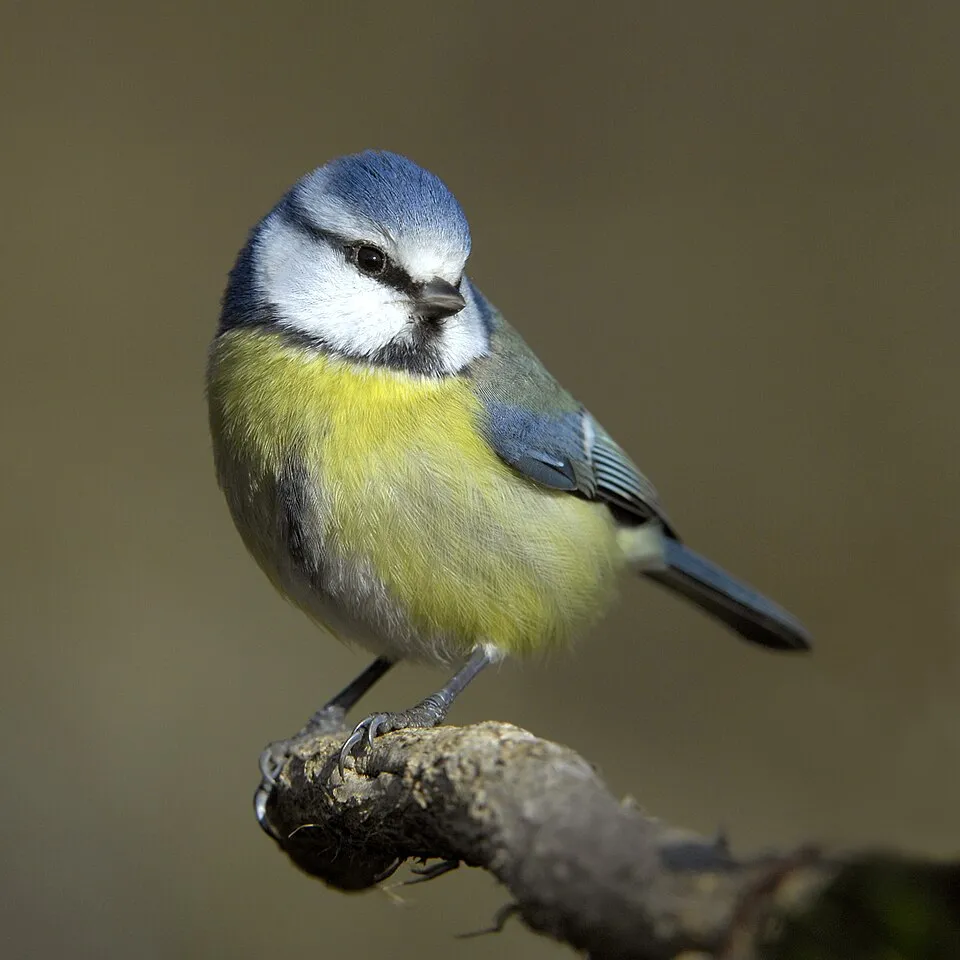
- Eurasian blue tit · Cyanistes caeruleus · 738
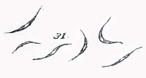
- Monoraphidium contortum · 725
- Mesodinium rubrum · 709
- Common Wood Pigeon · Columba palumbus · 694
- House Sparrow · Passer domesticus · 676
- Teleaulax acuta · 656
- European Greenfinch · Chloris chloris · 649
- Mallard · Anas platyrhynchos · 640
+18 more species
- Monoraphidium minutum · 625
- Greylag Goose · Anser anser · 600
- Carrion crow · Corvus corone · 600
- Eurasian Wren · Troglodytes troglodytes · 598
- European robin · Erithacus rubecula · 596
- Eurasian Tree Sparrow · Passer montanus · 582
- Teleaulax amphioxeia · 580
- Plagioselmis prolonga · 550
- Hemiselmis virescens · 544
- Great Cormorant · Phalacrocorax carbo · 535
- White Wagtail · Motacilla alba · 535
- Common Starling · Sturnus vulgaris · 530
- European Herring Gull · Larus argentatus · 529
- Desmodesmus communis · 494
- Black-headed Gull · Chroicocephalus ridibundus · 476
- Barn Swallow · Hirundo rustica · 467
- Great Spotted Woodpecker · Dendrocopos major · 456
- Katablepharis remigera · 430
Records: GBIF.org (CC-BY). Names: Wikidata (CC0), GBIF. Photos: Wikimedia Commons.
Conservation challenges
The primary purpose of the site is to preserve its natural habitats and the biodiversity they support. The species recorded (Biodiversity tab) reflect its ecological value. The designations it holds frame its management and the control of land use.
According to Global Forest Change data (University of Maryland, Global Forest Watch), about 110 ha of tree cover were lost within the boundary between 2001 and 2023 (under 1% of its area), peaking in 2014 and 2016. These losses include logging, storms and fires, and do not account for regrowth. According to the European CORINE Land Cover inventory (Copernicus), land cover changed on about 378 ha of the site between 1990 and 2018 (under 1% of its area): farmland shrank by 327 ha, mostly giving way to built-up land, while built-up land grew by 278 ha, mostly at the expense of farmland. At night, 5% of the area gives off artificial light detectable from space (NASA VIIRS Black Marble composite, 2016). Built-up and developed land (buildings, business areas, roads, quarries) covers 7% of the area, and farmland 59% (CORINE Land Cover). According to the Natura 2000 forms, of 38 assessed habitats of European interest, 1 is in excellent condition and 16 in average or reduced condition. According to the Water Framework Directive assessment (2022 river basin management plans, data 2018–2019), none of the 121 km of rivers assessed within the site reaches good ecological potential; they mostly have moderate ecological potential. Other assessed water bodies: lakes, 0 of 2 in good ecological status or better; coastal waters, 0 of 6 in good ecological status or better. Since 2000, 33 invasive alien species have been recorded within the site (GBIF observations), 10 of them listed as of Union concern under EU Regulation 1143/2014. Among them: Cervus nippon (Sika deer), Alopochen aegyptiaca (Egyptian Goose) and Nyctereutes procyonoides (Raccoon Dog).
Pressure indicators
Tree cover lost
110 ha
2001–2023 · < 1% of the area
20012023
Fires since 2016
0
No large fire mapped (fires over about 30 ha)
Light at night
5%
of the area gives off artificial light visible from space
DarkLit
Built-up land
7%
buildings, business areas, roads, quarries · farmland 59%
Land cover change
378 ha
changed cover, 1990–2018 · CORINE · < 1% of the area
- −327 ha · farmland
- +278 ha · built-up land
Rivers and lakes
0%
of the 121 km of assessed rivers at good or high ecological potential (mostly heavily modified water bodies) · WFD 2022
Lakes: 0 of 2 good or better
Coastal waters: 0 of 6 good or better
assessments 2018–2019
Invasive alien species
33
incl. 10 of EU concern · since 2000
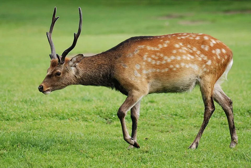 Sika deerEU
 Egyptian GooseEU
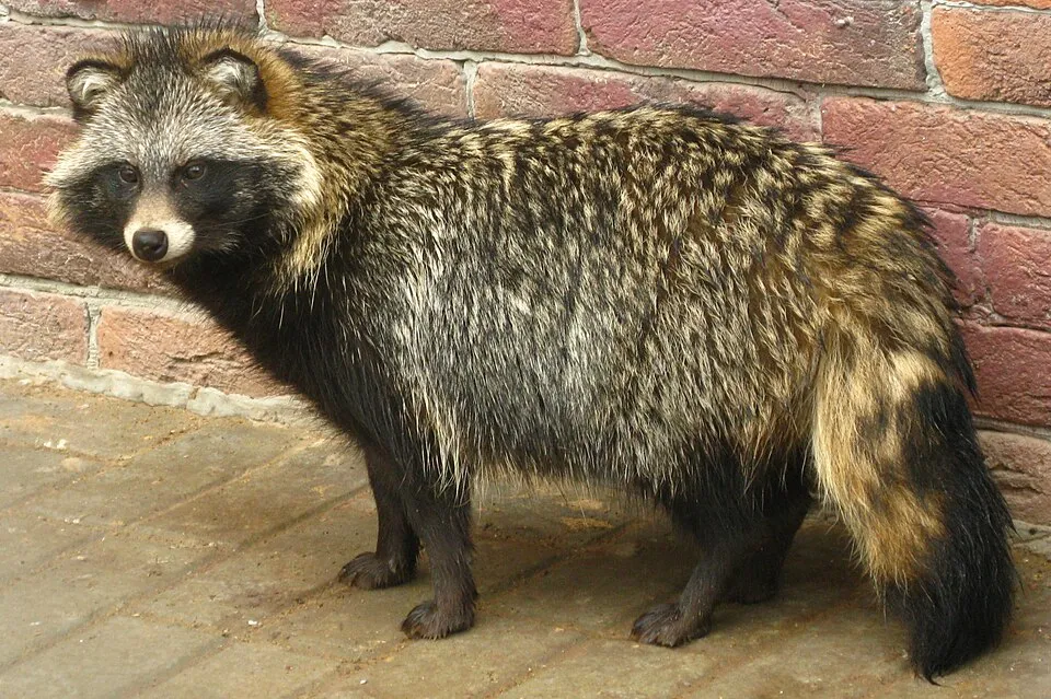 Raccoon DogEU
 Himalayan BalsamEU
 Giant HogweedEU
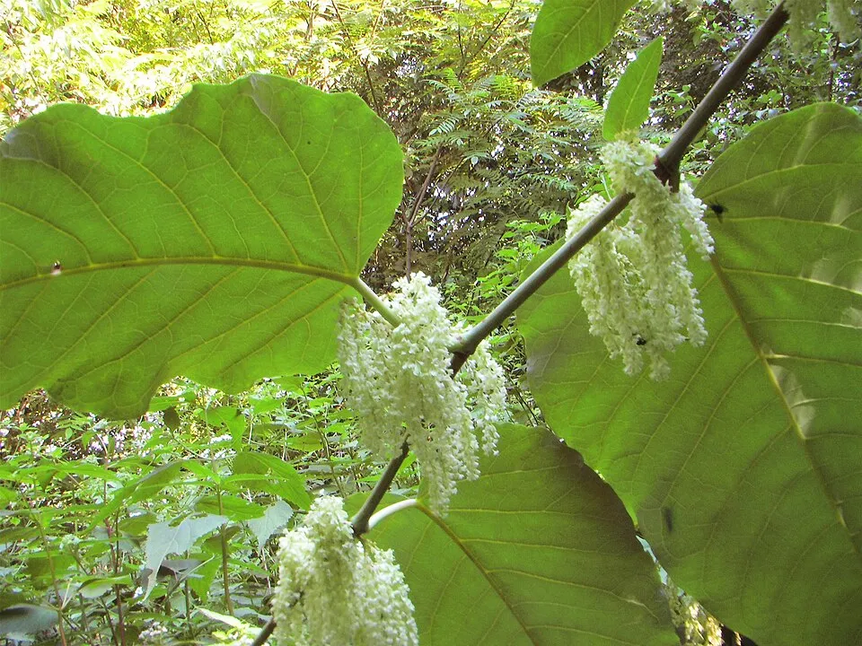 Giant KnotweedEU
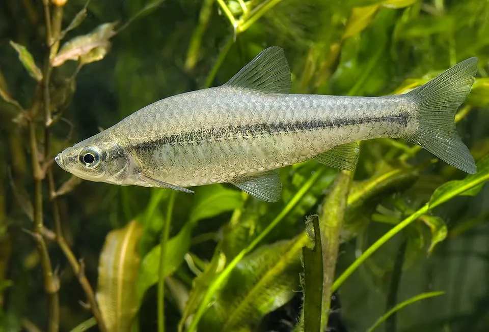 Topmouth gudgeonEU
 Japanese KnotweedEU
Photos: Sika deer © Lilly M · CC BY-SA 3.0; Egyptian Goose © Rhododendrites · CC BY-SA 4.0; Raccoon Dog © Доктор рукиноги · CC BY-SA 3.0; Himalayan Balsam © Guptaele · CC BY-SA 4.0; Giant Hogweed © anastasiiamerkulova · CC BY 4.0; Giant Knotweed © Velocicaptor · Public domain; Topmouth gudgeon © Seotaro, edited by Lycaon · CC BY-SA 3.0; Japanese Knotweed © W.carter · CC0-1.0
Sources: Global Forest Change (Hansen et al., University of Maryland, via Global Forest Watch, CC-BY 4.0); EFFIS, European Commission / Copernicus; NASA Black Marble 2016 (public domain); CORINE Land Cover 2018 (Copernicus) or MODIS.
CORINE Land Cover Change 1990–2018: generated using European Union's Copernicus Land Monitoring Service information (EEA), aggregated by Parkavela; DOI 10.2909/f30f1000-7cf8-43bb-872c-5eb093911b24.
Ecological status of water bodies: European Environment Agency, WISE – Water Framework Directive, 3rd river basin management plans (2022), CC BY 4.0. Official national classification, not comparable between countries.
Invasive alien species: Global Register of Introduced and Invasive Species (ISSG, CC BY 4.0); Union list, Regulation (EU) 1143/2014 (INBO, CC0); GBIF.org records (CC0 / CC BY 4.0), at least 2 per species.
Practical information
Cities and airport
- Flensburg
21 km as the crow flies - Kiel
27 km as the crow flies - Airport: Sylt (GWT)
81 km as the crow flies
Visitor information
- Ticket Office
within the site - Touristikverein Kappeln / Schlei-Ostsee e.V.
within the site - Touristinformation Kappeln
within the site - Standort „Altes Zollgelände“
within the site
Things to see
27 viewpoints · 1 waterfall · 34 lakes and ponds · 2 bird hides
- Aussichtspunkt NABU
viewpoint - Kleine Kaskade
waterfall - Brandkuhle
lake or pond - Vogelbeobachtungsturm Reesholm
bird hide - Aussichtsturm Schleswig
viewpoint
Where to stay
21 campsites
- Camping Lindaunis
campsite - Campingpark Schlei-Karschau
campsite - Campingplatz Haithabu
campsite - Campingplatz Schleimünde
campsite - Campingplatz Wassermühlenholz
campsite
Hiking
64 waymarked routes listed, including:
E 1E 6Nord Süd Trail, Abschnitt FlensburgJakobswegWanderweg Schlei-Eider-Elbe / FernwanderwegPilgrimsruten/Pilgerroute
By bike
EV10 · 26 kmEV3 · 17 km WiFriN Wikinger-Friesen-Weg (Nord) · 49 kmWiFri Wikinger-Friesen-Weg · 46 kmOchsenweg · 16 km
+ 16 local loops
Signed cycle routes: this does not mean that cycling is allowed on footpaths.
Wheelchair access
- Tourist Information
visitor information - Touristinformation Kappeln
visitor information - Plessenhof
visitor information · partial access - Schleibrücke
path
accessible toilets: 30
Reported by OpenStreetMap contributors (ODbL); check with the park before visiting.
Data © OpenStreetMap contributors (ODbL) · Wikidata (CC0)
Contains information from EuroVelo GPX tracks downloaded from www.EuroVelo.com on 2026-10-22, which is made available here under the Open Database License (ODbL). EuroVelo® is a registered trademark of the ECF. Routes © OpenStreetMap contributors (ODbL), via Waymarked Trails
Waymarked hiking routes
E1 European Long distance path E1 - part Germany, Schleswig-Holstein
13.4 km within the site ↗ 64 m↘ 28 m -2–52 m
E6 Europäischer Fernwanderweg E6, Deutschland, Schleswig-Holstein
13.4 km within the site ↗ 64 m↘ 28 m -2–52 m
NST Nord Süd Trail, Abschnitt Flensburg - Kiel
13.4 km within the site ↗ 64 m↘ 28 m -2–52 m
Jw vJ Jakobsweg - Via Jutlandica - Schleswig-Holstein (via Glücksstadt) Nord
13.2 km within the site ↗ 63 m↘ 28 m -2–52 m
SEE Wanderweg Schlei-Eider-Elbe / Fernwanderweg E1, Schleswig-Holstein, Westvariante
2 km within the site ↗ 15 m↘ 5 m 7–29 m
Tracks © OpenStreetMap contributors (ODbL), clipped to the boundary; elevation gain and profiles computed on the longest section from Mapzen Terrain Tiles (≈ 30 m), indicative only.
Bathing
30 monitored bathing sites in or within 1 km of the site · 2025 classification
Excellent · 21
Good · 6
Sufficient · 1
Not classified · 2
- Bueltsee Gemeindebadestelle Bueltsee · lake · Excellent
- Grosser Schnaaper See Schnaap · lake · Excellent
- Idstedter See Idstedt · lake · Excellent
- Langsee Brekling · lake · Excellent
- Langsee Suederfahrenstedt · lake · Excellent
- Ostsee Damp Hauptstrand · sea · Excellent
- Ostsee Schoenhagen · sea · Excellent
- Ostsee Schuby Strand am Campingplatz · sea · Excellent
- Ostsee Weidefeld · sea · Excellent
- Schlei Borgwedel Jugendherberge · sea · Excellent
and 20 more
Source: European Environment Agency, official bathing water classification (Directive 2006/7/EC, CC-BY 4.0). Swimming is only permitted at the sites and times authorised locally.
Access and visiting
Schleswig railway station lies within the site. Nearest towns of over 50,000 people, as the crow flies: Flensburg (21 km) and Kiel (27 km). Nearest airport: Sylt (GWT), about 81 km away. About 290,000 people live within 20 km of the site boundary, 100,000 of them within 10 km; some 69,000 people are estimated to live inside (GHSL estimate, 2020). Visitor information on site: Ticket Office, Touristikverein Kappeln / Schlei-Ostsee e.V. and Touristinformation Kappeln. Waymarked hiking routes listed in OpenStreetMap: 64, including E 1, E 6, Nord Süd Trail, Abschnitt Flensburg and Jakobsweg. The EuroVelo 10 (about 26 km) and EuroVelo 3 (about 17 km) cycle routes cross the site; 3 other signed cycle routes also pass through, including “WiFriN Wikinger-Friesen-Weg (Nord)” and “WiFri Wikinger-Friesen-Weg” (EuroVelo, OpenStreetMap). OpenStreetMap contributors list 4 wheelchair-accessible places, including Tourist Information and Touristinformation Kappeln; check with the park before visiting. To see: 27 viewpoints, 1 waterfall, 34 lakes and ponds and 2 bird hides, including Aussichtspunkt NABU, Kleine Kaskade, Brandkuhle and Vogelbeobachtungsturm Reesholm. Where to stay: 21 campsites, including Camping Lindaunis, Campingpark Schlei-Karschau and Campingplatz Haithabu. To plan a visit (access, opening periods, visitor rules), it is best to consult the official information from the managing body and the official website listed in this page's sources.
Source: OpenStreetMap (ODbL), Wikidata (CC0), October 2026.
When to visit
Best time to visit: from May to October, with average temperatures of 10 to 18 °C and moderate rainfall. Day length ranges from about 7 h 17 min in December to 17 h 14 min in June. Wildlife records published on GBIF peak for birds (May), plants (from May to July), butterflies and moths (July), dragonflies (August) and mammals (from April to November). These peaks also reflect when observers are most active.
Source: Copernicus ERA5-Land (C3S), monthly averages 1996–2025 at the representative point, temperatures adjusted for elevation.
Contains modified Copernicus Climate Change Service information 2026. Neither the European Commission nor ECMWF is responsible for any use that may be made of the Copernicus information or data it contains.
Wildlife records calendar
JFMAMJJASOND
Birds
Plants
Butterflies & moths
Dragonflies
Mammals
Monthly records published on GBIF (CC-BY), relative to the busiest month; also reflects observer activity.
Gallery
© Matthias Süßen · CC BY-SA 4.0
© Maximilian Dörrbecker (Chumwa) · CC BY-SA 2.0
© Matthias Süßen · CC BY-SA 4.0
© Matti Blume · CC BY-SA 4.0
© MarGreteNeu · CC BY-SA 4.0
© Clemensfranz · CC BY-SA 3.0
Sources and licences
- Wikidata: Q1439531
- OpenStreetMap: relation 334375
- Wikipedia: de.wikipedia.org/wiki/Naturpark_Schlei
References
- cds.climate.copernicus.eu: climate · CC-BY-4.0
- registry.opendata.aws: elevation of the reference point, detailed relief · PD
- land.copernicus.eu: land cover, land cover change, sea share · COPERNICUS
- doi.org: population around the site · CC-BY-4.0
- wikidata.org: official area, establishment date, nearby cities and airport, access and peaks, lake depths, places to see · CC0-1.0
- eea.europa.eu: bathing water quality, ecological status of waters · CC-BY-4.0
- en.eurovelo.com: EuroVelo cycle routes · ODbL-1.0
- cycling.waymarkedtrails.org: cycle routes · ODbL-1.0
- opentopodata.org: elevations · PD
- forest-fire.emergency.copernicus.eu: wildfires · COPERNICUS
- globalforestwatch.org: tree cover loss · CC-BY-4.0
- gbif.org: seasonality of sightings, invasive alien species, observed species · CC-BY-4.0
- europe-geology.eu: geology · CC-BY-4.0
- hydrosheds.org: lakes · CC-BY-4.0
- natura2000.eea.europa.eu: Natura 2000 habitats and species · CC-BY-4.0
- openstreetmap.org: official name, access and peaks, places to see, trail difficulty, wheelchair access · ODbL-1.0
- earthobservatory.nasa.gov: night light · PD
- hiking.waymarkedtrails.org: route difficulty · ODbL-1.0
- nsidc.org: snow cover · PD
- wikidata.org: Wikipedia article · CC-BY-SA-4.0
Data © OpenStreetMap contributors (ODbL), Wikidata (CC0) and the sources cited.