Denmark · Mixed
Wadden Sea National Park
National park of 147,000 hectares in Denmark, established in 2008.
Overview
National park of 147,000 hectares in Denmark, established in 2008.
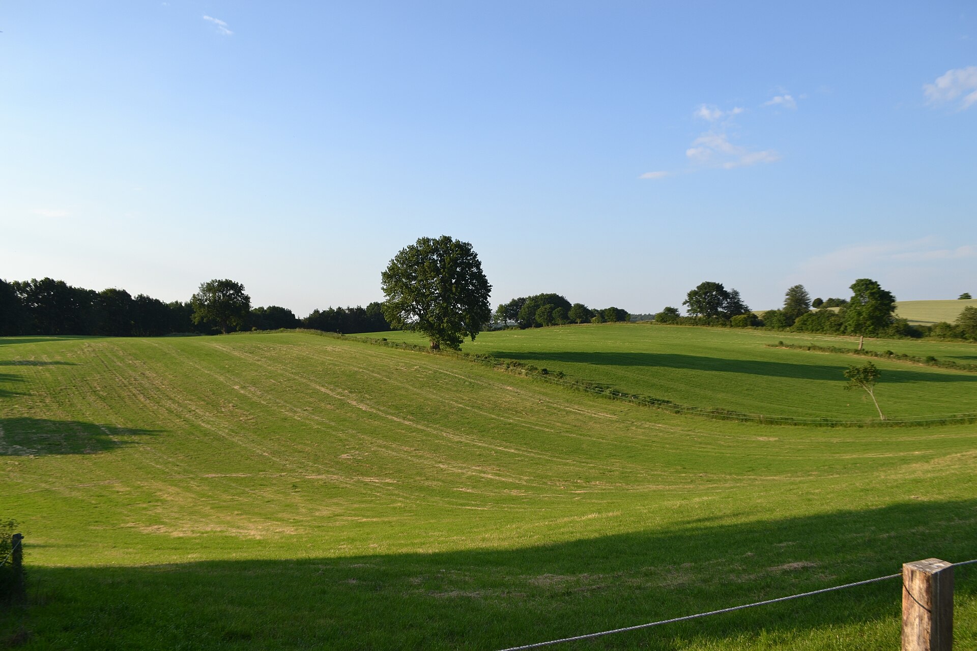
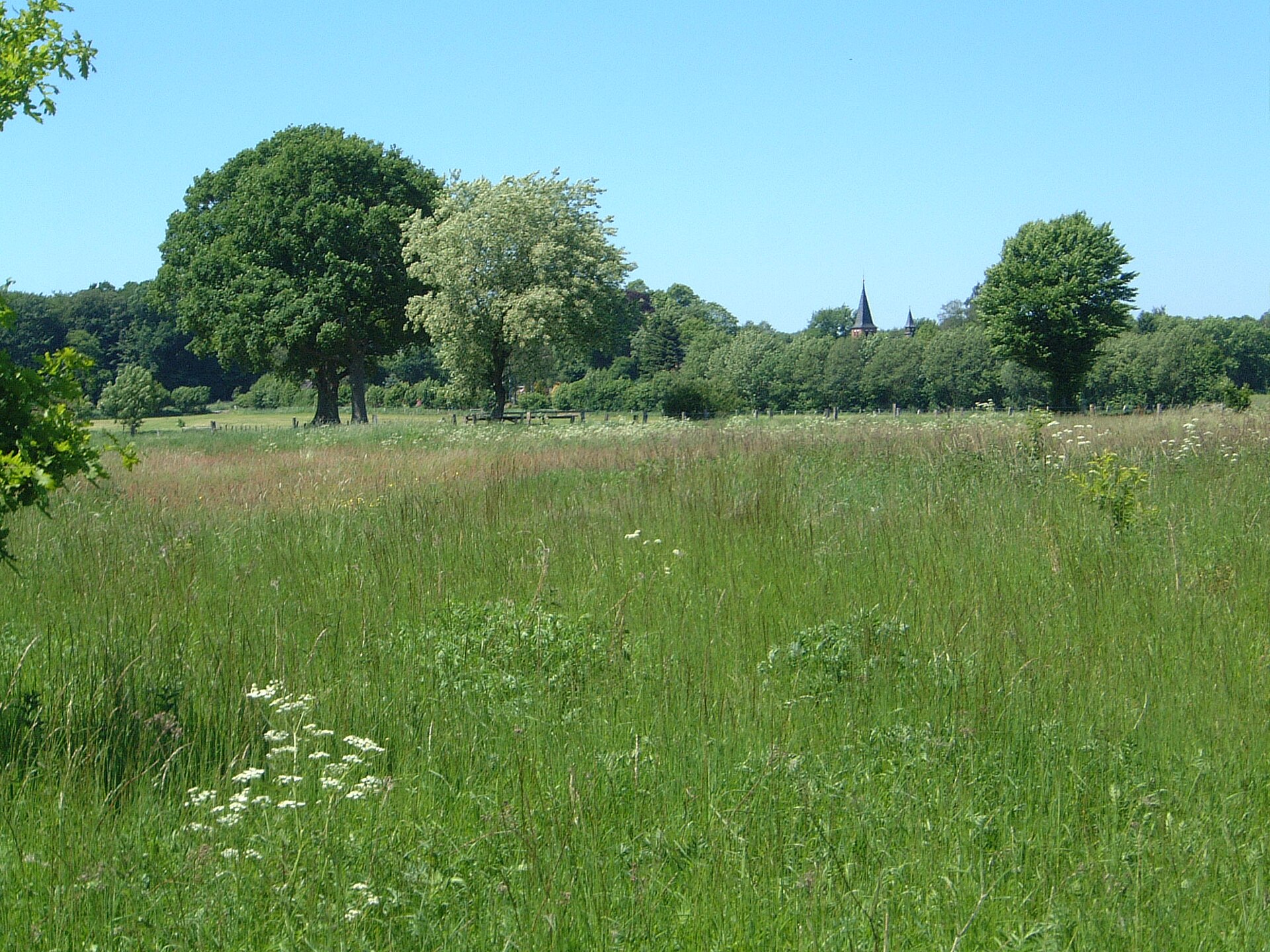
Wadden Sea National Park is located in Denmark (Europe). It covers both land and sea. Established in 2008, it covers about 147,000 hectares.
Protections and designations
UNESCO World Heritage
Ramsar site
Natura 2000 · habitats (SAC) · 2 sites
Natura 2000 · birds (SPA) · 8 sites
- Engarealer ved Ho Bugt DK00AX049
- Fanø DK00AX053
- Mandø DK00AX052
- Ribe Holme og enge med Kongeåens udløb DK00AX051
- Rømø DK009X065
- Skallingen og Langli DK00AX055
- and 2 more
Protected as a national park. International labels and designations: UNESCO World Heritage (“Wadden Sea”), Ramsar site (“Wadden Sea”) and Natura 2000 network (10 sites). Key dates: first Natura 2000 site under the Birds Directive in 1983, established in 2008, first Natura 2000 site under the Habitats Directive in 2011 and World Heritage listing in 2014.
In our collections
Timeline
-
1983
First Natura 2000 site under the Birds Directive 8 such sites designated up to 1983
-
2008
Established
-
2011
First Natura 2000 site under the Habitats Directive 2 such sites designated up to 2011
-
2014
Inscribed as a UNESCO World Heritage Site Wadden Sea
Sources: Wikidata (CC0) for establishment and international labels; EEA Natura 2000 database (CC-BY 4.0) for site designation dates.
Frequently asked questions
Where is Wadden Sea National Park?
In Denmark (Europe). Representative point: 55.2500° N, 8.4833° E.
How large is Wadden Sea National Park?
About 147,000 hectares (1,470 km²). It is the largest of the 5 national parks in Denmark covered by Parkavela. About 112,600 ha are at sea.
When was Wadden Sea National Park established?
In 2008.
What habitats and landscapes does Wadden Sea National Park include?
An area spanning land and sea, with wetlands and coasts.
What rocks lie beneath Wadden Sea National Park?
According to the European 1:1 million geological map (EGDI), the bedrock consists mainly of sands and gravels (75% of sampled points) and clays and silts (25%). These are mostly sedimentary rocks. The geological units date mainly from the Quaternary (100% of sampled points).
What is the highest point of Wadden Sea National Park?
Stagebjerg, at 19 m (OpenStreetMap).
Which international labels apply to Wadden Sea National Park?
UNESCO World Heritage (“Wadden Sea”), Ramsar site (“Wadden Sea”) and Natura 2000 network (10 sites).
When is the best time to visit Wadden Sea National Park?
Best time to visit: from May to September, with average temperatures of 11 to 18 °C and moderate rainfall.
What is there to see in Wadden Sea National Park?
Sneum Digesø (lake or pond) (Wikidata).
Are there historic monuments in Wadden Sea National Park?
Yes. According to Wikidata, 4 monuments entered in the Danish register of listed buildings (fredede bygninger) stand within the boundary. For example: “Rømø Lifeboat Station” in Tønder, “Toftum School” in Tønder and “Kommandørgården” in Tønder.
Can you swim in Wadden Sea National Park?
18 monitored bathing sites lie in or within 1 km of the site; official 2025 classification: 16 excellent and 2 good (European Environment Agency). Swimming is only permitted at the sites and times authorised locally.
What is the nearest large city to Wadden Sea National Park?
Nearest towns of over 50,000 people, as the crow flies: Esbjerg (2 km) and Flensburg (38 km). Nearest airport: Esbjerg (EBJ), about 7 km away.
How can I reach Wadden Sea National Park by train?
The nearest railway station is Varde, less than 1 km from the site boundary.
Where can I get visitor information on site?
Natur & Kultur formidlingscenter - Myrthuegård, Madpakkehuset and Horns Rev Visitor Center.
Are there waymarked hiking trails in Wadden Sea National Park?
Yes. Waymarked hiking routes listed in OpenStreetMap: 29, including Nord Süd Trail, Abschnitt Sylt, Kongeåstien, Drivvejen and Kyst til Kyst Stien. The “MS · Marskstien” route runs for about 27 km through the site.
Which species can be seen in Wadden Sea National Park?
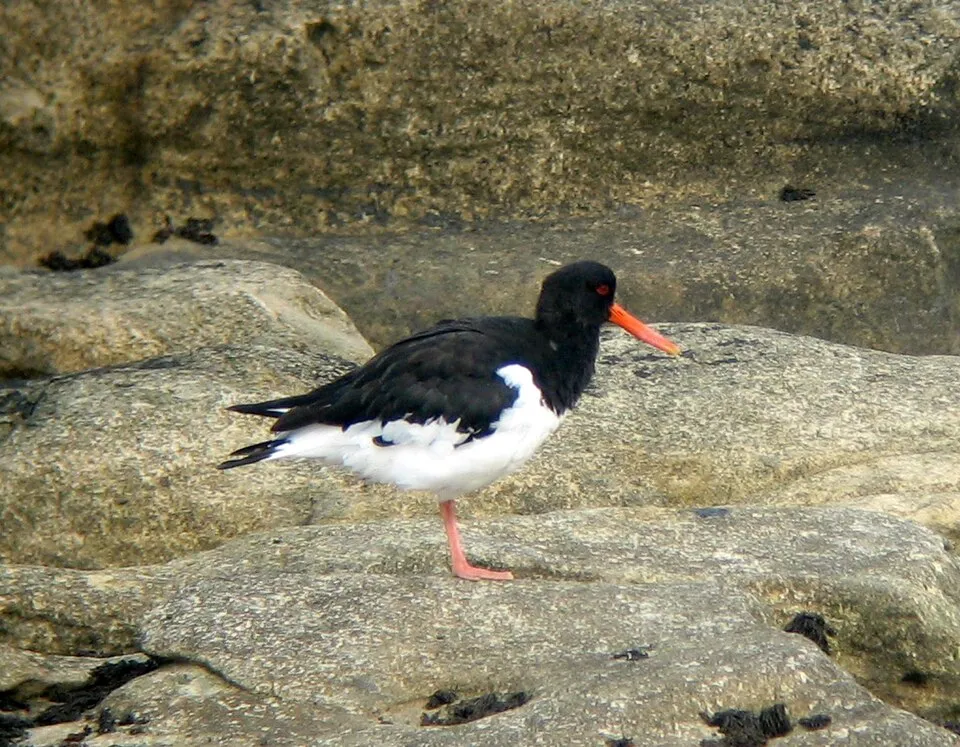
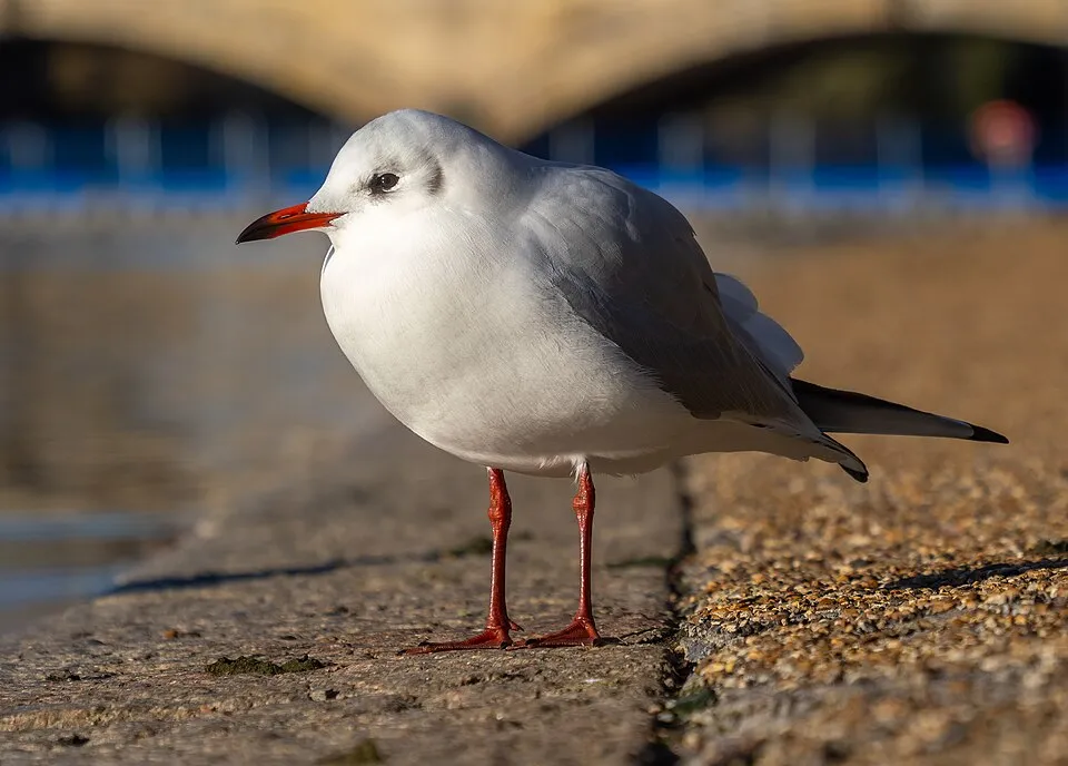
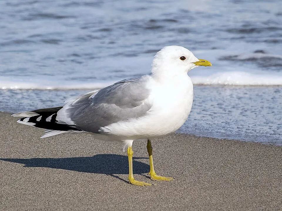
Among the species most often recorded on GBIF are Larus argentatus (European Herring Gull), Tadorna tadorna (Common Shelduck), Haematopus ostralegus (Eurasian Oystercatcher) and Chroicocephalus ridibundus (Black-headed Gull).
What is the official website of Wadden Sea National Park?
© OpenStreetMap
Download the boundary: GeoJSON · GPX Boundary © OpenStreetMap contributors (ODbL).
Geography
Over the 1996–2025 period, the mean annual temperature is about 9.6 °C and total precipitation reaches roughly 956 mm per year. The warmest month is usually August, the coolest January, and the wettest October. According to the European 1:1 million geological map (EGDI), the bedrock consists mainly of sands and gravels (75% of sampled points) and clays and silts (25%). These are mostly sedimentary rocks. The geological units date mainly from the Quaternary (100% of sampled points). The site contains 7 lakes larger than 10 ha, totalling 3.2 km² of water; the largest, Saltvandssøen, covers 1.2 km² (HydroLAKES).
Area
- Area
- 147,000 ha
- Lakes over 10 ha
- 7 (3.2 km²)
- Coordinates
- 55.25, 8.4833
Lakes: HydroLAKES (Messager et al. 2016, hydrosheds.org, CC BY 4.0) · depths: Wikidata (CC0)
Bedrock
- Sands and gravels 75 %
- Clays and silts 25 %
Sedimentary rocks 100 % · Main age: Quaternary (100%)
Source: EGDI 1:1M geological map (EuroGeoSurveys and national geological surveys), CC BY 4.0 · 4 sampled points within the site.
Climate
● Mean temperature (°C) · ▮ Precipitation (mm)
Source: Copernicus ERA5-Land (C3S, doi:10.24381/cds.68d2bb30), monthly averages 1996–2025 interpolated to the representative point, temperatures adjusted for elevation.
Contains modified Copernicus Climate Change Service information 2026. Neither the European Commission nor ECMWF is responsible for any use that may be made of the Copernicus information or data it contains.
Natural habitats
According to CORINE Land Cover (2018), the land area is mainly made up of farmland (29%), grassland and meadows (21%) and salt marshes and salt pans (16%). The sea covers about 77% of the site. The seabed reaches about 9 m deep (median depth 3 m; GEBCO bathymetry). The 10 Natura 2000 sites overlapping the area list 39 habitats of European interest (6 priority), the most extensive being sandbanks which are slightly covered by sea water all the time, mudflats and sandflats not covered by seawater at low tide and large shallow inlets and bays.
Biodiversity
Based on occurrences aggregated by GBIF, several species are regularly recorded within the site. Among the most frequent are Larus argentatus (European Herring Gull), Tadorna tadorna (Common Shelduck), Haematopus ostralegus (Eurasian Oystercatcher) and Chroicocephalus ridibundus (Black-headed Gull). The full list of documented taxa is shown below. The overlapping Natura 2000 sites list 81 species of European interest: 69 birds, 4 mammals, 7 fish and 1 invertebrate.
Habitats of European interest
From the official forms of the 10 Natura 2000 sites overlapping the area (areas reported for each whole site).
- Sandbanks which are slightly covered by sea water all the time 44,812 ha
- Mudflats and sandflats not covered by seawater at low tide 40,243 ha
- Large shallow inlets and bays 23,040 ha
- Perennial vegetation of stony banks 23,040 ha
- Atlantic salt meadows (Glauco-Puccinellietalia maritimae) 7,594 ha
- Decalcified fixed dunes with Empetrum nigrum priority 1,654 ha
- Humid dune slacks 599 ha
- Coastal lagoons priority 472 ha
and 31 more
Species of European interest
Birds · 69
Northern Pintail (Anas acuta) passage breeding, Northern Shoveler (Anas clypeata) passage, Eurasian Teal (Anas crecca) passage, Eurasian Wigeon (Anas penelope) passage, Mallard (Anas platyrhynchos) passage, European White-fronted Goose (Anser albifrons albifrons) passage, Greylag Goose (Anser anser) passage, Pink-footed goose (Anser brachyrhynchus) passage, Taiga bean goose (Anser fabalis), Short-eared Owl (Asio flammeus) breeding passage, Eurasian Bittern (Botaurus stellaris) breeding, Dark-bellied Brant Goose (Branta bernicla bernicla) passage breeding and 57 more
Mammals · 4
Grey Seal (Halichoerus grypus), Eurasian otter (Lutra lutra), Harbour Seal (Phoca vitulina), Harbour porpoise (Phocoena phocoena)
Fish · 7
Twait shad (Alosa fallax), Houting (Coregonus oxyrhynchus), European river lamprey (Lampetra fluviatilis), European brook lamprey (Lampetra planeri), Weatherfish (Misgurnus fossilis), Sea lamprey (Petromyzon marinus), Atlantic salmon (Salmo salar)
Invertebrates · 1
Source: Natura 2000 standard data forms (EEA, CC-BY 4.0). Not exhaustive: sensitive species are not published.
Species to look out for

Observed species
Occurrences documented via GBIF; they are neither an exhaustive inventory nor proof of current presence.
- European Herring Gull · Larus argentatus · 16492
- Common Shelduck · Tadorna tadorna · 13112
- Eurasian Oystercatcher · Haematopus ostralegus · 12299
- Black-headed Gull · Chroicocephalus ridibundus · 12277
- Common Gull · Larus canus · 10294
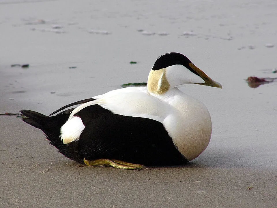
- Common Eider · Somateria mollissima · 9409
- Dunlin · Calidris alpina · 8812
- Mallard · Anas platyrhynchos · 8670
- Eurasian Wigeon · Mareca penelope · 6929
- Great Black-backed Gull · Larus marinus · 6634
- Pygospio worm · Pygospio elegans · 6293
- Baltic Tellin · Macoma balthica · 6287
+18 more species
- Grey Plover · Pluvialis squatarola · 4896
- Common Redshank · Tringa totanus · 4876
- Eurasian Curlew · Numenius arquata · 4745
- Brant Goose · Branta bernicla · 4646
- Scoloplos (Scoloplos) armiger · Scoloplos armiger · 4622
- Bar-tailed Godwit · Limosa lapponica · 4598
- Estuary Ragworm · Hediste diversicolor · 4298
- Tubificoides benedii · 4105
- Capitellid thread worm · Heteromastus filiformis · 3869
- Red fescue · Festuca rubra · 3833
- Harbour Seal · Phoca vitulina · 3771
- Common cockle · Cerastoderma edule · 3741
- Great Cormorant · Phalacrocorax carbo · 3667
- Northern Lapwing · Vanellus vanellus · 3155
- Creeping Bent · Agrostis stolonifera · 3054
- Common shrimp · Crangon crangon · 2996
- Eurasian Teal · Anas crecca · 2875
- Mud shrimp · Corophium volutator · 2843
Records: GBIF.org (CC-BY). Names: Wikidata (CC0), GBIF. Photos: Wikimedia Commons.
Conservation challenges
The primary purpose of the site is to preserve its natural habitats and the biodiversity they support. The species recorded (Biodiversity tab) reflect its ecological value. The designations it holds frame its management and the control of land use.
According to Global Forest Change data (University of Maryland, Global Forest Watch), about 190 ha of tree cover were lost within the boundary between 2001 and 2023 (under 1% of its area), peaking in 2001 and 2019. These losses include logging, storms and fires, and do not account for regrowth. According to the European CORINE Land Cover inventory (Copernicus), land cover changed on about 535 ha of the site between 1990 and 2018 (2% of its area): farmland shrank by 316 ha, mostly giving way to built-up land, while built-up land grew by 252 ha, mostly at the expense of farmland. Since 2016, the European EFFIS system (Copernicus) has mapped one fire here, in March 2022 (near Fanø), which burned about 7 ha of the site. At night, 2% of the area gives off artificial light detectable from space (NASA VIIRS Black Marble composite, 2016): it ranks among the darkest places in the atlas for this country. Built-up and developed land (buildings, business areas, roads, quarries) covers 1% of the area, and farmland 7% (CORINE Land Cover). According to the Natura 2000 forms, of 31 assessed habitats of European interest, 15 are in excellent condition and 8 in average or reduced condition. According to the Water Framework Directive assessment (2022 river basin management plans, data 2008–2020), only 45% of the 81 km of rivers assessed within the site are in good or high ecological potential; the others mostly have bad ecological potential. Other assessed water bodies: lakes, 3 of 11 in good ecological status or better; coastal waters, 0 of 5 in good ecological status or better. Since 2000, 60 invasive alien species have been recorded within the site (GBIF observations), 10 of them listed as of Union concern under EU Regulation 1143/2014. Among them: Alopochen aegyptiaca (Egyptian Goose), Reynoutria japonica (Japanese Knotweed) and Impatiens glandulifera (Himalayan Balsam).
Pressure indicators
Tree cover lost
190 ha
2001–2023 · < 1% of the area
20012023
Fires since 2016
7 ha
burned within the boundary (1 mapped fire)
- 2022 · Fanø · 7 ha
Light at night
2%
of the area gives off artificial light visible from space
DarkLit
Built-up land
1%
buildings, business areas, roads, quarries · farmland 7%
Land cover change
535 ha
changed cover, 1990–2018 · CORINE · 2% of the area
- −316 ha · farmland
- +252 ha · built-up land
Rivers and lakes
45%
of the 81 km of assessed rivers at good or high ecological potential (mostly heavily modified water bodies) · WFD 2022
Lakes: 3 of 11 good or better
Coastal waters: 0 of 5 good or better
assessments 2008–2020
Invasive alien species
60
incl. 10 of EU concern · since 2000
 Egyptian GooseEU
 Japanese KnotweedEU
 Himalayan BalsamEU
 Giant HogweedEU
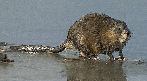 MuskratEU
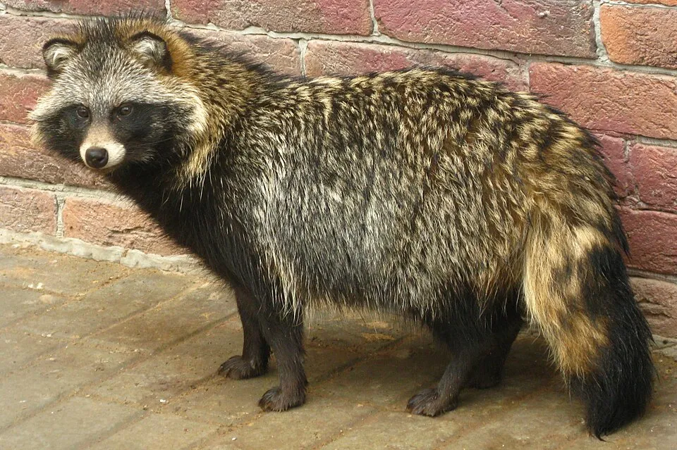 Raccoon DogEU
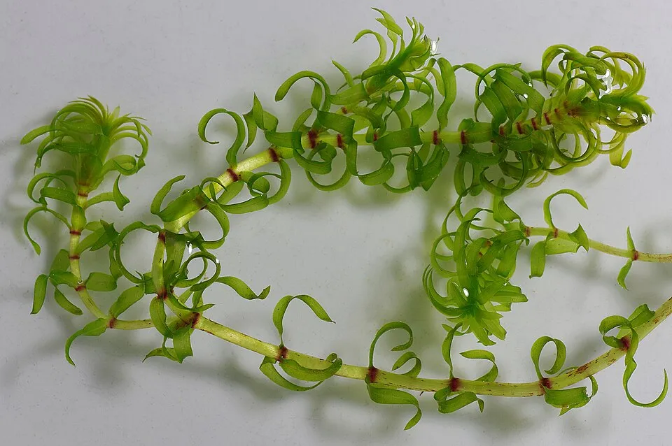 Western waterweedEU
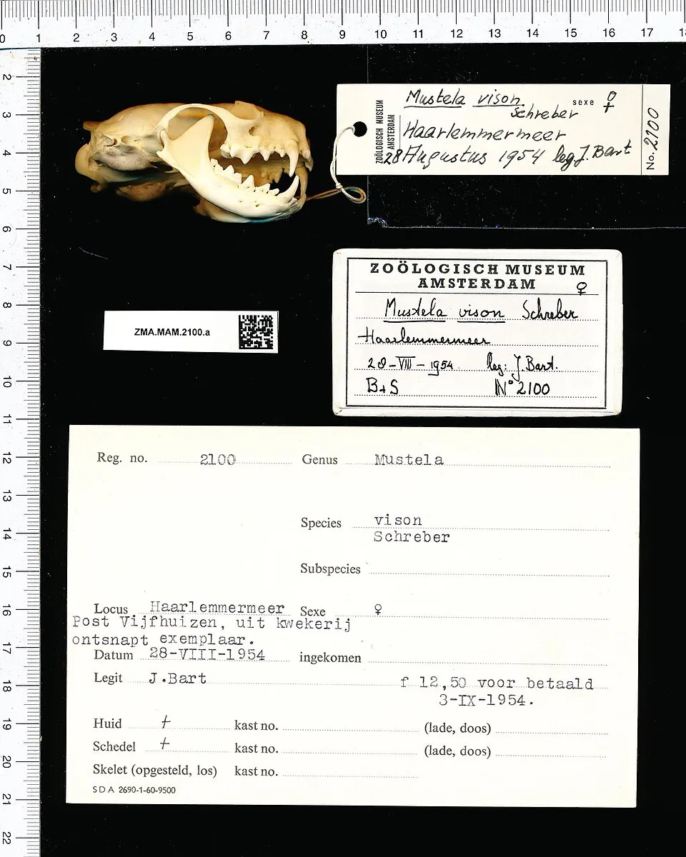 American minkEU
Photos: Egyptian Goose © Rhododendrites · CC BY-SA 4.0; Japanese Knotweed © W.carter · CC0-1.0; Himalayan Balsam © Guptaele · CC BY-SA 4.0; Giant Hogweed © anastasiiamerkulova · CC BY 4.0; Muskrat © David Menke · Public domain; Raccoon Dog © Доктор рукиноги · CC BY-SA 3.0; Western waterweed © Christian Fischer · CC BY-SA 3.0; American mink © Schreber · CC0-1.0
Sources: Global Forest Change (Hansen et al., University of Maryland, via Global Forest Watch, CC-BY 4.0); EFFIS, European Commission / Copernicus; NASA Black Marble 2016 (public domain); CORINE Land Cover 2018 (Copernicus) or MODIS.
CORINE Land Cover Change 1990–2018: generated using European Union's Copernicus Land Monitoring Service information (EEA), aggregated by Parkavela; DOI 10.2909/f30f1000-7cf8-43bb-872c-5eb093911b24.
Ecological status of water bodies: European Environment Agency, WISE – Water Framework Directive, 3rd river basin management plans (2022), CC BY 4.0. Official national classification, not comparable between countries.
Invasive alien species: Global Register of Introduced and Invasive Species (ISSG, CC BY 4.0); Union list, Regulation (EU) 1143/2014 (INBO, CC0); GBIF.org records (CC0 / CC BY 4.0), at least 2 per species.
Practical information
Cities and airport
- Esbjerg
2 km as the crow flies - Flensburg
38 km as the crow flies - Airport: Esbjerg (EBJ)
7 km as the crow flies
Visitor information
- Natur & Kultur formidlingscenter - Myrthuegård
within the site - Madpakkehuset
within the site - Horns Rev Visitor Center
< 1 km from the site boundary - Oasen Rømø
within the site
Parking
156 public car parks listed within the site
sSjelborg StrandRoborg Ladeplads
Hiking
29 waymarked routes listed, including:
Nord Süd Trail, Abschnitt SyltKongeåstienDrivvejenKyst til Kyst StienMarskstienGrænsestien
By bike
EV12 · 33 km GR Grænseruten · 13 km6 Regionalrute 6: Rømø - Hellevad · 9 kmNOR Nord-Ostsee-Radweg · 7 km
+ 9 local loops
Signed cycle routes: this does not mean that cycling is allowed on footpaths.
Wheelchair access
- Nationalpark Vadehavet
visitor information - Rømø Turistbureau
visitor information - Rømø turistkontor
visitor information - Kåveren
viewpoint
accessible toilets: 25
Reported by OpenStreetMap contributors (ODbL); check with the park before visiting.
Data © OpenStreetMap contributors (ODbL) · Wikidata (CC0)
Contains information from EuroVelo GPX tracks downloaded from www.EuroVelo.com on 2026-10-22, which is made available here under the Open Database License (ODbL). EuroVelo® is a registered trademark of the ECF. Routes © OpenStreetMap contributors (ODbL), via Waymarked Trails
Waymarked hiking routes
#3 Sort stisløjfe, Højer, Klæggravene, Vidå
7.9 km within the site ↗ 0 m↘ 0 m -2–2 m
Tracks © OpenStreetMap contributors (ODbL), clipped to the boundary; elevation gain and profiles computed on the longest section from Mapzen Terrain Tiles (≈ 30 m), indicative only.
Bathing
18 monitored bathing sites in or within 1 km of the site · 2025 classification
Excellent · 16
Good · 2
- Blåvand Strand Ved Høfde 1 · sea · Excellent
- Blåvandshuk Fyr Ved P-Plads · sea · Excellent
- Buggyområdet Ml. Badesti 22 Og 23 · sea · Excellent
- Fanø Bad · sea · Excellent
- Gl. Guldagervej · sea · Excellent
- Hjerting Strandpark · sea · Excellent
- Hvidbjerg Strand Ved Grønningen (~høfde 7 Og 8) · sea · Excellent
- Hvidbjerg Strand, Ved Campingplads · sea · Excellent
- Kystparken · sea · Excellent
- Kystsanatoriet · sea · Excellent
and 8 more
Source: European Environment Agency, official bathing water classification (Directive 2006/7/EC, CC-BY 4.0). Swimming is only permitted at the sites and times authorised locally.
Access and visiting
The nearest railway station is Varde, less than 1 km from the site boundary. Nearest towns of over 50,000 people, as the crow flies: Esbjerg (2 km) and Flensburg (38 km). Nearest airport: Esbjerg (EBJ), about 7 km away. About 260,000 people live within 20 km of the site boundary, 170,000 of them within 10 km; some 7,900 people are estimated to live inside (GHSL estimate, 2020). Visitor information on site: Natur & Kultur formidlingscenter - Myrthuegård, Madpakkehuset and Horns Rev Visitor Center. Public car parks listed within the site: 156, including s, Sjelborg Strand and Roborg Ladeplads. Waymarked hiking routes listed in OpenStreetMap: 29, including Nord Süd Trail, Abschnitt Sylt, Kongeåstien, Drivvejen and Kyst til Kyst Stien. The EuroVelo 12 cycle route (North Sea Cycle Route) crosses the site for about 33 km, mostly developed and signed; 3 other signed cycle routes also pass through, including “GR Grænseruten” and “6 Regionalrute 6: Rømø - Hellevad” (EuroVelo, OpenStreetMap). OpenStreetMap contributors list 4 wheelchair-accessible places, including Nationalpark Vadehavet and Rømø Turistbureau; check with the park before visiting. To see: Sneum Digesø (lake or pond). To plan a visit (access, opening periods, visitor rules), it is best to consult the official information from the managing body and the official website listed in this page's sources.
Source: OpenStreetMap (ODbL), Wikidata (CC0), October 2026.
Built heritage
According to Wikidata, 4 monuments entered in the Danish register of listed buildings (fredede bygninger) stand within the boundary. Examples include “Rømø Lifeboat Station” in Tønder, “Toftum School” in Tønder and “Kommandørgården” in Tønder.
3 houses and civic buildings1 castle or fortification
-
Rømø Lifeboat Station
Tønder · 19th c. -
Toftum School
Tønder · 18th c. -
Kommandørgården
Tønder · 18th c. -
Mandøhuset
Esbjerg · 19th c.
Source: Wikidata (CC0), monuments in each country’s official heritage protection registers, at national or regional level. Each item links to its Wikidata entry.
When to visit
Best time to visit: from May to September, with average temperatures of 11 to 18 °C and moderate rainfall. Day length ranges from about 7 h 09 min in December to 17 h 24 min in June. Wildlife records published on GBIF peak for birds (April and May), plants (July and August), butterflies and moths (August and September), dragonflies (August) and mammals (April and May). These peaks also reflect when observers are most active.
Source: Copernicus ERA5-Land (C3S), monthly averages 1996–2025 at the representative point, temperatures adjusted for elevation.
Contains modified Copernicus Climate Change Service information 2026. Neither the European Commission nor ECMWF is responsible for any use that may be made of the Copernicus information or data it contains.
Wildlife records calendar
JFMAMJJASOND
Birds
Plants
Butterflies & moths
Dragonflies
Mammals
Monthly records published on GBIF (CC-BY), relative to the busiest month; also reflects observer activity.
Gallery
© Malene Thyssen · CC BY-SA 3.0
© Hjart · CC BY-SA 4.0
© JEK · CC BY-SA 3.0
© FrDr · CC BY-SA 4.0
© Hjart · CC BY-SA 4.0
© Chell Hill · CC BY-SA 3.0
Sources and licences
- Wikidata: Q3351830
- OpenStreetMap: relation 14045506
- Official website: https://nationalparkvadehavet.dk/
- Wikipedia: en.wikipedia.org/wiki/Wadden_Sea_National_Park,_Denmark
- WDPA: 390556
References
- cds.climate.copernicus.eu: climate · CC-BY-4.0
- registry.opendata.aws: elevation of the reference point, detailed relief · PD
- land.copernicus.eu: land cover, land cover change, sea share · COPERNICUS
- doi.org: population around the site · CC-BY-4.0
- wikidata.org: official area, establishment date, protected heritage, nearby cities and airport, access and peaks, lake depths, places to see, official website · CC0-1.0
- eea.europa.eu: bathing water quality, ecological status of waters · CC-BY-4.0
- en.eurovelo.com: EuroVelo cycle routes · ODbL-1.0
- cycling.waymarkedtrails.org: cycle routes · ODbL-1.0
- gebco.net: depths · PD
- opentopodata.org: elevations · PD
- forest-fire.emergency.copernicus.eu: wildfires · COPERNICUS
- globalforestwatch.org: tree cover loss · CC-BY-4.0
- gbif.org: seasonality of sightings, invasive alien species, observed species · CC-BY-4.0
- europe-geology.eu: geology · CC-BY-4.0
- hydrosheds.org: lakes · CC-BY-4.0
- natura2000.eea.europa.eu: Natura 2000 habitats and species · CC-BY-4.0
- openstreetmap.org: official name, access and peaks, trail difficulty, wheelchair access · ODbL-1.0
- earthobservatory.nasa.gov: night light · PD
- hiking.waymarkedtrails.org: route difficulty · ODbL-1.0
- nsidc.org: snow cover · PD
- wikidata.org: Wikipedia article · CC-BY-SA-4.0
Data © OpenStreetMap contributors (ODbL), Wikidata (CC0) and the sources cited.