
Morocco · Terrestrial
Souss-Massa National Park
National park of 34,000 hectares in Morocco, established in 1991.
Overview
National park of 34,000 hectares in Morocco, established in 1991.
Souss-Massa National Park is located in Morocco (Africa). It is a predominantly terrestrial area. Established in 1991, it covers about 34,000 hectares.
Protections and designations
Ramsar site
Protected as a national park. International labels and designations: Ramsar site.
In our collections
Frequently asked questions
Where is Souss-Massa National Park?
In Morocco (Africa). Representative point: 30.0677° N, 9.6673° W.
How large is Souss-Massa National Park?
About 34,000 hectares (340 km²). It is the 9th largest of the 10 national parks in Morocco covered by Parkavela.
When was Souss-Massa National Park established?
In 1991.
What habitats and landscapes does Souss-Massa National Park include?
A terrestrial area, where land cover is dominated by heath and scrub (59%).
Which international labels apply to Souss-Massa National Park?
Ramsar site.
When is the best time to visit Souss-Massa National Park?
The climate suits visits all year round.
What is the nearest large city to Souss-Massa National Park?
Nearest towns of over 50,000 people, as the crow flies: Ait Melloul (3 km) and Agadir (6 km). Nearest airport: Agadir–Al Massira (AGA), about 10 km away.
Which species can be seen in Souss-Massa National Park?
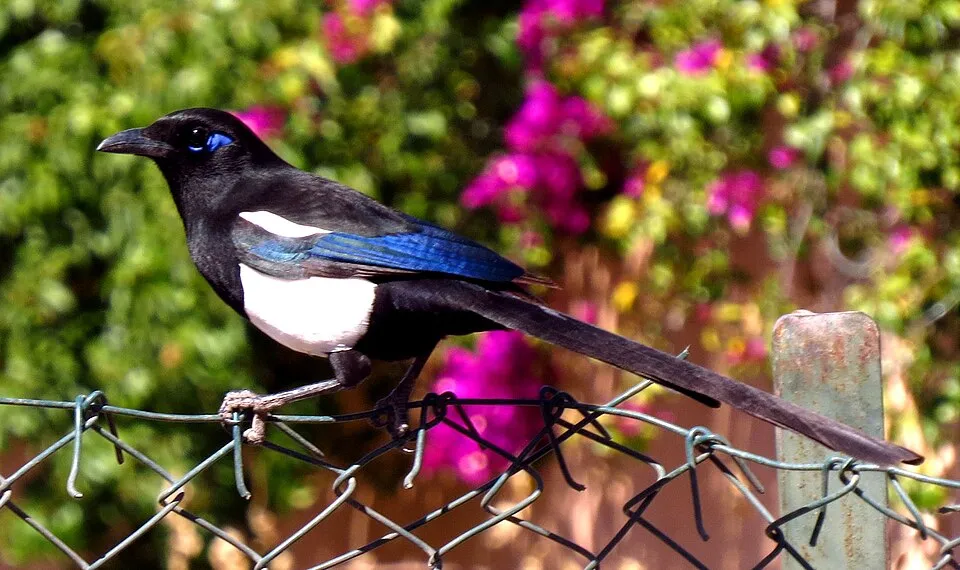
Among the species most often recorded on GBIF are Larus fuscus (Lesser Black-backed Gull), Phalacrocorax carbo (Great Cormorant), Ardea cinerea (Grey Heron) and Pica mauritanica (Maghreb Magpie).
© OpenStreetMap
Download the boundary: GeoJSON · GPX Boundary © OpenStreetMap contributors (ODbL).
Geography
The representative point of the site lies at around 10 m above sea level. Over the 1996–2025 period, the mean annual temperature is about 19.4 °C and total precipitation reaches roughly 222 mm per year. The warmest month is usually August, the coolest January, and the wettest December.
Area
- Area
- 34,000 ha
- Elevation
- 10 m
- Median elevation
- 83 m
- Coordinates
- 30.0677, -9.6673
Terrain: Mapzen Terrain Tiles (SRTM, USGS)
Climate
● Mean temperature (°C) · ▮ Precipitation (mm)
Source: Copernicus ERA5-Land (C3S, doi:10.24381/cds.68d2bb30), monthly averages 1996–2025 interpolated to the representative point, temperatures adjusted for elevation.
Contains modified Copernicus Climate Change Service information 2026. Neither the European Commission nor ECMWF is responsible for any use that may be made of the Copernicus information or data it contains.
Natural habitats
According to the global MODIS land cover (NASA, 2024), the site is mainly made up of heath and scrub (59%), bare rock and scree (24%) and grassland and meadows (15%). Elevation ranges from sea level to about 150 m (sampled elevations, SRTM).
Biodiversity
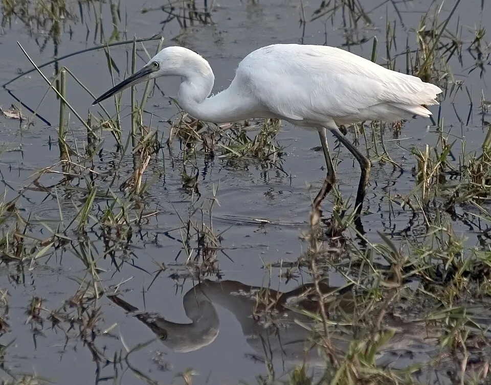
Based on occurrences aggregated by GBIF, several species are regularly recorded within the site. Among the most frequent are Larus fuscus (Lesser Black-backed Gull), Phalacrocorax carbo (Great Cormorant), Ardea cinerea (Grey Heron) and Pica mauritanica (Maghreb Magpie). The full list of documented taxa is shown below.
Species to look out for
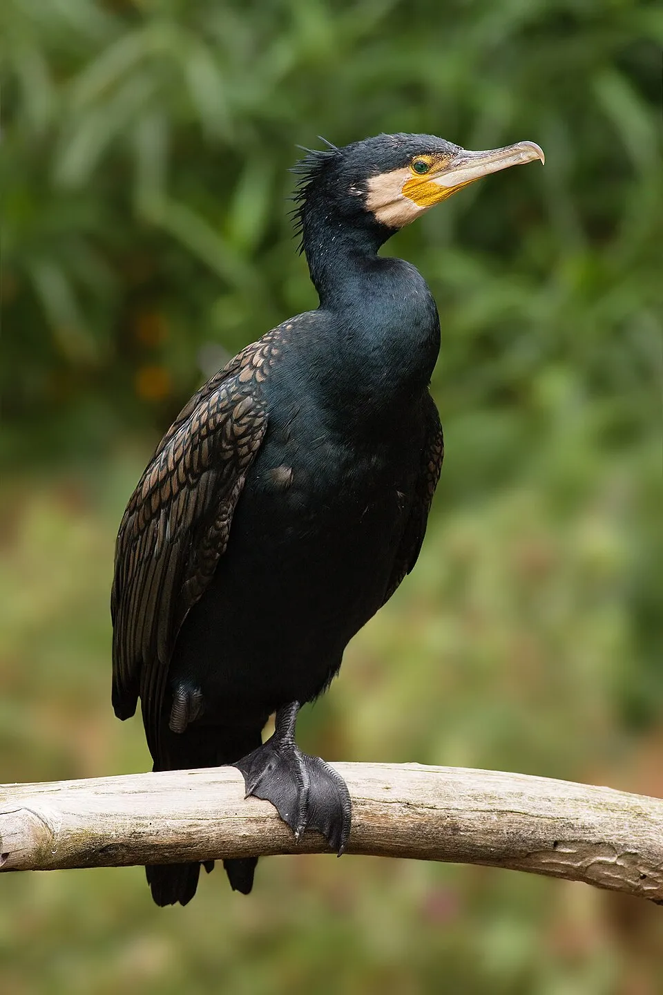
Bird
Great Cormorant
Phalacrocorax carbo1,666 records © JJ Harrison (https://www.jjharrison.com.au/) · CC BY-SA 3.0


Observed species
Occurrences documented via GBIF; they are neither an exhaustive inventory nor proof of current presence.
- Lesser Black-backed Gull · Larus fuscus · 2677
- Great Cormorant · Phalacrocorax carbo · 1666
- Grey Heron · Ardea cinerea · 1541
- Maghreb Magpie · Pica mauritanica · 1520
- Little Egret · Egretta garzetta · 1510
- Yellow-legged Gull · Larus michahellis · 1479
- Sardinian Warbler · Curruca melanocephala · 1444
- Greater Flamingo · Phoenicopterus roseus · 1426
- Eurasian Spoonbill · Platalea leucorodia · 1414
- Barn Swallow · Hirundo rustica · 1406
- Common Bulbul · Pycnonotus barbatus · 1348
- Black-winged Stilt · Himantopus himantopus · 1281
+18 more species
- Moussier's Redstart · Phoenicurus moussieri · 1234
- Common Kestrel · Falco tinnunculus · 1212
- Common Greenshank · Tringa nebularia · 1169
- Common Sandpiper · Actitis hypoleucos · 1122
- Common Redshank · Tringa totanus · 1110
- European Stonechat · Saxicola rubicola · 1076
- Zitting Cisticola · Cisticola juncidis · 1074
- Sandwich Tern · Thalasseus sandvicensis · 1050
- House Sparrow · Passer domesticus · 1032
- European Serin · Serinus serinus · 998
- Common Blackbird · Turdus merula · 993
- Common Ringed Plover · Charadrius hiaticula · 982
- Black-headed Gull · Chroicocephalus ridibundus · 950
- Spotless Starling · Sturnus unicolor · 943
- Eurasian Collared Dove · Streptopelia decaocto · 911
- Osprey · Pandion haliaetus · 883
- Dunlin · Calidris alpina · 857
- Crested Lark · Galerida cristata · 857
Records: GBIF.org (CC-BY). Names: Wikidata (CC0), GBIF. Photos: Wikimedia Commons.
Conservation challenges
The primary purpose of the site is to preserve its natural habitats and the biodiversity they support. The species recorded (Biodiversity tab) reflect its ecological value. The designations it holds frame its management and the control of land use.
At night, 13% of the area gives off artificial light detectable from space (NASA VIIRS Black Marble composite, 2016). Built-up and developed land (buildings, business areas, roads, quarries) covers 1% of the area (MODIS).
Pressure indicators
Light at night
13%
of the area gives off artificial light visible from space
DarkLit
Built-up land
1%
buildings, business areas, roads, quarries
Invasive alien species
1
recorded since 2000
Sources: Global Forest Change (Hansen et al., University of Maryland, via Global Forest Watch, CC-BY 4.0); EFFIS, European Commission / Copernicus; NASA Black Marble 2016 (public domain); CORINE Land Cover 2018 (Copernicus) or MODIS.
Invasive alien species: Global Register of Introduced and Invasive Species (ISSG, CC BY 4.0); Union list, Regulation (EU) 1143/2014 (INBO, CC0); GBIF.org records (CC0 / CC BY 4.0), at least 2 per species.
Practical information
Cities and airport
- Ait Melloul
3 km as the crow flies - Agadir
6 km as the crow flies - Airport: Agadir–Al Massira (AGA)
10 km as the crow flies
Parking
11 public car parks listed within the site
Data © OpenStreetMap contributors (ODbL) · Wikidata (CC0)
Access and visiting
Nearest towns of over 50,000 people, as the crow flies: Ait Melloul (3 km) and Agadir (6 km). Nearest airport: Agadir–Al Massira (AGA), about 10 km away. About 1.7 million people live within 20 km of the site boundary, 1.3 million of them within 10 km; some 8,200 people are estimated to live inside (GHSL estimate, 2020). This population has grown by about 50% since 2000. Public car parks listed within the site: 11. To plan a visit (access, opening periods, visitor rules), it is best to consult the official information from the managing body and the official website listed in this page's sources.
Source: OpenStreetMap (ODbL), Wikidata (CC0), November 2026.
When to visit
The climate suits visits all year round. Day length ranges from about 10 h 13 min in December to 14 h 04 min in June. Wildlife records published on GBIF peak for birds (March and April), plants (February and March), butterflies and moths (February and March) and mammals (March). These peaks also reflect when observers are most active.
Source: Copernicus ERA5-Land (C3S), monthly averages 1996–2025 at the representative point, temperatures adjusted for elevation.
Contains modified Copernicus Climate Change Service information 2026. Neither the European Commission nor ECMWF is responsible for any use that may be made of the Copernicus information or data it contains.
Wildlife records calendar
JFMAMJJASOND
Birds
Plants
Butterflies & moths
Mammals
Monthly records published on GBIF (CC-BY), relative to the busiest month; also reflects observer activity.
Gallery
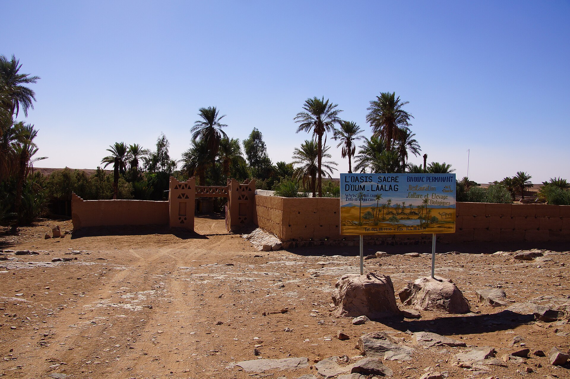
© Timothy A. Gonsalves · CC BY-SA 4.0
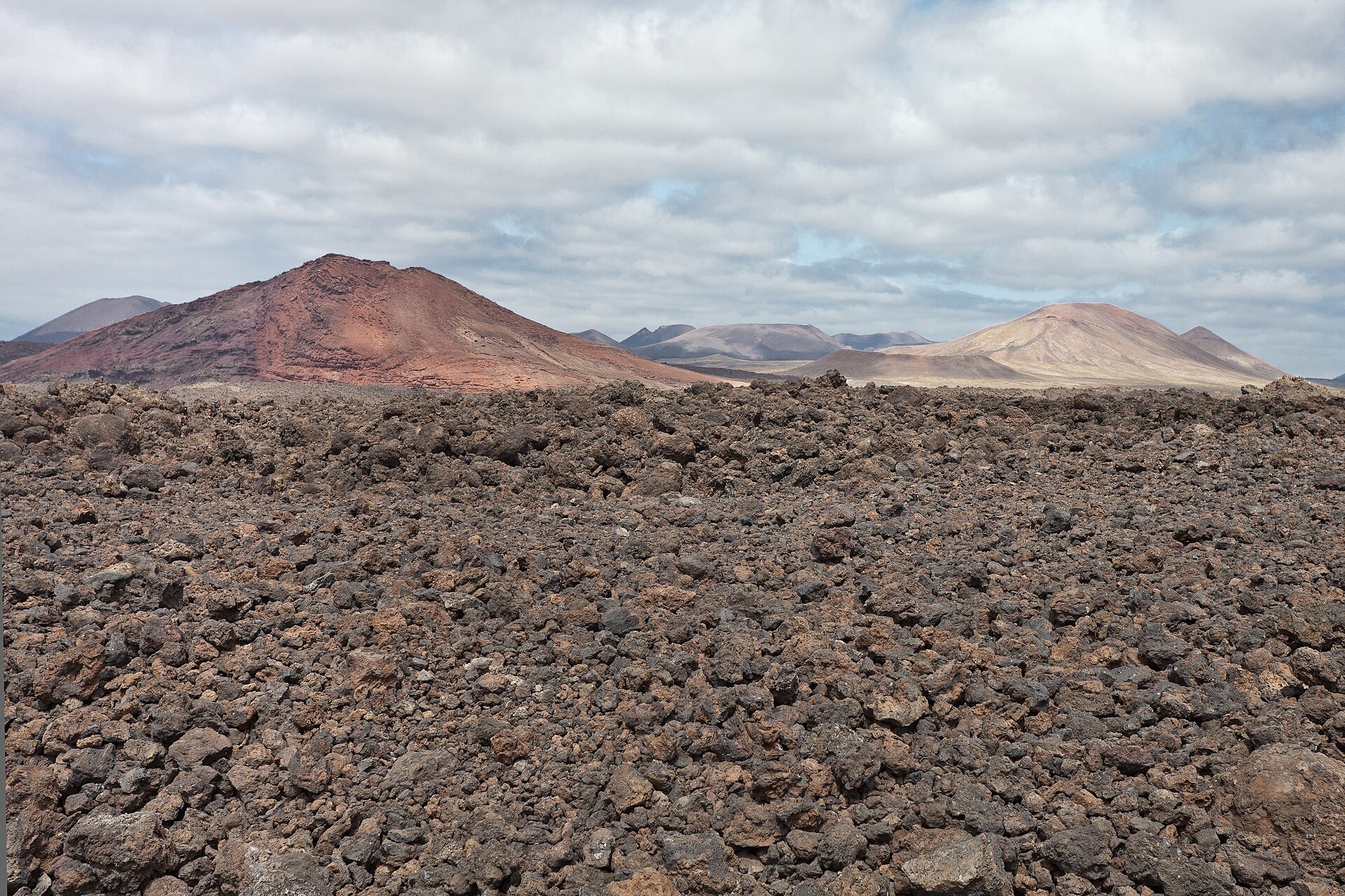
© Timothy A. Gonsalves · CC BY-SA 4.0
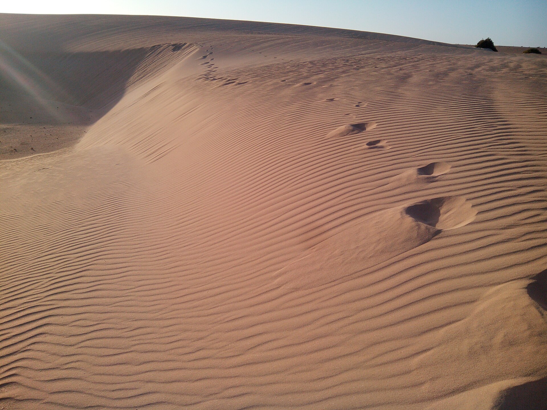
© Kokopelado · CC BY-SA 3.0
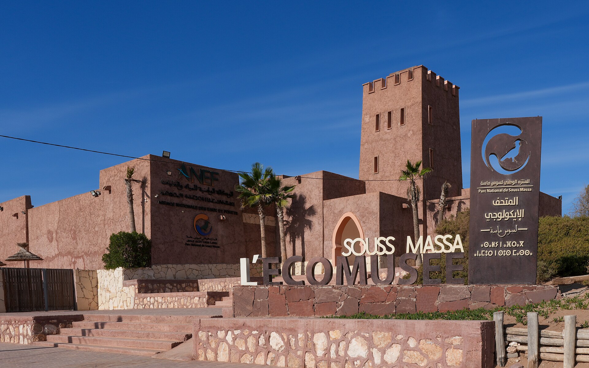
© رشيدة رقي · CC BY-SA 4.0
© رشيدة رقي · CC BY-SA 4.0
© Christian Pirkl · CC BY-SA 4.0
Sources and licences
- Wikidata: Q784621
- Wikipedia: en.wikipedia.org/wiki/Souss-Massa_National_Park
- WDPA: 11697
References
- cds.climate.copernicus.eu: climate · CC-BY-4.0
- registry.opendata.aws: elevation of the reference point, detailed relief · PD
- lpdaac.usgs.gov: land cover · PD
- doi.org: population around the site · CC-BY-4.0
- naturalearthdata.com: sea share · PD
- wikidata.org: official area, establishment date, nearby cities and airport, access and peaks, lake depths, places to see · CC0-1.0
- en.eurovelo.com: EuroVelo cycle routes · ODbL-1.0
- cycling.waymarkedtrails.org: cycle routes · ODbL-1.0
- opentopodata.org: elevations · PD
- globalforestwatch.org: tree cover loss · CC-BY-4.0
- gbif.org: seasonality of sightings, invasive alien species, observed species · CC-BY-4.0
- hydrosheds.org: lakes · CC-BY-4.0
- openstreetmap.org: official name, access and peaks · ODbL-1.0
- earthobservatory.nasa.gov: night light · PD
- nsidc.org: snow cover · PD
- wikidata.org: Wikipedia article · CC-BY-SA-4.0
Data © OpenStreetMap contributors (ODbL), Wikidata (CC0) and the sources cited.