Slovakia · Terrestrial
Latorica Protected Landscape Area
Protected landscape area of 23,198 hectares in Slovakia, established in 1990.
Overview
Protected landscape area of 23,198 hectares in Slovakia, established in 1990.
Latorica Protected Landscape Area is located in Slovakia (Europe). It is a predominantly terrestrial area. Established in 1990, it covers about 23,198 hectares.
Protections and designations
Ramsar site
Natura 2000 · habitats (SAC) · 11 sites
- Bodrog SKUEV0236
- Boršiansky les SKUEV0034
- Čičarovský les SKUEV0007
- Dolný tok Laborca SKUEV0844
- Dolný tok Ondavy SKUEV0843
- Kováčske lúky SKUEV0329
- and 5 more
Natura 2000 · birds (SPA)
- Medzibodrožie SKCHVU015
Designated as a protected landscape area. International labels and designations: Ramsar site (“Latorica”) and Natura 2000 network (12 sites). Key dates: established in 1990, Ramsar Site in 1993, first Natura 2000 site under the Birds Directive in 2004 and first Natura 2000 site under the Habitats Directive in 2004.
In our collections
Timeline
-
1990
Established
-
1993
Ramsar Site (wetland of international importance) Latorica
-
2004
First Natura 2000 site under the Birds Directive
-
2004
First Natura 2000 site under the Habitats Directive 9 such sites designated up to 2011
Sources: Wikidata (CC0) for establishment and international labels; EEA Natura 2000 database (CC-BY 4.0) for site designation dates.
Frequently asked questions
Where is Latorica Protected Landscape Area?
In Slovakia (Europe). Representative point: 48.5000° N, 21.9167° E.
How large is Latorica Protected Landscape Area?
About 23,198 hectares (232 km²). It is the 10th largest of the 14 protected landscape areas in Slovakia covered by Parkavela.
When was Latorica Protected Landscape Area established?
In 1990.
What habitats and landscapes does Latorica Protected Landscape Area include?
A terrestrial area, where land cover is dominated by farmland (52%).
What rocks lie beneath Latorica Protected Landscape Area?
According to the European 1:1 million geological map (EGDI), the bedrock consists mainly of clays and silts (50% of sampled points) and sands and gravels (31%). These are mostly sedimentary rocks. The geological units date mainly from the Neogene (56% of sampled points).
What is the highest point of Latorica Protected Landscape Area?
Šimonov vrch, at 331 m (OpenStreetMap).
What are the main summits of Latorica Protected Landscape Area?
Šimonov vrch (331 m), Tarbucka (278 m), Pleš (278 m), Borsuk (267 m) and Brezinka (227 m) (OpenStreetMap).
Which international labels apply to Latorica Protected Landscape Area?
Ramsar site (“Latorica”) and Natura 2000 network (12 sites).
When is the best time to visit Latorica Protected Landscape Area?
Best time to visit: from August to October, with average temperatures of 10 to 22 °C and moderate rainfall.
Are there historic monuments in Latorica Protected Landscape Area?
Yes. According to Wikidata, 6 monuments listed in the Slovak register of national cultural monuments stand within the boundary. For example: “Chrám Narodenia Presvätej Bohorodičky” in Poľany, “Kostol Najsvätejšej Trojice” in Rad and “Church of St. Nicholas” in Boľ.
What is the nearest large city to Latorica Protected Landscape Area?
Nearest towns of over 50,000 people, as the crow flies: Uzhhorod (19 km) and Mukachevo (42 km). Nearest airport: Košice (KSC), about 40 km away.
How can I reach Latorica Protected Landscape Area by train?
The nearest railway station is Čierna nad Tisou št. hr, less than 1 km from the site boundary.
Where can I get visitor information on site?
Kultúrno Informačné centrum and Tokajska vinna cesta.
Are there waymarked hiking trails in Latorica Protected Landscape Area?
Yes. Waymarked hiking routes listed in OpenStreetMap: 11, including E 3, E 4, Internationaler Bergwanderweg Eisenach and K, AKT (Sátoraljaújhely, vá. The “Via Slovakia (Kechnec - Kráľovský Chlmec)” route runs for about 8 km through the site.
Which species can be seen in Latorica Protected Landscape Area?
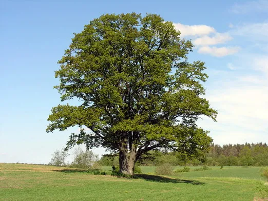
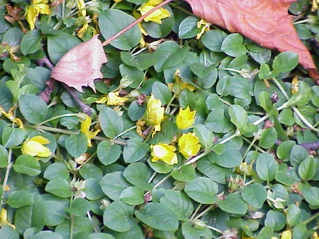
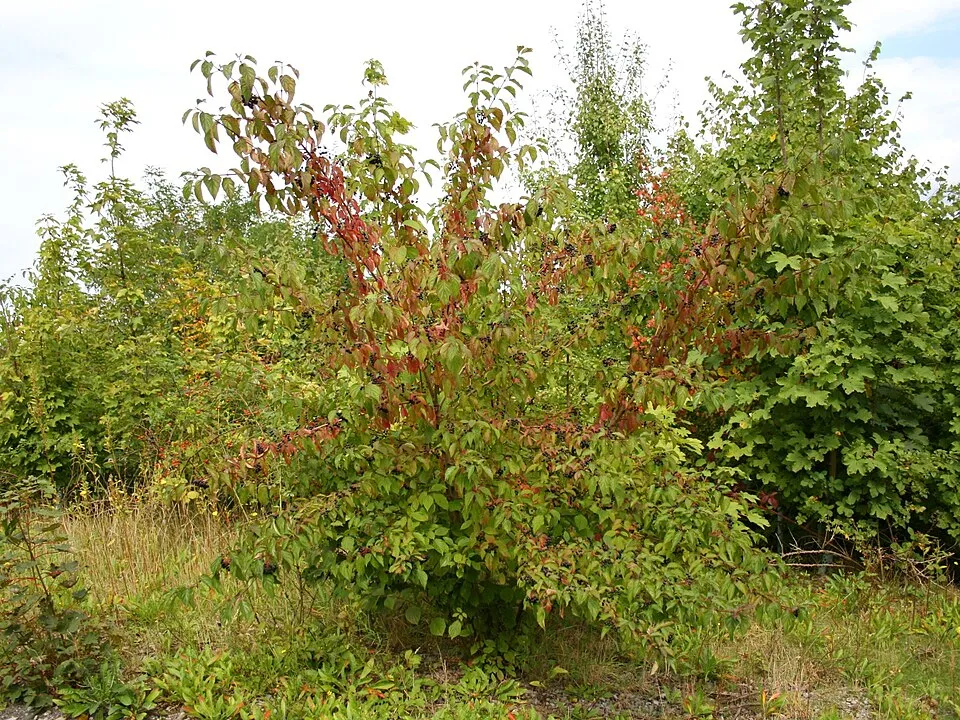
Among the species most often recorded on GBIF are Quercus robur (Pedunculate Oak), Lysimachia nummularia (Creeping-Jenny), Cornus sanguinea (Dogwood) and Acer campestre (Field Maple).
What is the official website of Latorica Protected Landscape Area?
© OpenStreetMap
Download the boundary: GeoJSON · GPX Boundary © OpenStreetMap contributors (ODbL).
Geography
The representative point of the site lies at around 106 m above sea level. Over the 1996–2025 period, the mean annual temperature is about 10.8 °C and total precipitation reaches roughly 750 mm per year. The warmest month is usually July, the coolest January, and the wettest July. According to the European 1:1 million geological map (EGDI), the bedrock consists mainly of clays and silts (50% of sampled points) and sands and gravels (31%). These are mostly sedimentary rocks. The geological units date mainly from the Neogene (56% of sampled points).
Area
- Area
- 23,198 ha
- Elevation
- 106 m
- Coordinates
- 48.5, 21.9167
Bedrock
- Clays and silts 50 %
- Sands and gravels 31 %
- Mudstones 6 %
- Sandstones 6 %
- Conglomerates and breccias 6 %
Sedimentary rocks 100 % · Main age: Neogene (56%)
Source: EGDI 1:1M geological map (EuroGeoSurveys and national geological surveys), CC BY 4.0 · 16 sampled points within the site.
Main summits
- Šimonov vrch331 m
- Tarbucka278 m
- Pleš278 m
- Borsuk267 m
- Brezinka227 m
- Šomoš216 m
- Roháč162 m
- Capí kopec149 m
- Húšťava113 m
Data © OpenStreetMap contributors (ODbL)
Climate
● Mean temperature (°C) · ▮ Precipitation (mm)
Source: Copernicus ERA5-Land (C3S, doi:10.24381/cds.68d2bb30), monthly averages 1996–2025 interpolated to the representative point, temperatures adjusted for elevation.
Contains modified Copernicus Climate Change Service information 2026. Neither the European Commission nor ECMWF is responsible for any use that may be made of the Copernicus information or data it contains.
Snow cover measured by satellite
J
F
M
A
M
J
J
A
S
O
N
D
average share of the site under snow · snowiest parts · ≈ 25 days a year
Snow cover: MODIS/Terra MOD10CM v61 (Hall & Riggs, 2021, NASA NSIDC DAAC, doi:10.5067/MODIS/MOD10CM.061), imagery from NASA GIBS (ESDIS); 2015–2025 average, grid of about 5 km.
Natural habitats
According to CORINE Land Cover (2018), the site is mainly made up of farmland (52%), forests (25%) and grassland and meadows (16%). Woodland is mostly broadleaved. Elevation ranges from about 90 m to 331 m (highest point: Šimonov vrch). The 12 Natura 2000 sites overlapping the area list 15 habitats of European interest (6 priority), the most extensive being riparian mixed forests of Quercus robur, Ulmus laevis and Ulmus minor, Fraxinus excelsior or Fraxinus angustifolia, along the great rivers (Ulmenion minoris), alluvial meadows of river valleys of the Cnidion dubii and alluvial forests with Alnus glutinosa and Fraxinus excelsior (Alno-Padion, Alnion incanae, Salicion albae).
Biodiversity
Based on occurrences aggregated by GBIF, several species are regularly recorded within the site. Among the most frequent are Quercus robur (Pedunculate Oak), Lysimachia nummularia (Creeping-Jenny), Cornus sanguinea (Dogwood) and Acer campestre (Field Maple). The full list of documented taxa is shown below. The overlapping Natura 2000 sites list 137 species of European interest: 96 birds, 4 mammals, 1 reptile, 3 amphibians, 15 fish, 13 invertebrates and 5 plants.
Habitats of European interest
From the official forms of the 12 Natura 2000 sites overlapping the area (areas reported for each whole site).
- Riparian mixed forests of Quercus robur, Ulmus laevis and Ulmus minor, Fraxinus excelsior or Fraxinus angustifolia, along the great rivers (Ulmenion minoris) 1,322 ha
- Alluvial meadows of river valleys of the Cnidion dubii 457 ha
- Alluvial forests with Alnus glutinosa and Fraxinus excelsior (Alno-Padion, Alnion incanae, Salicion albae) priority 417 ha
- Pannonic woods with Quercus petraea and Carpinus betulus priority 234 ha
- Semi-natural dry grasslands and scrubland facies on calcareous substrates (Festuco-Brometalia) (* important orchid sites) 173 ha
- Natural eutrophic lakes with Magnopotamion or Hydrocharition-type vegetation 122 ha
- Sub-Pannonic steppic grasslands priority 100 ha
- Pannonic sand steppes priority 90 ha
and 7 more
Species of European interest
Birds · 96
Great Reed Warbler (Acrocephalus arundinaceus), Sedge warbler (Acrocephalus schoenobaenus), Eurasian Reed Warbler (Acrocephalus scirpaceus), Long-tailed Tit (Aegithalos caudatus), Common Kingfisher (Alcedo atthis) resident breeding, Northern Pintail (Anas acuta), Northern Shoveler (Anas clypeata), Eurasian Teal (Anas crecca), Eurasian Wigeon (Anas penelope), Tawny Pipit (Anthus campestris) breeding, Great Egret (Ardea alba) breeding, Grey Heron (Ardea cinerea) and 84 more
Mammals · 4
Eurasian otter (Lutra lutra), Pond bat (Myotis dasycneme), Geoffroy's bat (Myotis emarginatus), European ground squirrel (Spermophilus citellus)
Reptiles · 1
European Pond Turtle (Emys orbicularis)
Amphibians · 3
European fire-bellied toad (Bombina bombina), Great crested newt (Triturus cristatus), Danube Crested Newt (Triturus dobrogicus)
Fish · 15
Asp (Aspius aspius), Spined loach (Cobitis taenia), White-finned gudgeon (Gobio albipinnatus), Balon's ruffe (Gymnocephalus baloni), Striped Ruffe (Gymnocephalus schraetzer), Weatherfish (Misgurnus fossilis), Ziege (Pelecus cultratus), Rhodeus sericeus amarus, Kessler's Gudgeon (Romanogobio kesslerii), Danube Gudgeon (Romanogobio uranoscopus), Danube Whitefin Gudgeon (Romanogobio vladykovi), Cactus Roach (Rutilus virgo) and 3 more
Invertebrates · 13
Lesser Ramshorn Snail (Anisus vorticulus), Greater Capricorn Beetle (Cerambyx cerdo), Cucujus cinnaberinus, Stys' Plump Bush-cricket (Isophya stysi), Fenton's Wood White (Leptidea morsei), Yellow-spotted Whiteface (Leucorrhinia pectoralis), Stag beetle (Lucanus cervus), Large copper (Lycaena dispar), Scarce large blue (Maculinea teleius), Green snaketail (Ophiogomphus cecilia), Hermit beetle (Osmoderma eremita), Thick shelled river mussel (Unio crassus) and 1 more
Plants · 5
Cirsium brachycephalum, Iris aphylla subsp. hungarica, Water Shamrock (Marsilea quadrifolia), Greater Pasque Flower (Pulsatilla grandis), Pulsatilla pratensis subsp. hungarica
Source: Natura 2000 standard data forms (EEA, CC-BY 4.0). Not exhaustive: sensitive species are not published.
Species to look out for

Observed species
Occurrences documented via GBIF; they are neither an exhaustive inventory nor proof of current presence.
- Pedunculate Oak · Quercus robur · 168
- Creeping-Jenny · Lysimachia nummularia · 168
- Dogwood · Cornus sanguinea · 166
- Field Maple · Acer campestre · 154
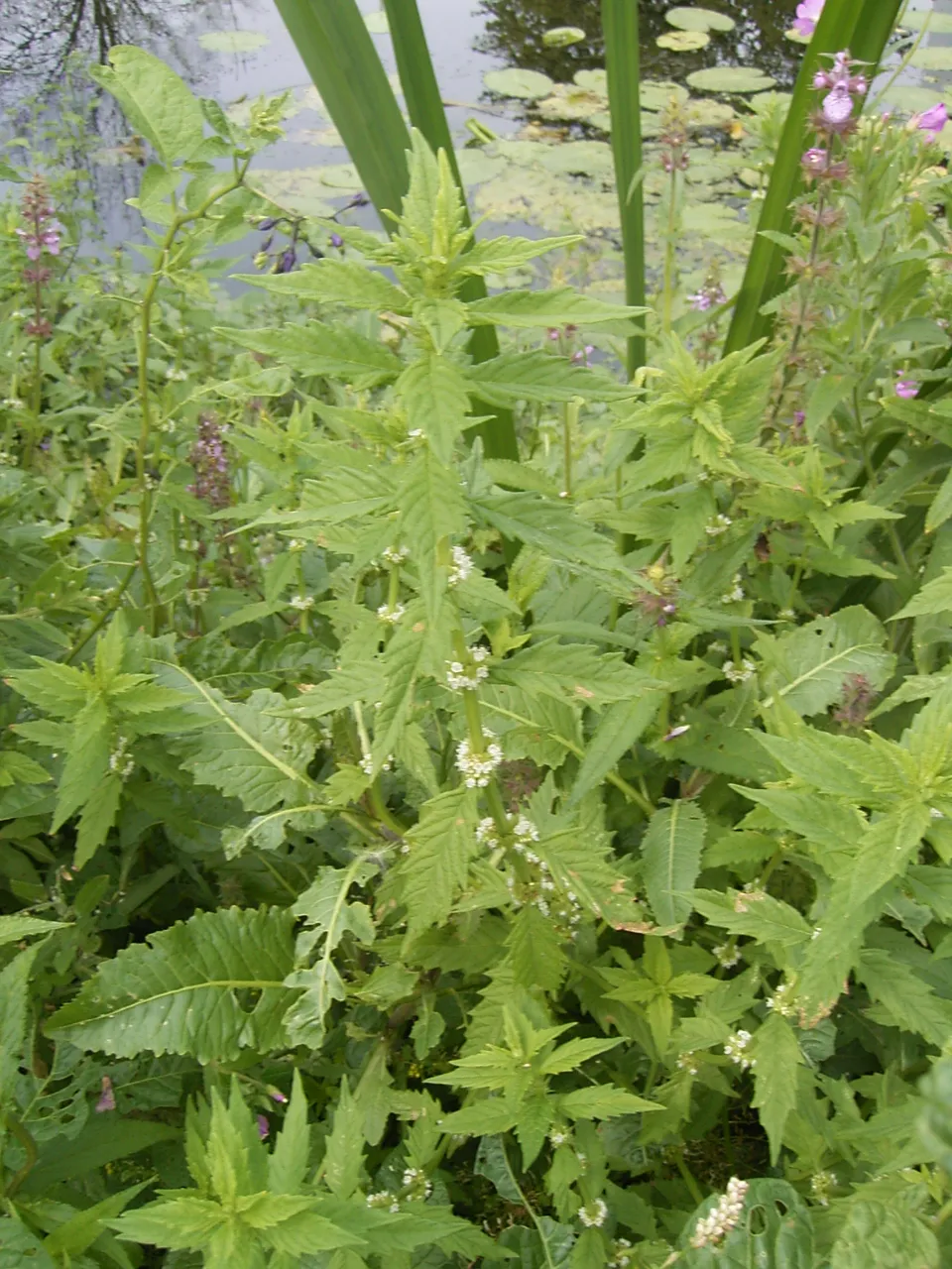
- Gypsywort · Lycopus europaeus · 154
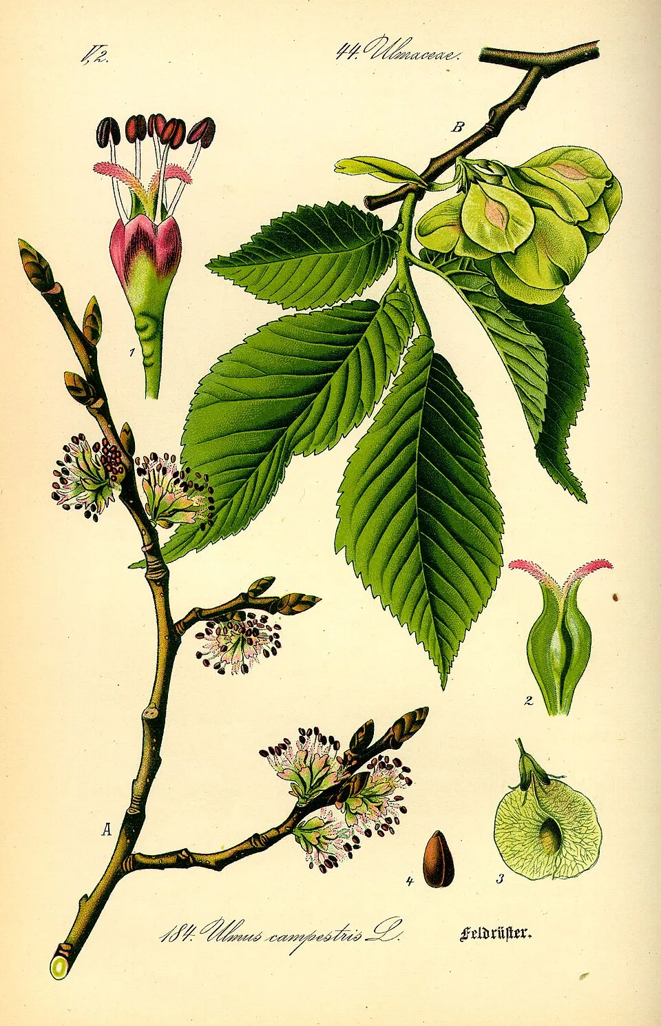
- Small-leaved elm · Ulmus minor · 151
- Creeping buttercup · Ranunculus repens · 132
- Dewberry · Rubus caesius · 130
- Yellow Loosestrife · Lysimachia vulgaris · 129
- Meadow foxtail · Alopecurus pratensis · 126
- Common Nettle · Urtica dioica · 125
- Marsh-bedstraw · Galium palustre · 124
+18 more species
- Yellow Iris · Iris pseudacorus · 124
- Tatar Maple · Acer tataricum · 122
- Common comfrey · Symphytum officinale · 118
- Ground-ivy · Glechoma hederacea · 116
- Purple-loosestrife · Lythrum salicaria · 113
- Narrow-leafed Ash · Fraxinus angustifolia · 113
- Creeping Bent · Agrostis stolonifera · 108
- Great tit · Parus major · 107
- Alder Buckthorn · Frangula alnus · 106
- White Poplar · Populus alba · 104
- Greater pond-sedge · Carex riparia · 103
- Common Buzzard · Buteo buteo · 102
- True fox-sedge · Carex vulpina · 99
- Eurasian Chaffinch · Fringilla coelebs · 97
- Marsh woundwort · Stachys palustris · 94
- Ragged-Robin · Silene flos-cuculi · 93
- Hornbeam · Carpinus betulus · 92
- Tufted hair-grass · Deschampsia cespitosa · 91
Records: GBIF.org (CC-BY). Names: Wikidata (CC0), GBIF. Photos: Wikimedia Commons.
Conservation challenges
The primary purpose of the site is to preserve its natural habitats and the biodiversity they support. The species recorded (Biodiversity tab) reflect its ecological value. The designations it holds frame its management and the control of land use.
According to Global Forest Change data (University of Maryland, Global Forest Watch), about 234 ha of tree cover were lost within the boundary between 2001 and 2023 (1% of its area), peaking in 2014 and 2016. These losses include logging, storms and fires, and do not account for regrowth. According to the European CORINE Land Cover inventory (Copernicus), land cover changed on about 403 ha of the site between 1990 and 2018 (2% of its area): farmland shrank by 378 ha, mostly giving way to forest, while forest grew by 375 ha, mostly at the expense of farmland. Forest felling and regrowth add about 650 ha in total over the period. At night, the area gives off virtually no artificial light detectable from space (NASA VIIRS Black Marble composite, 2016). Built-up and developed land (buildings, business areas, roads, quarries) covers 3% of the area, and farmland 52% (CORINE Land Cover). According to the Natura 2000 forms, all 15 assessed habitats of European interest are in good condition. According to the Water Framework Directive assessment (2022 river basin management plans, data 2021), none of the 64 km of rivers assessed within the site reaches good ecological status; they mostly have moderate ecological status. Since 2000, 32 invasive alien species have been recorded within the site (GBIF observations), 5 of them listed as of Union concern under EU Regulation 1143/2014. Among them: Asclepias syriaca (Common milkweed), Ailanthus altissima (Tree-of-heaven) and Reynoutria japonica (Japanese Knotweed).
Pressure indicators
Tree cover lost
234 ha
2001–2023 · 1% of the area
20012023
Fires since 2016
0
No large fire mapped (fires over about 30 ha)
Light at night
0%
of the area gives off artificial light visible from space
DarkLit
Built-up land
3%
buildings, business areas, roads, quarries · farmland 52%
Land cover change
403 ha
changed cover, 1990–2018 · CORINE · 2% of the area
- −378 ha · farmland
- +375 ha · forest
forest felling and regrowth: 650 ha in total
Rivers and lakes
0%
of the 64 km of assessed rivers in good or high ecological status · WFD 2022
assessments 2021
Invasive alien species
32
incl. 5 of EU concern · since 2000
Common milkweedEU
 Tree-of-heavenEU
 Japanese KnotweedEU
 Himalayan BalsamEU
Bohemian knotweedEU
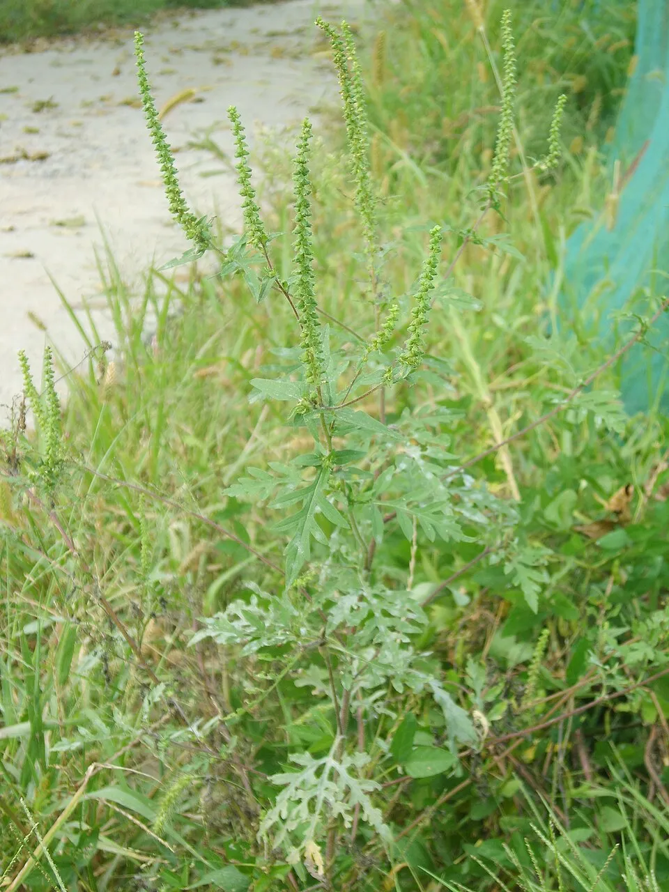 Annual ragweed
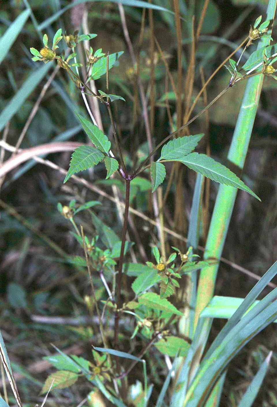 Beggarticks
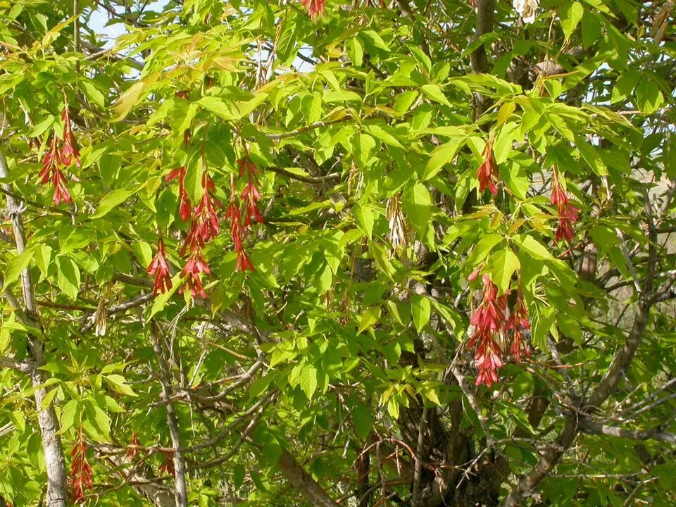 Ashleaf maple
Tree-of-heavenEU
Japanese KnotweedEU
Himalayan BalsamEU
Bohemian knotweedEU
Annual ragweed
Beggarticks
Ashleaf maple
Photos: Tree-of-heaven © Darkone · CC BY-SA 2.5; Japanese Knotweed © W.carter · CC0-1.0; Himalayan Balsam © Guptaele · CC BY-SA 4.0; Annual ragweed © Dalgial · CC BY-SA 3.0; Beggarticks © Fornax · CC BY-SA 3.0; Ashleaf maple © Matt Lavin from Bozeman, Montana, USA · CC BY-SA 2.0
Sources: Global Forest Change (Hansen et al., University of Maryland, via Global Forest Watch, CC-BY 4.0); EFFIS, European Commission / Copernicus; NASA Black Marble 2016 (public domain); CORINE Land Cover 2018 (Copernicus) or MODIS.
CORINE Land Cover Change 1990–2018: generated using European Union's Copernicus Land Monitoring Service information (EEA), aggregated by Parkavela; DOI 10.2909/f30f1000-7cf8-43bb-872c-5eb093911b24.
Ecological status of water bodies: European Environment Agency, WISE – Water Framework Directive, 3rd river basin management plans (2022), CC BY 4.0. Official national classification, not comparable between countries.
Invasive alien species: Global Register of Introduced and Invasive Species (ISSG, CC BY 4.0); Union list, Regulation (EU) 1143/2014 (INBO, CC0); GBIF.org records (CC0 / CC BY 4.0), at least 2 per species.
Practical information
Cities and airport
- Uzhhorod
19 km as the crow flies - Mukachevo
42 km as the crow flies - Airport: Košice (KSC)
40 km as the crow flies
Visitor information
- Kultúrno Informačné centrum
< 1 km from the site boundary - Tokajska vinna cesta
3 km from the site boundary
Hiking
11 waymarked routes listed, including:
E 3E 4Internationaler Bergwanderweg EisenachK, AKT (Sátoraljaújhely, vá.Via Slovakia (KechnecVia Slovakia (Kráľovský Chlmec
By bike
017 Dolnozemplínska cyklomagistrála · 46 km051 Zemplínska cyklomagistrála · 5 km5710 Vínna cyklotrasa · 6 km8717 · 5 km
Signed cycle routes: this does not mean that cycling is allowed on footpaths.
Data © OpenStreetMap contributors (ODbL) · Wikidata (CC0)
Routes © OpenStreetMap contributors (ODbL), via Waymarked Trails
Waymarked hiking routes
EB Internationaler Bergwanderweg Eisenach–Budapest (Slowakei Ost)
2 km within the site ↗ 13 m↘ 56 m 171–219 m
Tracks © OpenStreetMap contributors (ODbL), clipped to the boundary; elevation gain and profiles computed on the longest section from Mapzen Terrain Tiles (≈ 30 m), indicative only.
Access and visiting
The nearest railway station is Čierna nad Tisou št. hr, less than 1 km from the site boundary. Nearest towns of over 50,000 people, as the crow flies: Uzhhorod (19 km) and Mukachevo (42 km). Nearest airport: Košice (KSC), about 40 km away. About 380,000 people live within 20 km of the site boundary, 120,000 of them within 10 km; some 6,900 people are estimated to live inside (GHSL estimate, 2020). Visitor information on site: Kultúrno Informačné centrum and Tokajska vinna cesta. Waymarked hiking routes listed in OpenStreetMap: 11, including E 3, E 4, Internationaler Bergwanderweg Eisenach and K, AKT (Sátoraljaújhely, vá. The site is crossed by 4 signed cycle routes, including “017 Dolnozemplínska cyklomagistrála” and “051 Zemplínska cyklomagistrála” (OpenStreetMap). To plan a visit (access, opening periods, visitor rules), it is best to consult the official information from the managing body and the official website listed in this page's sources.
Source: OpenStreetMap (ODbL), Wikidata (CC0), October 2026.
Built heritage
According to Wikidata, 6 monuments listed in the Slovak register of national cultural monuments stand within the boundary. Among them are 6 religious buildings. Examples include “Chrám Narodenia Presvätej Bohorodičky” in Poľany, “Kostol Najsvätejšej Trojice” in Rad and “Church of St. Nicholas” in Boľ.
-
Chrám Narodenia Presvätej Bohorodičky
Poľany · 18th c. -
Kostol Najsvätejšej Trojice
Rad · 19th c. -
Church of St. Nicholas
Boľ · 13th c. -
Kostol sv. Štefana Uhorského
Zatín · 14th c. -
Kalvínsky kostol
Černochov · 18th c. -
Ruiny gotického kostola
Klin nad Bodrogom · 13th c.
Source: Wikidata (CC0), monuments in each country’s official heritage protection registers, at national or regional level. Each item links to its Wikidata entry.
When to visit
Best time to visit: from August to October, with average temperatures of 10 to 22 °C and moderate rainfall. Average temperatures drop below 0 °C in January: frost is common. Snow only makes brief appearances in winter (about 25 days a year on average, MODIS satellites 2015–2025). Day length ranges from about 8 h 19 min in December to 16 h 06 min in June. Wildlife records published on GBIF peak for birds (May), plants (June) and butterflies and moths (July and August). These peaks also reflect when observers are most active.
Source: Copernicus ERA5-Land (C3S), monthly averages 1996–2025 at the representative point, temperatures adjusted for elevation.
Contains modified Copernicus Climate Change Service information 2026. Neither the European Commission nor ECMWF is responsible for any use that may be made of the Copernicus information or data it contains.
Wildlife records calendar
JFMAMJJASOND
Birds
Plants
Butterflies & moths
Monthly records published on GBIF (CC-BY), relative to the busiest month; also reflects observer activity.
Gallery
© Younus2kocsis · CC BY-SA 4.0
© Mariamanticova · CC BY-SA 4.0
© Jozo Vasko · Public domain
© Lengyel.ttamas · CC BY-SA 2.5
© Jozo Vasko · Public domain
© Lengyel.ttamas · CC BY-SA 2.5
Sources and licences
- Wikidata: Q941548
- OpenStreetMap: relation 6757202
- Official website: http://chkolatorica.sopsr.sk/
- Wikipedia: en.wikipedia.org/wiki/Latorica_Protected_Landscape_Area
- WDPA: 30723
References
- cds.climate.copernicus.eu: climate · CC-BY-4.0
- registry.opendata.aws: elevation of the reference point, detailed relief · PD
- land.copernicus.eu: land cover, land cover change, sea share · COPERNICUS
- doi.org: population around the site · CC-BY-4.0
- wikidata.org: official area, establishment date, protected heritage, official name, nearby cities and airport, access and peaks, lake depths, places to see, official website · CC0-1.0
- eea.europa.eu: bathing water quality, ecological status of waters · CC-BY-4.0
- en.eurovelo.com: EuroVelo cycle routes · ODbL-1.0
- cycling.waymarkedtrails.org: cycle routes · ODbL-1.0
- opentopodata.org: elevations · PD
- forest-fire.emergency.copernicus.eu: wildfires · COPERNICUS
- globalforestwatch.org: tree cover loss · CC-BY-4.0
- gbif.org: seasonality of sightings, invasive alien species, observed species · CC-BY-4.0
- europe-geology.eu: geology · CC-BY-4.0
- hydrosheds.org: lakes · CC-BY-4.0
- natura2000.eea.europa.eu: Natura 2000 habitats and species · CC-BY-4.0
- earthobservatory.nasa.gov: night light · PD
- openstreetmap.org: access and peaks · ODbL-1.0
- hiking.waymarkedtrails.org: route difficulty · ODbL-1.0
- nsidc.org: snow cover · PD
- wikidata.org: Wikipedia article · CC-BY-SA-4.0
Data © OpenStreetMap contributors (ODbL), Wikidata (CC0) and the sources cited.