Slovakia · Terrestrial
Pieniny National Park
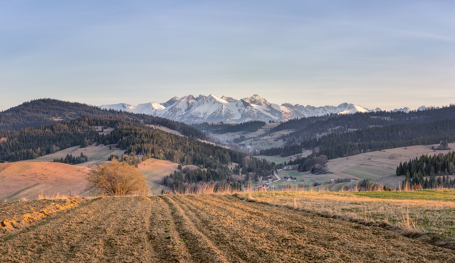
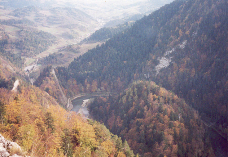
National park of 3,750 hectares in Slovakia, established in 1967.
Overview
National park of 3,750 hectares in Slovakia, established in 1967.
Pieniny National Park is located in Slovakia (Europe). It is a predominantly terrestrial area. Established on 16 January 1967, it covers about 3,750 hectares.
Protections and designations
Natura 2000 · habitats (SAC) · 2 sites
- Pieninské bradlá SKUEV0339
- Pieniny SKUEV0337
Protected as a national park. International labels and designations: Natura 2000 network (2 sites). Key dates: established in 1967 and first Natura 2000 site under the Habitats Directive in 2004.
In our collections
Timeline
-
1967
Established
-
2004
First Natura 2000 site under the Habitats Directive
Sources: Wikidata (CC0) for establishment and international labels; EEA Natura 2000 database (CC-BY 4.0) for site designation dates.
Frequently asked questions
Where is Pieniny National Park?
In Slovakia (Europe). Representative point: 49.4000° N, 20.4569° E.
How large is Pieniny National Park?
About 3,750 hectares (38 km²). It is the 9th largest of the 9 national parks in Slovakia covered by Parkavela.
When was Pieniny National Park established?
On 16 January 1967.
What habitats and landscapes does Pieniny National Park include?
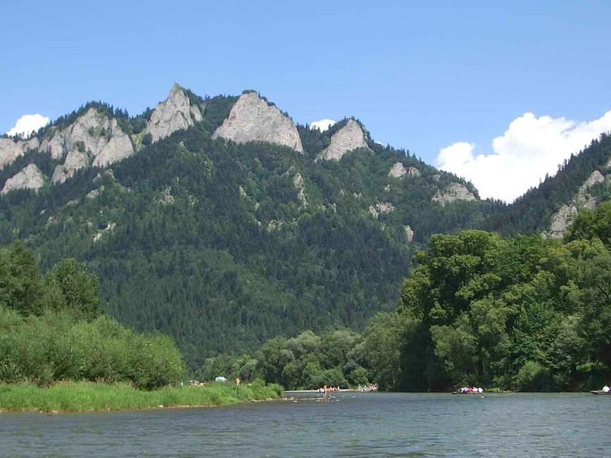
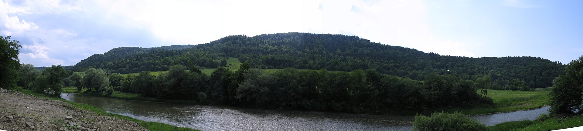
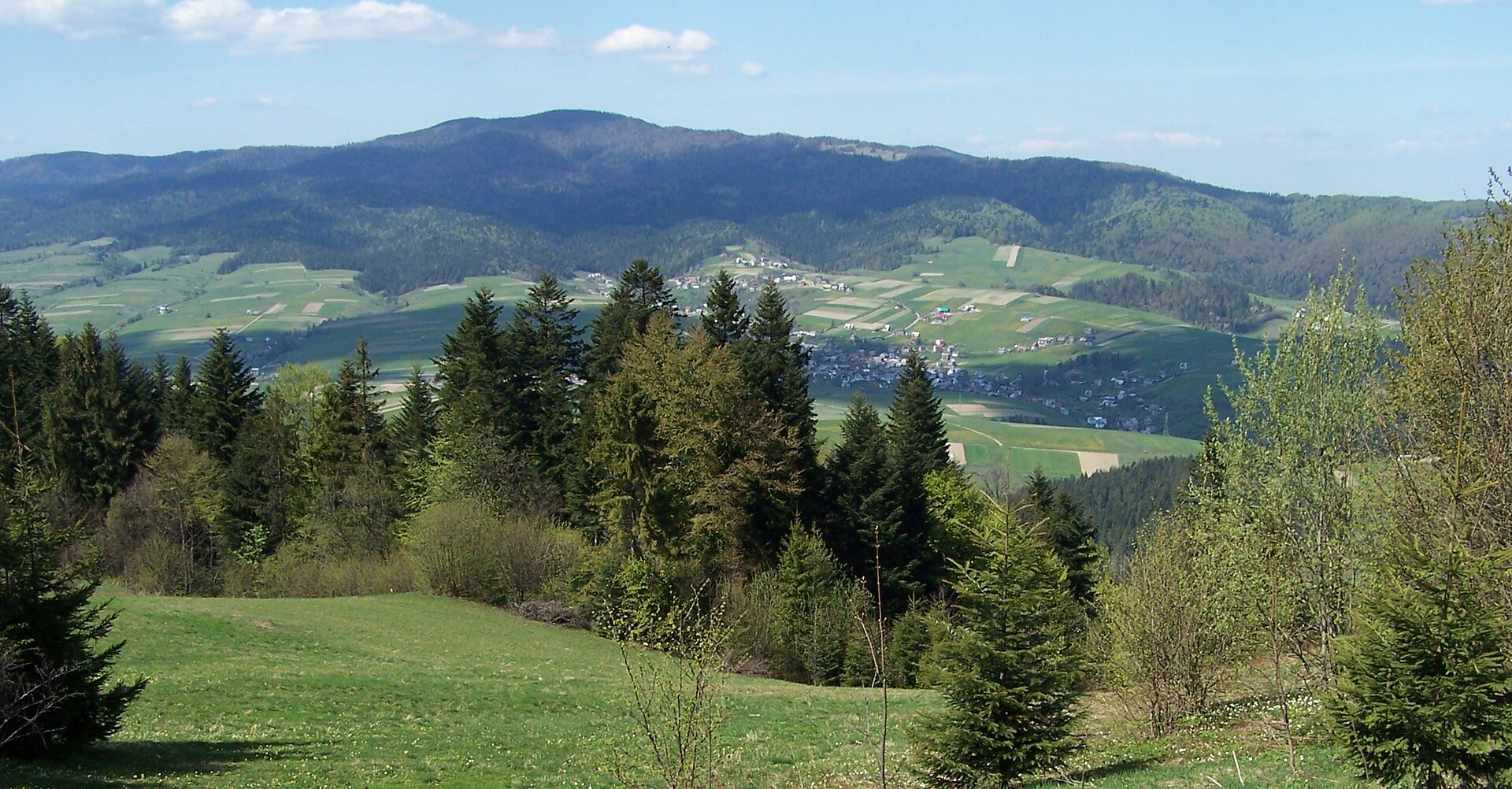
A terrestrial area, with forests and mountains.
What rocks lie beneath Pieniny National Park?
According to the European 1:1 million geological map (EGDI), the bedrock consists mainly of conglomerates and breccias (38% of sampled points), marly limestones (38%) and sandstones (19%). These are mostly sedimentary rocks. The geological units date mainly from the Cretaceous (38% of sampled points).
What is the highest point of Pieniny National Park?
Smerekowa / Vysoká, at 1,013 m (OpenStreetMap).
What are the main summits of Pieniny National Park?
Smerekowa / Vysoká (1,013 m), Jaworzyna (1,001 m), Kýčera (935 m), Plašná (889 m) and Rabsztyn / Rabštín (847 m) (OpenStreetMap).
Which international labels apply to Pieniny National Park?
Natura 2000 network (2 sites).
When is the best time to visit Pieniny National Park?
Mildest period: from June to August, with average temperatures of 15 to 18 °C.
Is there snow in Pieniny National Park?
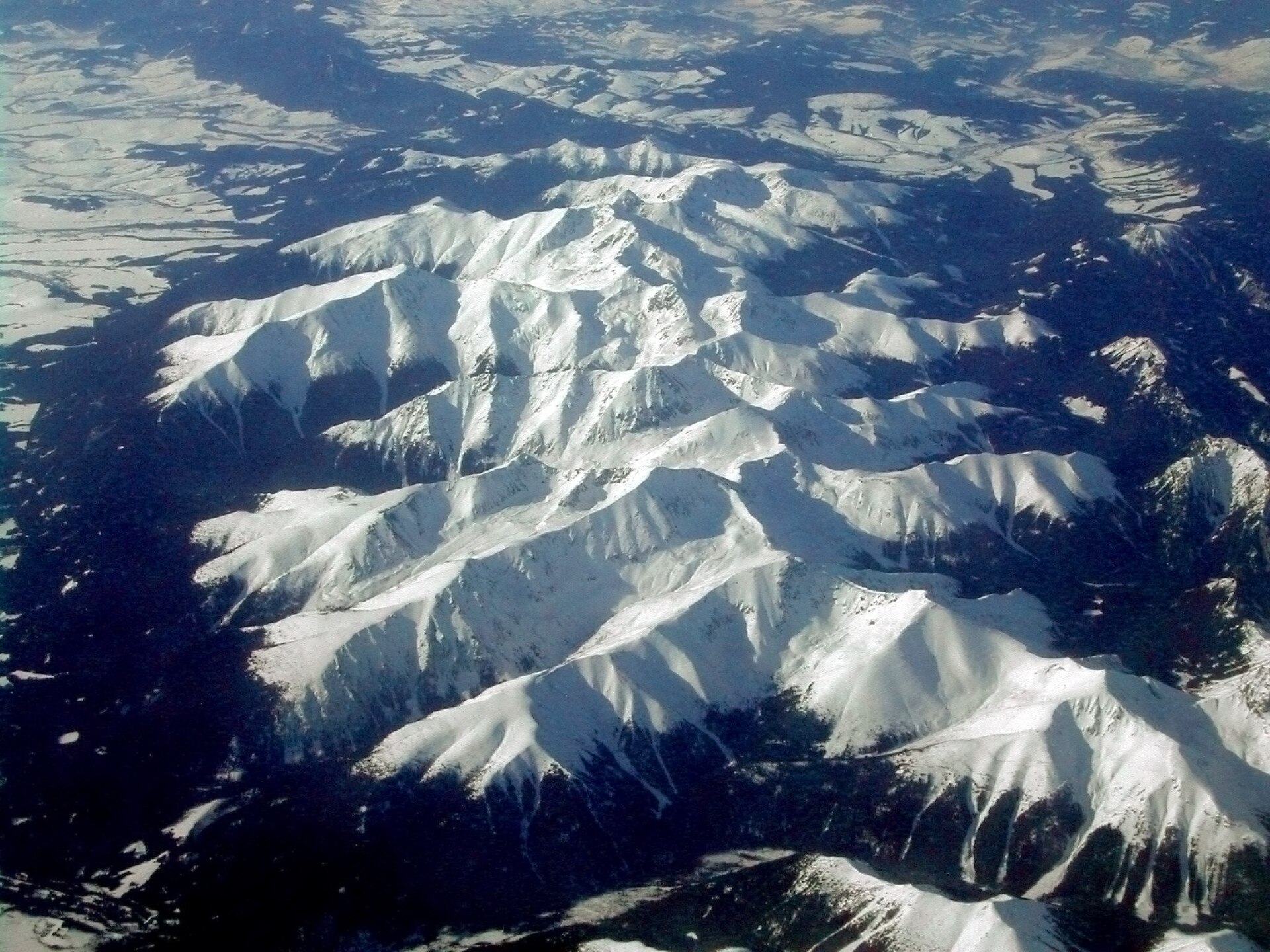
Yes. According to NASA's MODIS satellites (2015–2025 average), snow covers most of the site from December to February, with about 90 snow-covered days a year on average.
What is there to see in Pieniny National Park?
Cave Aksamitka (Wikidata).
Are there historic monuments in Pieniny National Park?
Yes. According to Wikidata, 3 monuments listed in the Slovak register of national cultural monuments stand within the boundary. For example: “Červený Kláštor” in Červený Kláštor, “Ľudový dom” in Lesnica and “Kostol sv. Michala archanjela” in Lesnica.
What is the nearest large city to Pieniny National Park?
Nearest towns of over 50,000 people, as the crow flies: Nowy Sącz (28 km) and Prešov (62 km). Nearest airport: Poprad-Tatry (TAT), about 37 km away.
How can I reach Pieniny National Park by train?
The nearest railway station is Forbasy, about 7 km from the site boundary.
Where can I get visitor information on site?
Pawilon edukacyjny Pienińskiego Parku Narodowego, Informacja Turystyczna and Punkt promocji i informacji turystycznej.
Are there waymarked hiking trails in Pieniny National Park?
Yes. Waymarked hiking routes listed in OpenStreetMap: 15, including E 3 (460 km), Międzynarodowy Górski Szlak Przyjaźni Eisenach, Via Slovakia (Ruská Voľa n. Popradom and Pieninská cesta. The “Via Slovakia (Ruská Voľa n. Popradom - Červený Kláštor)” route runs for about 16 km through the site, with some 450 m of ascent on its longest section.
Which species can be seen in Pieniny National Park?
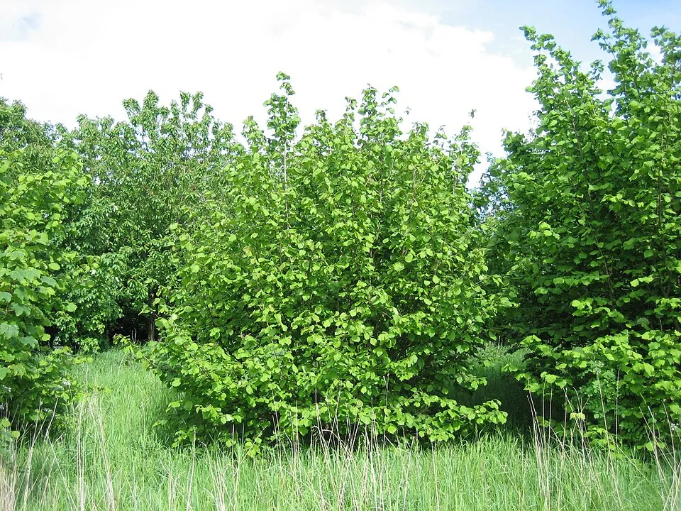
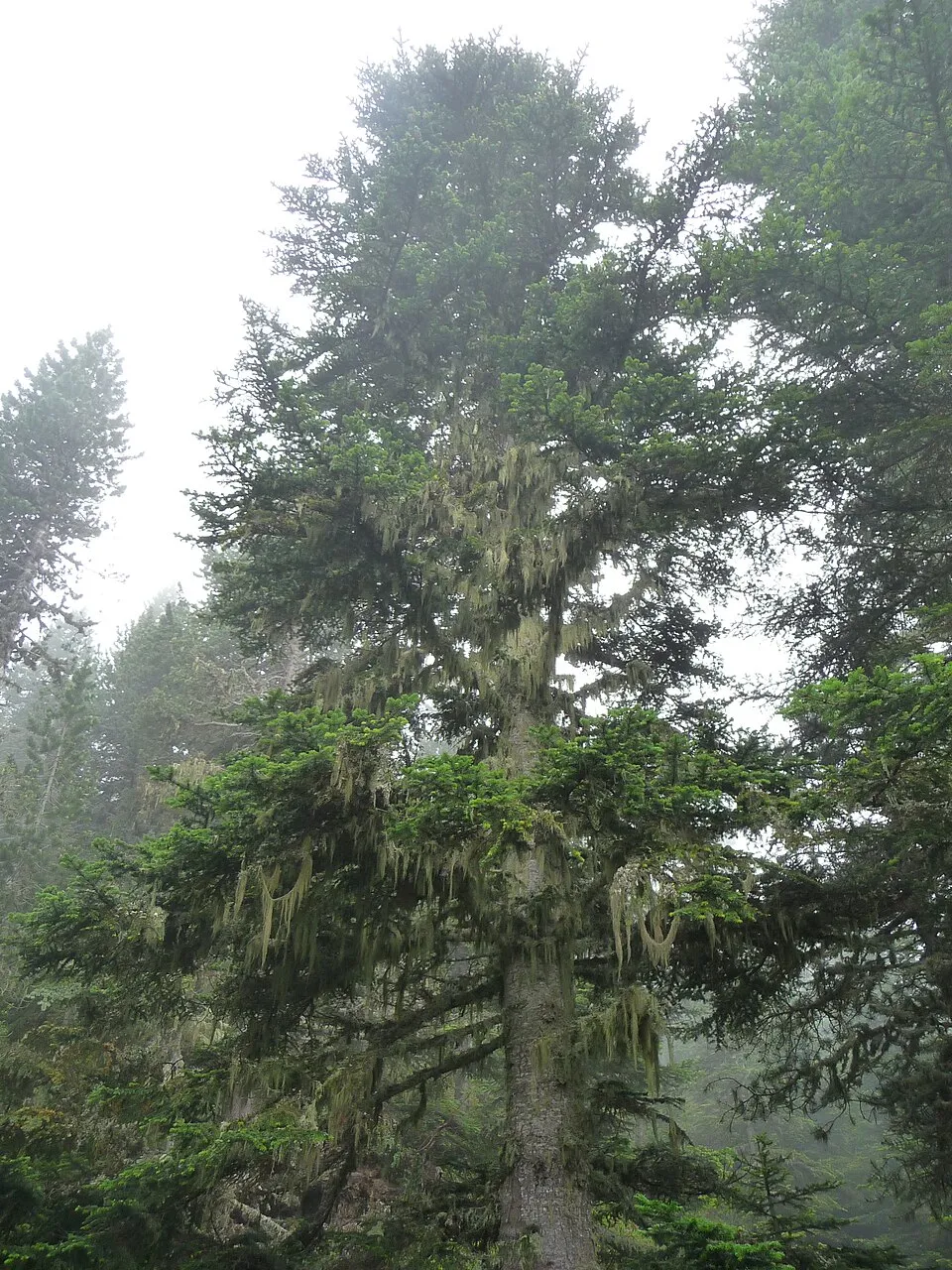
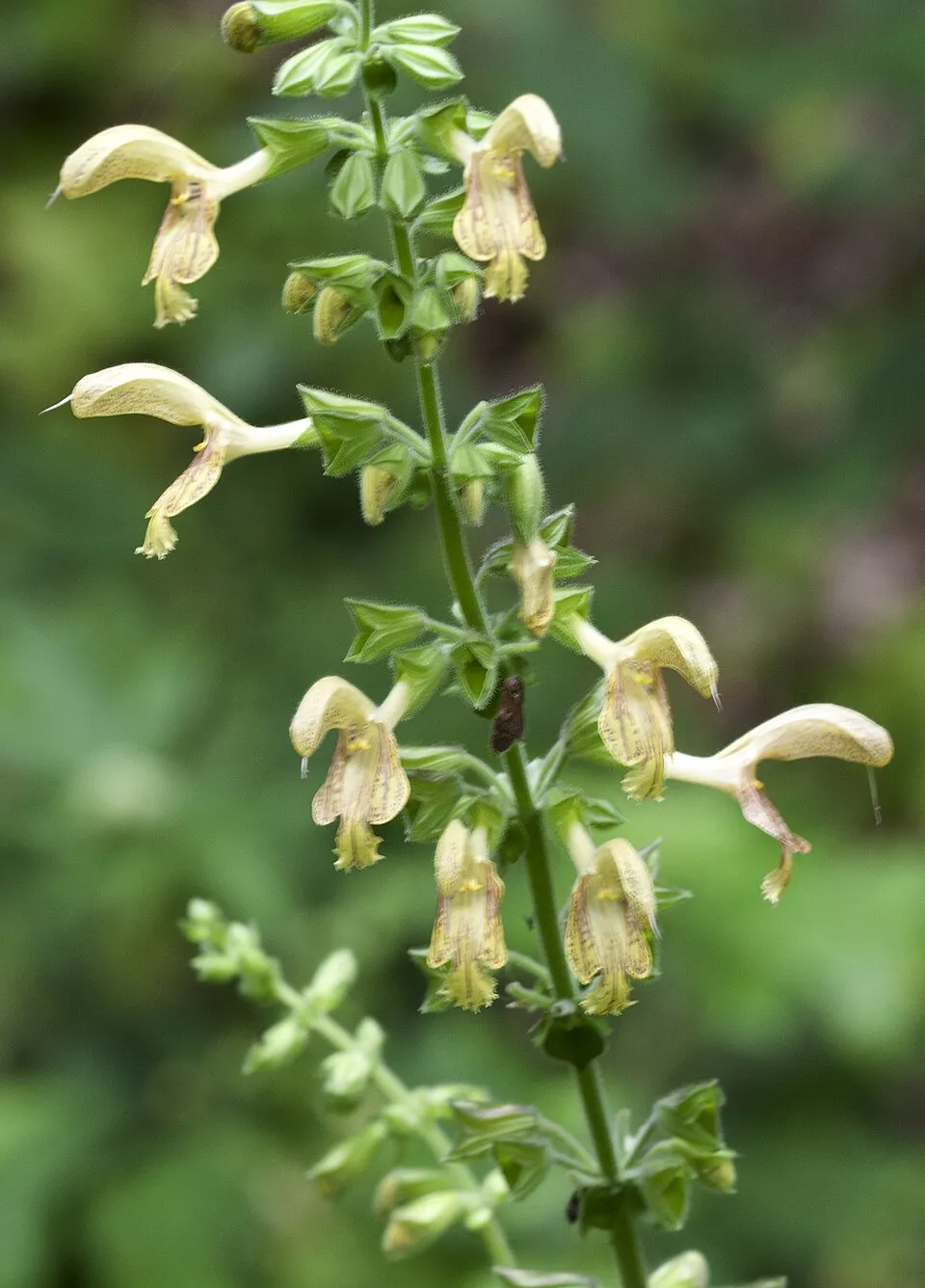
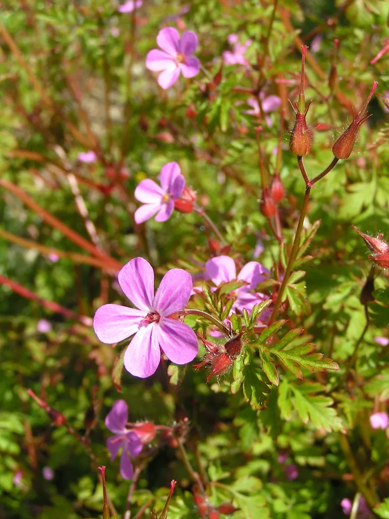
Among the species most often recorded on GBIF are Corylus avellana (Hazel), Abies alba (Silver Fir), Salvia glutinosa (Sticky clary) and Geranium robertianum (Herb-robert).
What is the official website of Pieniny National Park?
© OpenStreetMap
Download the boundary: GeoJSON · GPX Boundary © OpenStreetMap contributors (ODbL).
Geography
The representative point of the site lies at around 677 m above sea level. Over the 1996–2025 period, the mean annual temperature is about 6.9 °C and total precipitation reaches roughly 958 mm per year. The warmest month is usually July, the coolest January, and the wettest July. According to the European 1:1 million geological map (EGDI), the bedrock consists mainly of conglomerates and breccias (38% of sampled points), marly limestones (38%) and sandstones (19%). These are mostly sedimentary rocks. The geological units date mainly from the Cretaceous (38% of sampled points).
Area
- Area
- 3,750 ha
- Elevation
- 677 m
- Median elevation
- 678 m
- Mean slope
- 14°
- Snow cover
- ≈ 90 days a year
- Coordinates
- 49.4, 20.4569
Terrain: Mapzen Terrain Tiles (SRTM, USGS)
Elevation bands
- below 500 m 6%
- 500–1,000 m 94%
share of the site in each elevation band (smoothed terrain model: summits are rounded off) · Terrain: Mapzen Terrain Tiles (SRTM, USGS)
Bedrock
- Conglomerates and breccias 38 %
- Marly limestones 38 %
- Sandstones 19 %
- Limestones 6 %
Sedimentary rocks 100 % · Main age: Cretaceous (38%)
Source: EGDI 1:1M geological map (EuroGeoSurveys and national geological surveys), CC BY 4.0 · 16 sampled points within the site.
Main summits
- Smerekowa / Vysoká1,013 m
- Jaworzyna1,001 m
- Kýčera935 m
- Plašná889 m
- Rabsztyn / Rabštín847 m
- Holica828 m
- Lažna Skala / Łaźne Skały770 m
- Polianka706 m
- Psia hora690 m
- Kláštorná hora657 m
Data © OpenStreetMap contributors (ODbL)
Climate
● Mean temperature (°C) · ▮ Precipitation (mm)
Source: Copernicus ERA5-Land (C3S, doi:10.24381/cds.68d2bb30), monthly averages 1996–2025 interpolated to the representative point, temperatures adjusted for elevation.
Contains modified Copernicus Climate Change Service information 2026. Neither the European Commission nor ECMWF is responsible for any use that may be made of the Copernicus information or data it contains.
Snow cover measured by satellite
J
F
M
A
M
J
J
A
S
O
N
D
average share of the site under snow · snowiest parts · ≈ 90 days a year
Snow cover: MODIS/Terra MOD10CM v61 (Hall & Riggs, 2021, NASA NSIDC DAAC, doi:10.5067/MODIS/MOD10CM.061), imagery from NASA GIBS (ESDIS); 2015–2025 average, grid of about 5 km.
Natural habitats
According to CORINE Land Cover (2018), the site is mainly made up of forests (46%), grassland and meadows (28%) and farmland (21%). Woodland is mostly coniferous. Elevation ranges from about 480 m to 1,013 m (highest point: Smerekowa / Vysoká). Median elevation is 678 m, and 94% of the site lies above 500 m (SRTM elevation model). The 2 Natura 2000 sites overlapping the area list 16 habitats of European interest (6 priority), the most extensive being lowland hay meadows (Alopecurus pratensis, Sanguisorba officinalis), Asperulo-Fagetum beech forests and Tilio-Acerion forests of slopes, screes and ravines.
Biodiversity
Based on occurrences aggregated by GBIF, several species are regularly recorded within the site. Among the most frequent are Corylus avellana (Hazel), Abies alba (Silver Fir), Salvia glutinosa (Sticky clary) and Geranium robertianum (Herb-robert). The full list of documented taxa is shown below. The overlapping Natura 2000 sites list 14 species of European interest: 10 mammals, 1 amphibian, 2 invertebrates and 1 plant.
Habitats of European interest
From the official forms of the 2 Natura 2000 sites overlapping the area (areas reported for each whole site).
- Lowland hay meadows (Alopecurus pratensis, Sanguisorba officinalis) 695 ha
- Asperulo-Fagetum beech forests 215 ha
- Tilio-Acerion forests of slopes, screes and ravines priority 113 ha
- Medio-European limestone beech forests of the Cephalanthero-Fagion 97 ha
- Species-rich Nardus grasslands, on silicious substrates in mountain areas (and submountain areas in Continental Europe) priority 25 ha
- Semi-natural dry grasslands and scrubland facies on calcareous substrates (Festuco-Brometalia) (* important orchid sites) 9 ha
- Calcareous rocky slopes with chasmophytic vegetation 8 ha
- Rupicolous pannonic grasslands (Stipo-Festucetalia pallentis) 4 ha
and 8 more
Species of European interest
Mammals · 10
Barbastelle (Barbastella barbastellus), Grey wolf (Canis lupus), Eurasian Beaver (Castor fiber), Eurasian otter (Lutra lutra), Eurasian Lynx (Lynx lynx), Common bent-wing bat (Miniopterus schreibersii), Geoffroy's bat (Myotis emarginatus), Greater mouse-eared bat (Myotis myotis), Greater Horseshoe Bat (Rhinolophus ferrumequinum), Lesser horseshoe bat (Rhinolophus hipposideros)
Amphibians · 1
Invertebrates · 2
Cucujus cinnaberinus, Jersey Tiger (Euplagia quadripunctaria)
Source: Natura 2000 standard data forms (EEA, CC-BY 4.0). Not exhaustive: sensitive species are not published.
Species to look out for
Observed species
Occurrences documented via GBIF; they are neither an exhaustive inventory nor proof of current presence.
- Hazel · Corylus avellana · 226
- Silver Fir · Abies alba · 178
- Sticky clary · Salvia glutinosa · 159
- Herb-robert · Geranium robertianum · 155
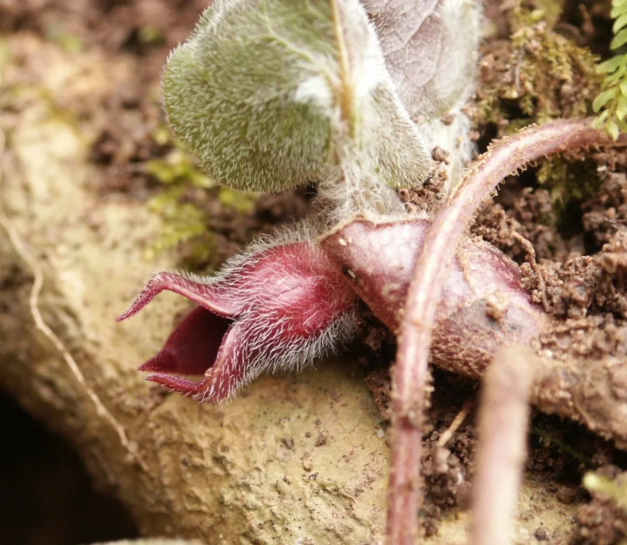
- European wild ginger · Asarum europaeum · 148
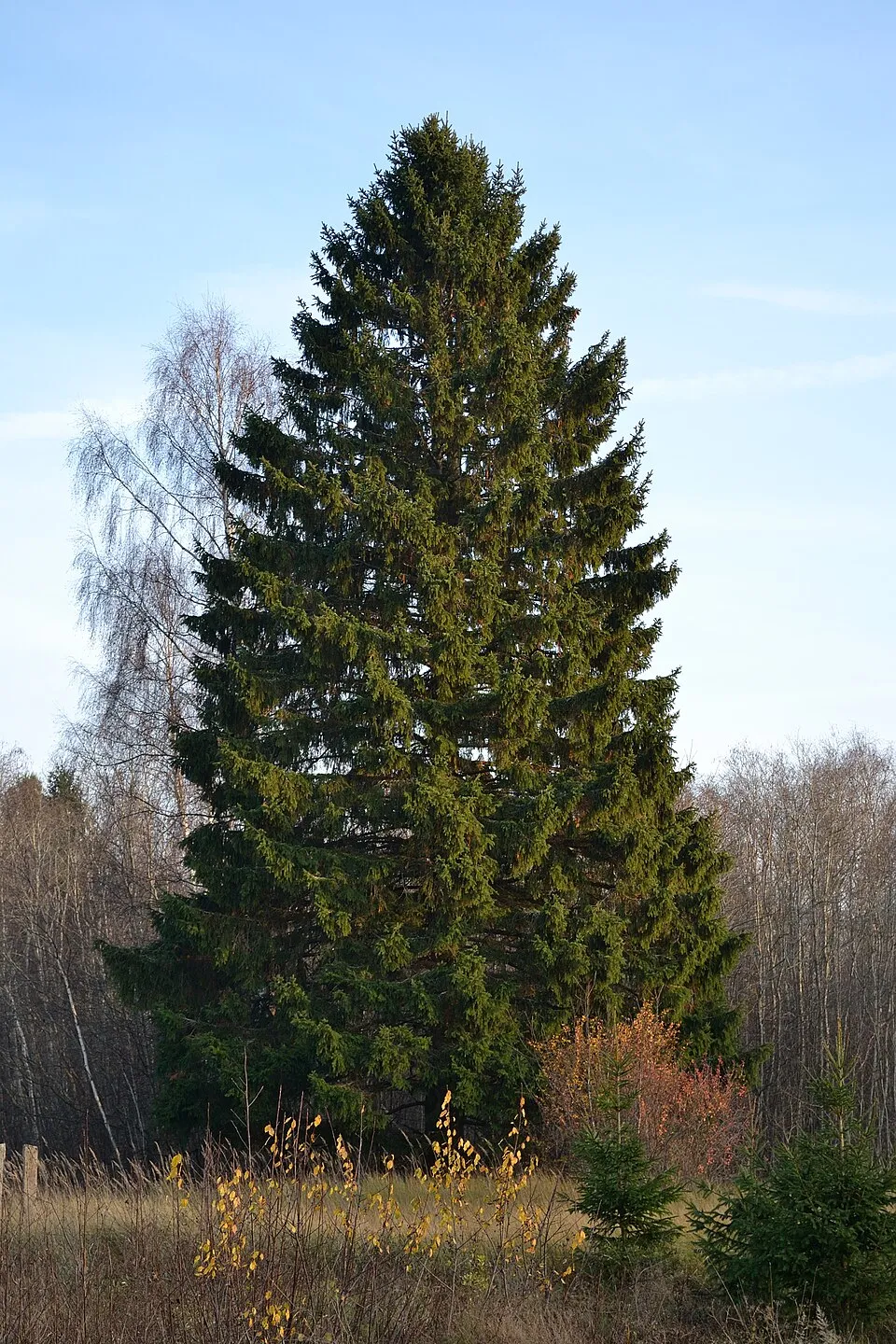
- Norway spruce · Picea abies · 134
- Scots Pine · Pinus sylvestris · 119
- Cypress Spurge · Euphorbia cyparissias · 118
- Wild basil · Clinopodium vulgare · 116
- Whorled clary · Salvia verticillata · 116
- Wild strawberry · Fragaria vesca · 112
- Wild marjoram · Origanum vulgare · 107
+18 more species
- Raspberry · Rubus idaeus · 105
- Common Juniper · Juniperus communis · 104
- Cruciata glabra · 103
- White swallow-wort · Vincetoxicum hirundinaria · 97
- Fingered Sedge · Carex digitata · 92
- Oxlip · Primula elatior · 92
- Wood bluegrass · Poa nemoralis · 91
- Calamagrostis varia · 90
- Hedge bedstraw · Galium mollugo · 90
- Blackthorn · Prunus spinosa · 89
- Common Nettle · Urtica dioica · 88
- Hens-and-chickens House-leek · Sempervivum globiferum · 88
- Quaking grass · Briza media · 87
- Tormentil · Potentilla erecta · 87
- Creeping Bellflower · Campanula rapunculoides · 87
- Tufted vetch · Vicia cracca · 86
- Sycamore · Acer pseudoplatanus · 86
- Cock's-foot · Dactylis glomerata · 85
Records: GBIF.org (CC-BY). Names: Wikidata (CC0), GBIF. Photos: Wikimedia Commons.
Conservation challenges
The primary purpose of the site is to preserve its natural habitats and the biodiversity they support. The species recorded (Biodiversity tab) reflect its ecological value. The designations it holds frame its management and the control of land use.
According to Global Forest Change data (University of Maryland, Global Forest Watch), about 29 ha of tree cover were lost within the boundary between 2001 and 2023 (under 1% of its area), peaking in 2005 and 2014. These losses include logging, storms and fires, and do not account for regrowth. According to the European CORINE Land Cover inventory (Copernicus), land cover changed on about 42 ha of the site between 1990 and 2018 (under 1% of its area): farmland shrank by 42 ha, mostly giving way to forest, while forest grew by 42 ha, mostly at the expense of farmland. At night, the area gives off virtually no artificial light detectable from space (NASA VIIRS Black Marble composite, 2016). Built-up and developed land (buildings, business areas, roads, quarries) covers 3% of the area, and farmland 21% (CORINE Land Cover). According to the Natura 2000 forms, of 16 assessed habitats of European interest, 12 are in excellent condition and the rest in good condition. According to the Water Framework Directive assessment (2022 river basin management plans, data 2021), 87% of the 20 km of rivers assessed within the site are in good or high ecological status. Since 2000, 9 invasive alien species have been recorded within the site (GBIF observations), 3 of them listed as of Union concern under EU Regulation 1143/2014. Among them: Impatiens glandulifera (Himalayan Balsam), Reynoutria japonica (Japanese Knotweed) and Heracleum mantegazzianum (Giant Hogweed).
Pressure indicators
Tree cover lost
29 ha
2001–2023 · < 1% of the area
20012023
Fires since 2016
0
No large fire mapped (fires over about 30 ha)
Light at night
0%
of the area gives off artificial light visible from space
DarkLit
Built-up land
3%
buildings, business areas, roads, quarries · farmland 21%
Land cover change
42 ha
changed cover, 1990–2018 · CORINE · < 1% of the area
- −42 ha · farmland
- +42 ha · forest
Rivers and lakes
87%
of the 20 km of assessed rivers in good or high ecological status · WFD 2022
assessments 2021
Invasive alien species
9
incl. 3 of EU concern · since 2000
 Himalayan BalsamEU
 Japanese KnotweedEU
 Giant HogweedEU
 Small balsam
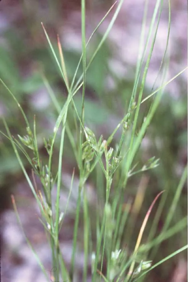 Slender rush
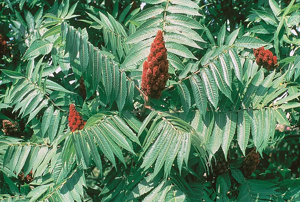 Staghorn sumac
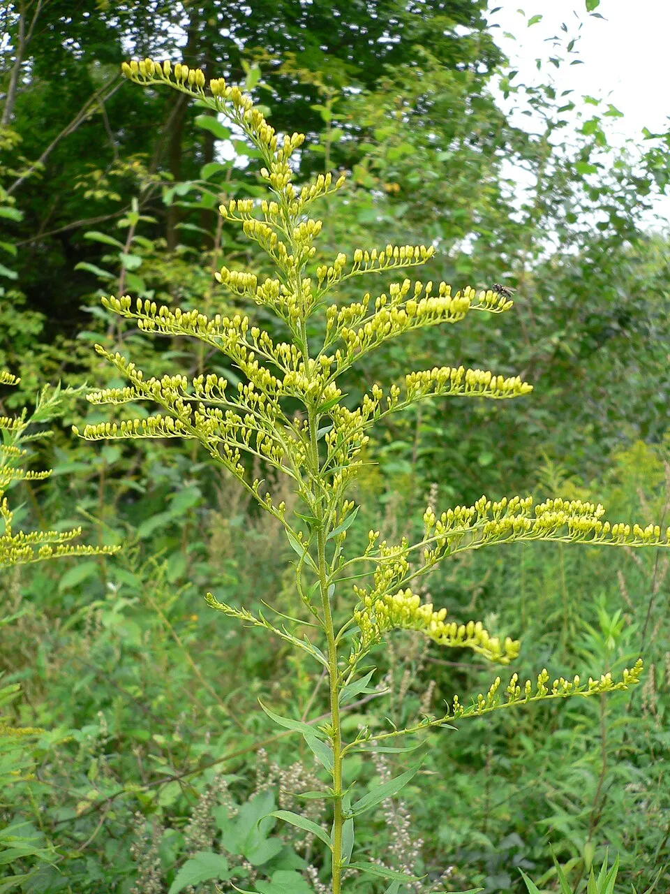 Canada goldenrod
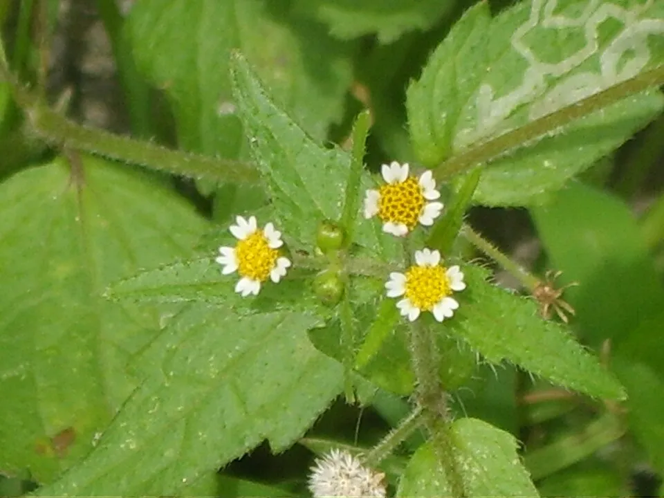 Shaggy soldier
Photos: Himalayan Balsam © Guptaele · CC BY-SA 4.0; Japanese Knotweed © W.carter · CC0-1.0; Giant Hogweed © anastasiiamerkulova · CC BY 4.0; Small balsam © André Karwath aka Aka · CC BY-SA 2.5; Slender rush © EVula · Public domain; Staghorn sumac © Muggwort17 · Public domain; Canada goldenrod © Georg Slickers · CC BY-SA 4.0; Shaggy soldier © Dalgial · CC BY-SA 3.0
Sources: Global Forest Change (Hansen et al., University of Maryland, via Global Forest Watch, CC-BY 4.0); EFFIS, European Commission / Copernicus; NASA Black Marble 2016 (public domain); CORINE Land Cover 2018 (Copernicus) or MODIS.
CORINE Land Cover Change 1990–2018: generated using European Union's Copernicus Land Monitoring Service information (EEA), aggregated by Parkavela; DOI 10.2909/f30f1000-7cf8-43bb-872c-5eb093911b24.
Ecological status of water bodies: European Environment Agency, WISE – Water Framework Directive, 3rd river basin management plans (2022), CC BY 4.0. Official national classification, not comparable between countries.
Invasive alien species: Global Register of Introduced and Invasive Species (ISSG, CC BY 4.0); Union list, Regulation (EU) 1143/2014 (INBO, CC0); GBIF.org records (CC0 / CC BY 4.0), at least 2 per species.
Practical information
Cities and airport
- Nowy Sącz
28 km as the crow flies - Prešov
62 km as the crow flies - Airport: Poprad-Tatry (TAT)
37 km as the crow flies
Visitor information
- Pawilon edukacyjny Pienińskiego Parku Narodowego
< 1 km from the site boundary - Informacja Turystyczna
< 1 km from the site boundary - Punkt promocji i informacji turystycznej
3 km from the site boundary
Parking
10 public car parks listed within the site
Hiking
15 waymarked routes listed, including:
E 3 (460 km)Międzynarodowy Górski Szlak Przyjaźni EisenachVia Slovakia (Ruská Voľa n. PopradomPieninská cestaTarnówModyń
By bike
N5851 Aquavelo · 14 km014 Spišská cyklomagistrála · 10 kmN2801 · 8 kmN2801 · 7 km
Signed cycle routes: this does not mean that cycling is allowed on footpaths.
Data © OpenStreetMap contributors (ODbL) · Wikidata (CC0)
Routes © OpenStreetMap contributors (ODbL), via Waymarked Trails
Waymarked hiking routes
Via Slovakia (Ruská Voľa n. Popradom - Červený Kláštor)
16.4 km within the site ↗ 453 m↘ 209 m 665–980 m
Tracks © OpenStreetMap contributors (ODbL), clipped to the boundary; elevation gain and profiles computed on the longest section from Mapzen Terrain Tiles (≈ 30 m), indicative only.
Access and visiting
The nearest railway station is Forbasy, about 7 km from the site boundary. Nearest towns of over 50,000 people, as the crow flies: Nowy Sącz (28 km) and Prešov (62 km). Nearest airport: Poprad-Tatry (TAT), about 37 km away. About 200,000 people live within 20 km of the site boundary, 56,000 of them within 10 km; some 2,000 people are estimated to live inside (GHSL estimate, 2020). This population has grown by about 13% since 2000. Visitor information on site: Pawilon edukacyjny Pienińskiego Parku Narodowego, Informacja Turystyczna and Punkt promocji i informacji turystycznej. Public car parks listed within the site: 10. Waymarked hiking routes listed in OpenStreetMap: 15, including E 3 (460 km), Międzynarodowy Górski Szlak Przyjaźni Eisenach, Via Slovakia (Ruská Voľa n. Popradom and Pieninská cesta. The site is crossed by 7 signed cycle routes, including “N5851 Aquavelo” and “014 Spišská cyklomagistrála” (OpenStreetMap). To see: cave Aksamitka. To plan a visit (access, opening periods, visitor rules), it is best to consult the official information from the managing body and the official website listed in this page's sources.
Source: OpenStreetMap (ODbL), Wikidata (CC0), October 2026.
Built heritage
According to Wikidata, 3 monuments listed in the Slovak register of national cultural monuments stand within the boundary. Examples include “Červený Kláštor” in Červený Kláštor, “Ľudový dom” in Lesnica and “Kostol sv. Michala archanjela” in Lesnica.
2 religious buildings1 house or civic building
-
Červený Kláštor
Červený Kláštor · 14th c. -
Ľudový dom
Lesnica · 20th c. -
Kostol sv. Michala archanjela
Lesnica · 17th c.
Source: Wikidata (CC0), monuments in each country’s official heritage protection registers, at national or regional level. Each item links to its Wikidata entry.
When to visit
Mildest period: from June to August, with average temperatures of 15 to 18 °C. Average temperatures drop below 0 °C from December to February: frost is common. Precipitation peaks from May to July (up to 140 mm per month). According to NASA's MODIS satellites (2015–2025 average), snow covers most of the site from December to February, with about 90 snow-covered days a year on average. Day length ranges from about 8 h 11 min in December to 16 h 14 min in June. Wildlife records published on GBIF peak for birds (May), plants (July) and butterflies and moths (July). These peaks also reflect when observers are most active.
Source: Copernicus ERA5-Land (C3S), monthly averages 1996–2025 at the representative point, temperatures adjusted for elevation.
Contains modified Copernicus Climate Change Service information 2026. Neither the European Commission nor ECMWF is responsible for any use that may be made of the Copernicus information or data it contains.
Wildlife records calendar
JFMAMJJASOND
Birds
Plants
Butterflies & moths
Monthly records published on GBIF (CC-BY), relative to the busiest month; also reflects observer activity.
Gallery
© Kristo · CC BY-SA 3.0
© Charles J. Sharp · CC BY-SA 4.0
© Pudelek (Marcin Szala) · CC BY-SA 4.0
© Szydzio · CC BY-SA 4.0
© Palickap · CC BY-SA 4.0
© Piotr Michalak · CC BY-SA 4.0
Sources and licences
- Wikidata: Q1783680
- OpenStreetMap: relation 6757024
- Official website: https://www.pienap.sk/
- Wikipedia: en.wikipedia.org/wiki/Pieniny_National_Park_(Slovakia)
- WDPA: 646
References
- cds.climate.copernicus.eu: climate · CC-BY-4.0
- registry.opendata.aws: elevation of the reference point, detailed relief · PD
- land.copernicus.eu: land cover, land cover change, sea share · COPERNICUS
- doi.org: population around the site · CC-BY-4.0
- wikidata.org: official area, establishment date, protected heritage, nearby cities and airport, access and peaks, lake depths, places to see, official website · CC0-1.0
- eea.europa.eu: bathing water quality, ecological status of waters · CC-BY-4.0
- en.eurovelo.com: EuroVelo cycle routes · ODbL-1.0
- cycling.waymarkedtrails.org: cycle routes · ODbL-1.0
- opentopodata.org: elevations · PD
- forest-fire.emergency.copernicus.eu: wildfires · COPERNICUS
- globalforestwatch.org: tree cover loss · CC-BY-4.0
- gbif.org: seasonality of sightings, invasive alien species, observed species · CC-BY-4.0
- europe-geology.eu: geology · CC-BY-4.0
- hydrosheds.org: lakes · CC-BY-4.0
- natura2000.eea.europa.eu: Natura 2000 habitats and species · CC-BY-4.0
- openstreetmap.org: official name, access and peaks · ODbL-1.0
- earthobservatory.nasa.gov: night light · PD
- hiking.waymarkedtrails.org: route difficulty · ODbL-1.0
- nsidc.org: snow cover · PD
- wikidata.org: Wikipedia article · CC-BY-SA-4.0
Data © OpenStreetMap contributors (ODbL), Wikidata (CC0) and the sources cited.