Germany · Terrestrial
Hirschwald Nature Park
Nature park of 27,759 hectares in Germany, established in 2006.
Overview
Nature park of 27,759 hectares in Germany, established in 2006.
Hirschwald Nature Park is located in Germany (Europe). It is a predominantly terrestrial area. Established in 2006, it covers about 27,759 hectares.
Protections and designations
Natura 2000 · habitats (SAC) · 3 sites
- Lauterachtal DE6636371
- Naturschutzgebiet 'Unteres Pfistertal nördlich Vilshofen' DE6637301
- Vils von Vilseck bis zur Mündung in die Naab DE6537371
Protected as a nature park. International labels and designations: Natura 2000 network (3 sites). Key dates: first Natura 2000 site under the Habitats Directive in 2004 and established in 2006.
In our collections
Timeline
-
2004
First Natura 2000 site under the Habitats Directive 3 such sites designated up to 2008
-
2006
Established
Sources: Wikidata (CC0) for establishment and international labels; EEA Natura 2000 database (CC-BY 4.0) for site designation dates.
Frequently asked questions
Where is Hirschwald Nature Park?
In Germany (Europe). Representative point: 49.3672° N, 11.8719° E.
How large is Hirschwald Nature Park?
About 27,759 hectares (278 km²). It is the 57th largest of the 66 nature parks in Germany covered by Parkavela.
When was Hirschwald Nature Park established?
In 2006.
What habitats and landscapes does Hirschwald Nature Park include?
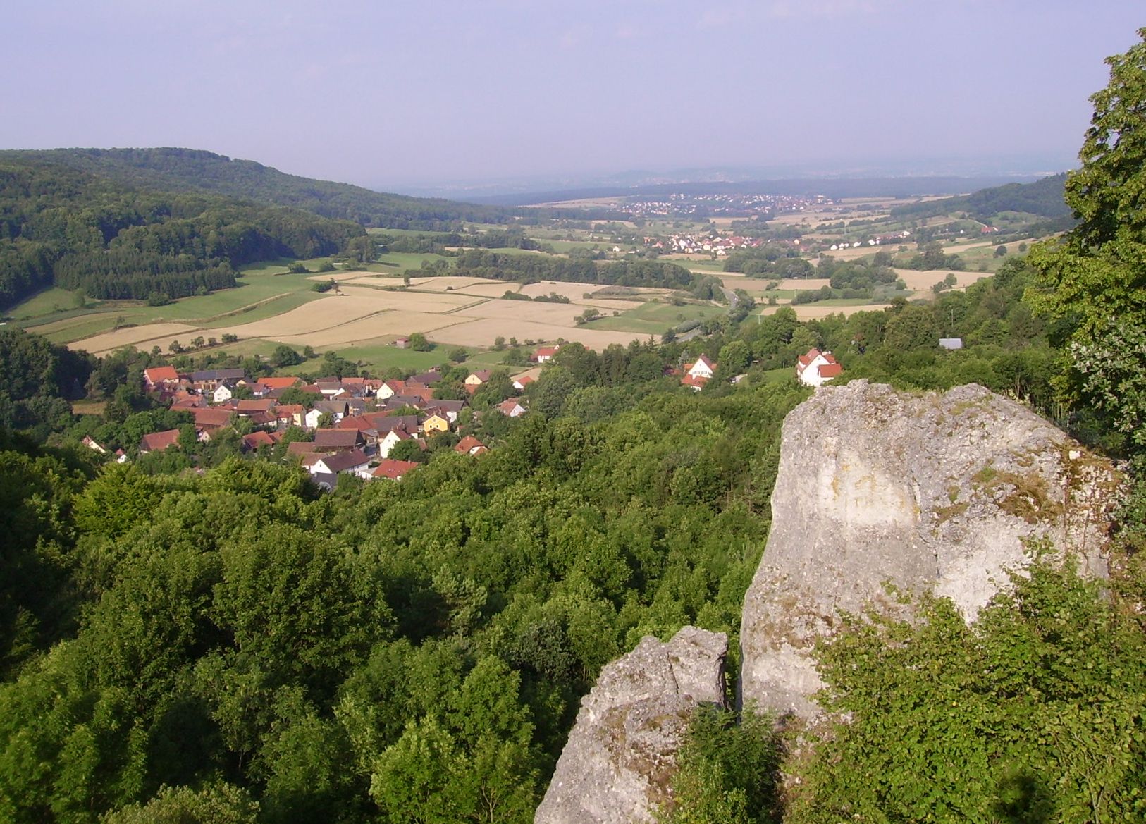
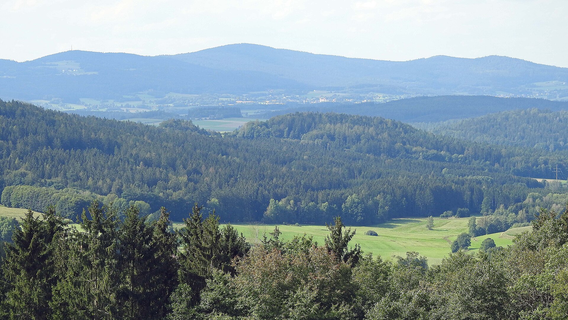
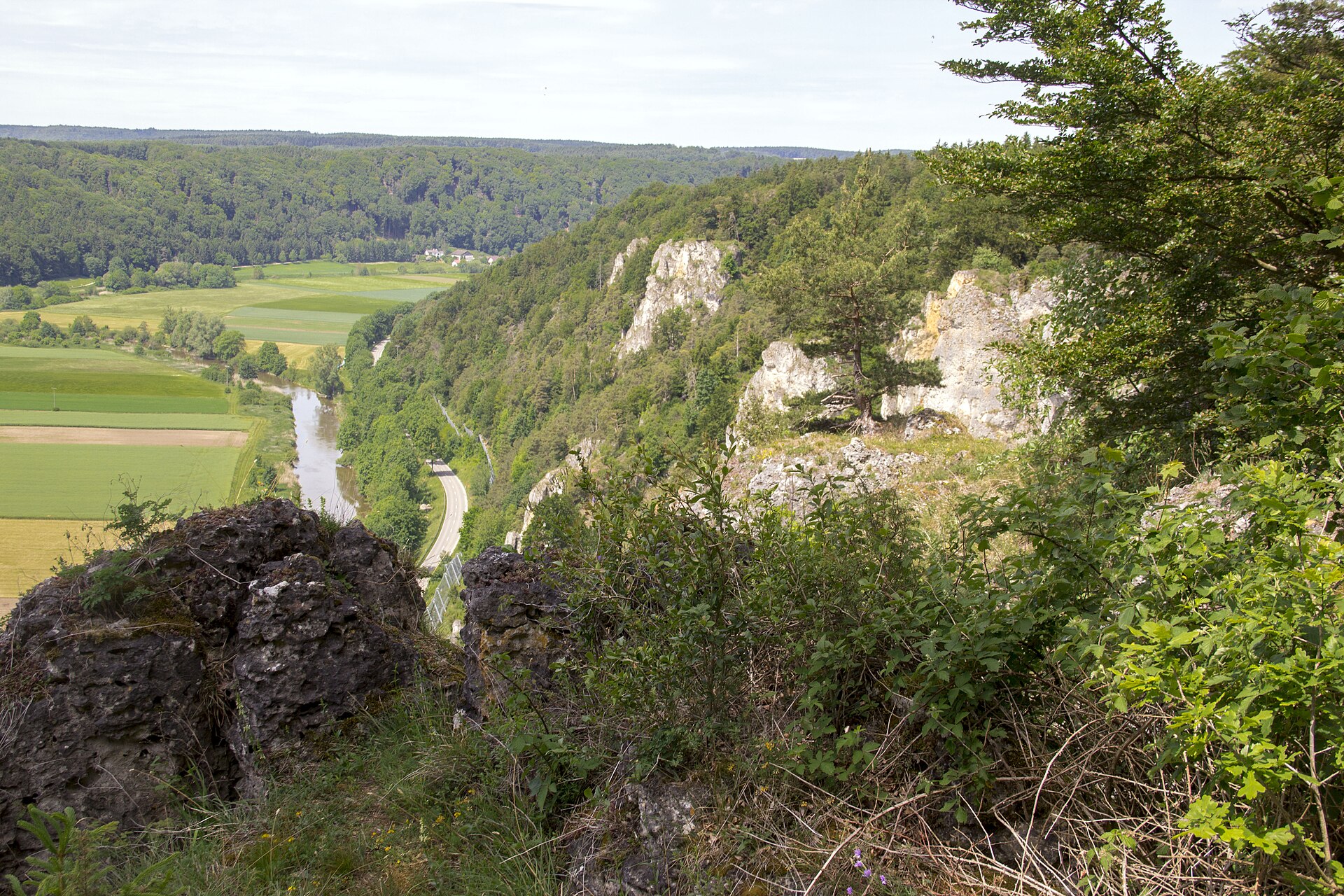
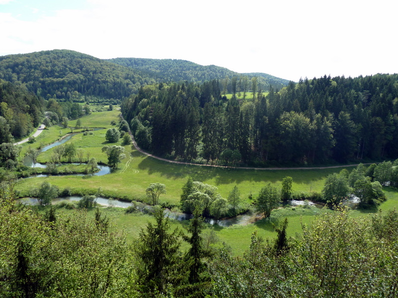
A terrestrial area, with forests.
What rocks lie beneath Hirschwald Nature Park?
According to the European 1:1 million geological map (EGDI), the bedrock consists mainly of marly limestones (63% of sampled points) and limestones (38%). These are mostly sedimentary rocks. The geological units date mainly from the Jurassic (63% of sampled points).
What is the highest point of Hirschwald Nature Park?
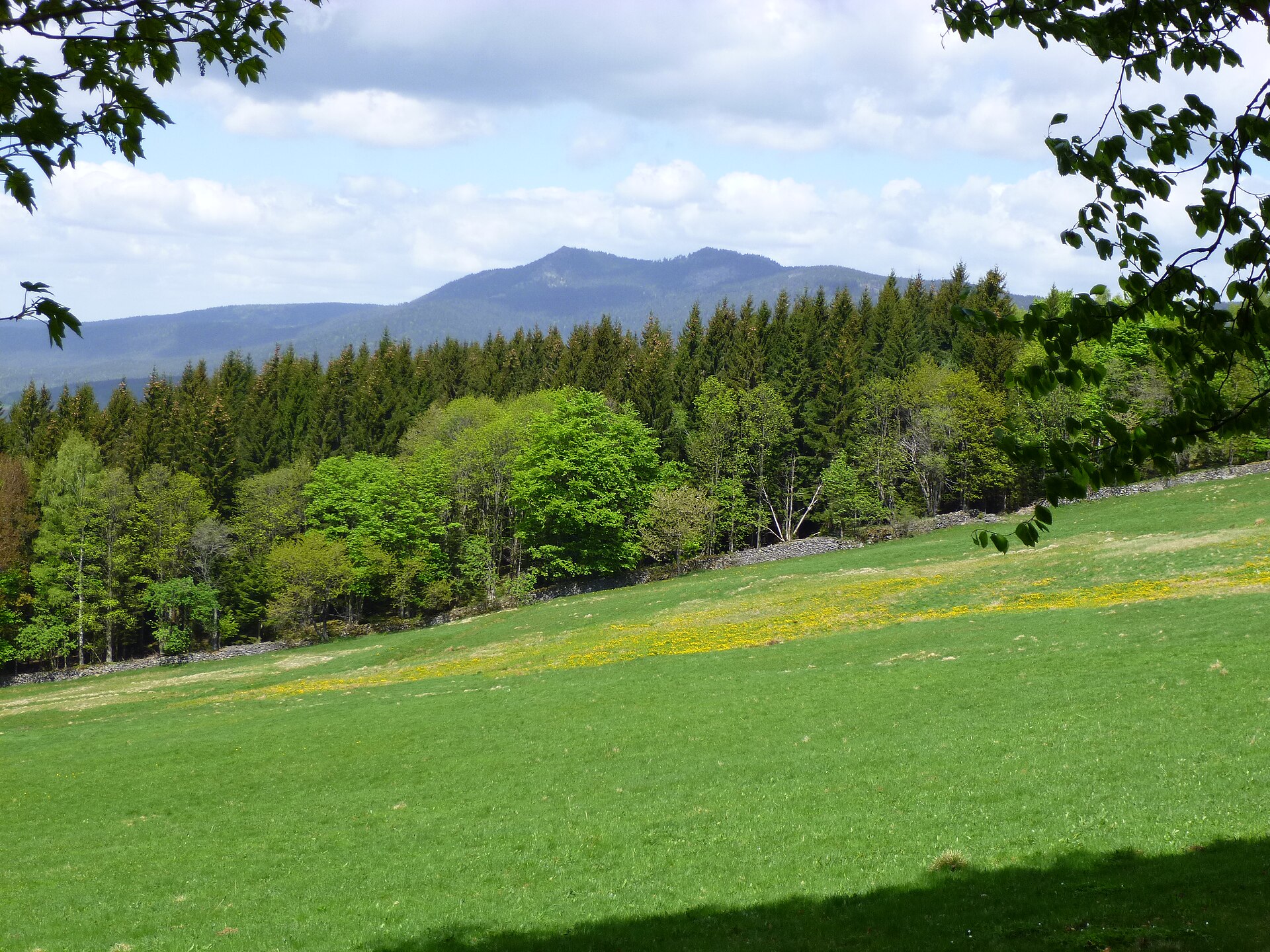
Kalvariberg, at 581 m (OpenStreetMap).
What are the main summits of Hirschwald Nature Park?
Kalvariberg (581 m), Dietlberg (555 m), Scharfenberg (539 m), Königsberg (504 m) and Schallerberg (503 m) (OpenStreetMap).
Which international labels apply to Hirschwald Nature Park?
Natura 2000 network (3 sites).
When is the best time to visit Hirschwald Nature Park?
Mildest period: from June to August, with average temperatures of 17 to 19 °C.
Is there snow in Hirschwald Nature Park?
Yes. According to NASA's MODIS satellites (2015–2025 average), snow covers most of the site in December, and until January on higher ground, with about 45 snow-covered days a year on average.
What is there to see in Hirschwald Nature Park?
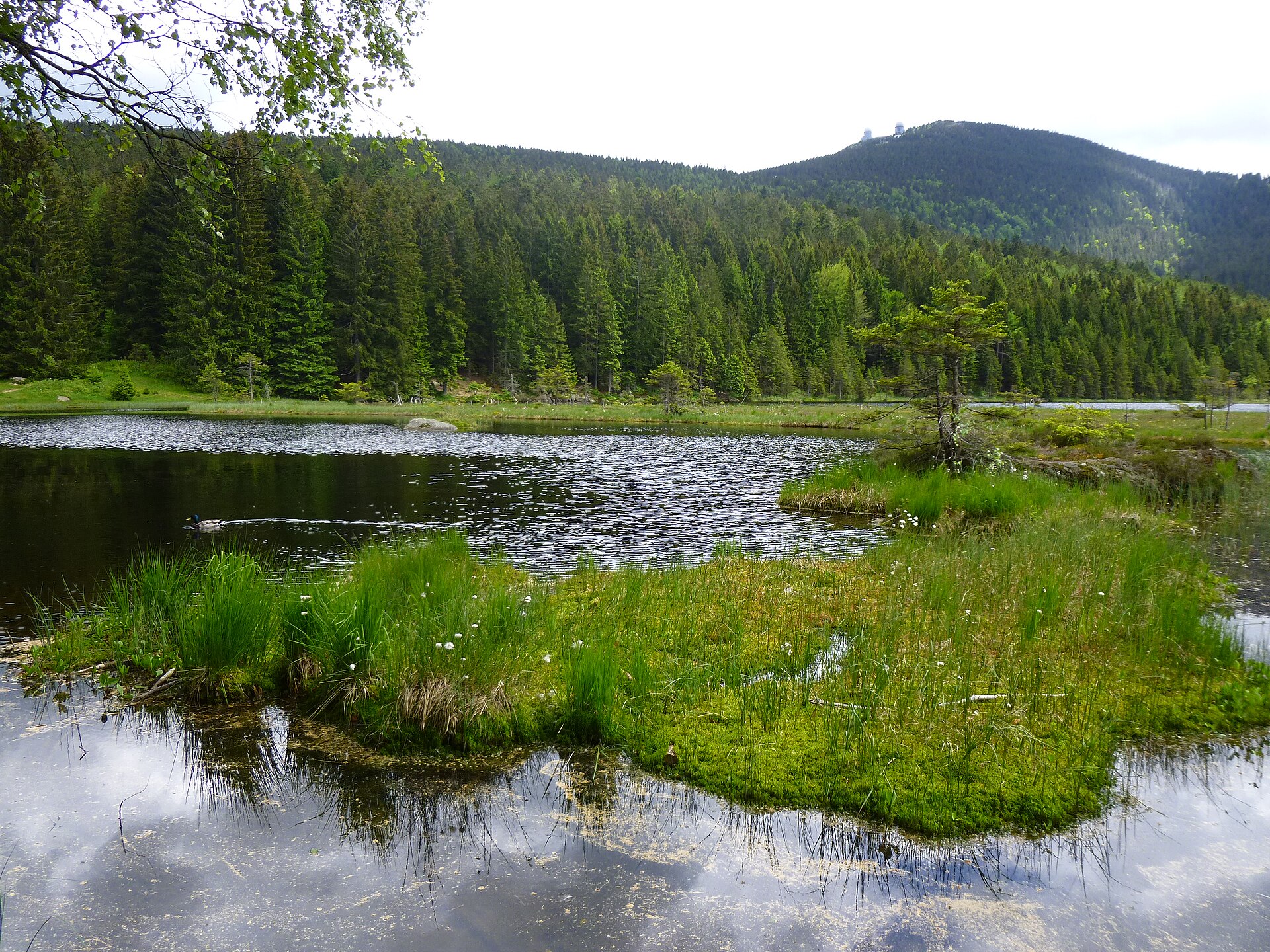
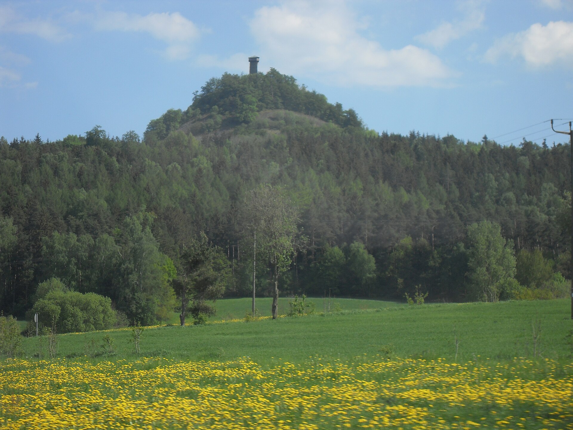
10 viewpoints, 3 lakes and ponds and 4 caves, including Aussichtspunkt Theilberg, Froschweiher, Angerberghöhle and Juradistl-Landschaftskino (OpenStreetMap).
Where can I stay in Hirschwald Nature Park?
4 campsites, including Am alten Bahnhof Kastl, Campingplatz Rieden and Pfadfinderhaus in Kastl (OpenStreetMap).
What is the nearest large city to Hirschwald Nature Park?
Nearest towns of over 50,000 people, as the crow flies: Regensburg (24 km) and Nuremberg (41 km). Nearest airport: Nuremberg (NUE), about 42 km away.
How can I reach Hirschwald Nature Park by train?
The nearest railway station is Amberg, less than 1 km from the site boundary.
Are there waymarked hiking trails in Hirschwald Nature Park?
Yes. Waymarked hiking routes listed in OpenStreetMap: 48, including Wanderweg Jakobsweg Tillyschanz > Nürnberg, Abschnitt Ensdorf, Jurasteig Hauptroute, Anton-Leidinger-Weg and Östlicher Albrandweg Sulzbach-Rosenberg. The “JuS · Jurasteig Hauptroute” route runs for about 43 km through the site, with some 920 m of ascent on its longest section.
Which species can be seen in Hirschwald Nature Park?
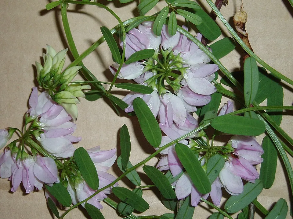
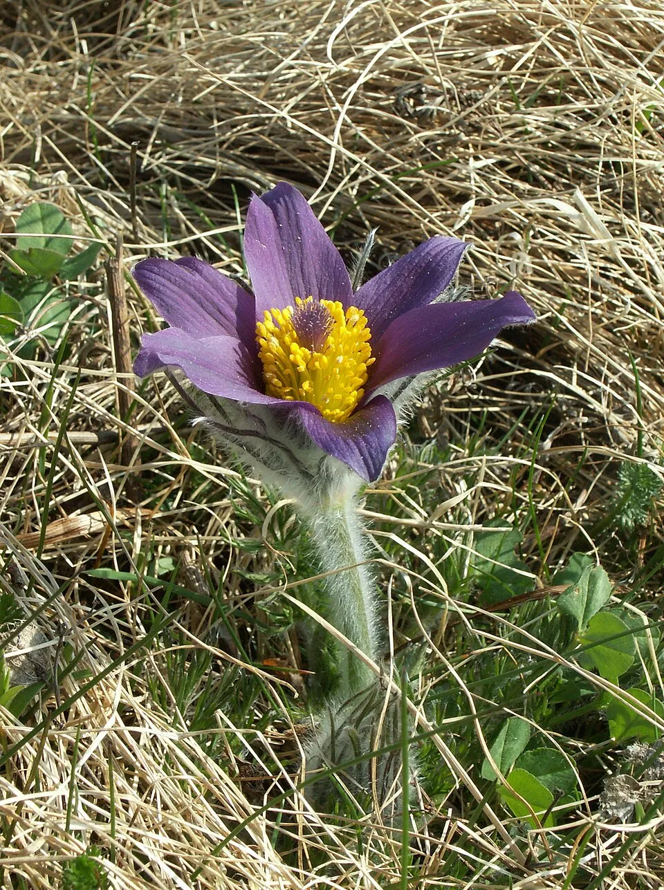
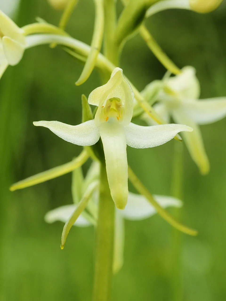
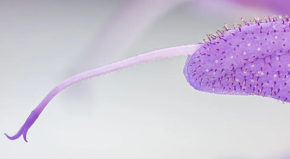
Among the species most often recorded on GBIF are Coronilla varia (Crown Vetch), Pulsatilla vulgaris (Pasque Flower), Platanthera bifolia (Lesser butterfly-orchid) and Salvia pratensis (Meadow clary).
© OpenStreetMap
Download the boundary: GeoJSON · GPX Boundary © OpenStreetMap contributors (ODbL).
Geography
The representative point of the site lies at around 463 m above sea level. Over the 1996–2025 period, the mean annual temperature is about 9.1 °C and total precipitation reaches roughly 829 mm per year. The warmest month is usually July, the coolest January, and the wettest July. According to the European 1:1 million geological map (EGDI), the bedrock consists mainly of marly limestones (63% of sampled points) and limestones (38%). These are mostly sedimentary rocks. The geological units date mainly from the Jurassic (63% of sampled points).
Area
- Area
- 27,759 ha
- Elevation
- 463 m
- Median elevation
- 464 m
- Mean slope
- 6°
- Snow cover
- ≈ 45 days a year
- Coordinates
- 49.3672, 11.8719
Terrain: Mapzen Terrain Tiles (SRTM, USGS)
Bedrock
- Marly limestones 63 %
- Limestones 38 %
Sedimentary rocks 100 % · Main age: Jurassic (63%)
Source: EGDI 1:1M geological map (EuroGeoSurveys and national geological surveys), CC BY 4.0 · 16 sampled points within the site.
Main summits
- Kalvariberg581 m
- Dietlberg555 m
- Scharfenberg539 m
- Königsberg504 m
- Schallerberg503 m
- Brunnberg502 m
- Berg498 m
- Eggenberg480 m
- Hohe Fichte477 m
- Jesuitenspitze477 m
Data © OpenStreetMap contributors (ODbL)
Climate
● Mean temperature (°C) · ▮ Precipitation (mm)
Source: Copernicus ERA5-Land (C3S, doi:10.24381/cds.68d2bb30), monthly averages 1996–2025 interpolated to the representative point, temperatures adjusted for elevation.
Contains modified Copernicus Climate Change Service information 2026. Neither the European Commission nor ECMWF is responsible for any use that may be made of the Copernicus information or data it contains.
Snow cover measured by satellite
J
F
M
A
M
J
J
A
S
O
N
D
average share of the site under snow · snowiest parts · ≈ 45 days a year
Snow cover: MODIS/Terra MOD10CM v61 (Hall & Riggs, 2021, NASA NSIDC DAAC, doi:10.5067/MODIS/MOD10CM.061), imagery from NASA GIBS (ESDIS); 2015–2025 average, grid of about 5 km.
Natural habitats
According to CORINE Land Cover (2018), the site is mainly made up of forests (51%), farmland (31%) and grassland and meadows (13%). Woodland is mostly coniferous. Elevation ranges from about 370 m to 581 m (highest point: Kalvariberg). The 3 Natura 2000 sites overlapping the area list 15 habitats of European interest (3 priority), the most extensive being lowland hay meadows (Alopecurus pratensis, Sanguisorba officinalis), alluvial forests with Alnus glutinosa and Fraxinus excelsior (Alno-Padion, Alnion incanae, Salicion albae) and semi-natural dry grasslands and scrubland facies on calcareous substrates (Festuco-Brometalia) (* important orchid sites).
Biodiversity
Based on occurrences aggregated by GBIF, several species are regularly recorded within the site. Among the most frequent are Coronilla varia (Crown Vetch), Pulsatilla vulgaris (Pasque Flower), Platanthera bifolia (Lesser butterfly-orchid) and Salvia pratensis (Meadow clary). The full list of documented taxa is shown below. The overlapping Natura 2000 sites list 16 species of European interest: 3 mammals, 2 reptiles, 5 amphibians, 3 fish, 2 invertebrates and 1 plant.
Habitats of European interest
From the official forms of the 3 Natura 2000 sites overlapping the area (areas reported for each whole site).
- Lowland hay meadows (Alopecurus pratensis, Sanguisorba officinalis) 101 ha
- Alluvial forests with Alnus glutinosa and Fraxinus excelsior (Alno-Padion, Alnion incanae, Salicion albae) priority 59 ha
- Semi-natural dry grasslands and scrubland facies on calcareous substrates (Festuco-Brometalia) (* important orchid sites) 36 ha
- Water courses of plain to montane levels with the Ranunculion fluitantis and Callitricho-Batrachion vegetation 31 ha
- Hydrophilous tall herb fringe communities of plains and of the montane to alpine levels 15 ha
- Juniperus communis formations on heaths or calcareous grasslands 12 ha
- Natural eutrophic lakes with Magnopotamion or Hydrocharition-type vegetation 7 ha
- Galio-Carpinetum oak-hornbeam forests 7 ha
and 7 more
Species of European interest
Mammals · 3
Eurasian Beaver (Castor fiber), Bechstein's bat (Myotis bechsteinii), Greater Horseshoe Bat (Rhinolophus ferrumequinum)
Amphibians · 5
Yellow-bellied toad (Bombina variegata), Common tree frog (Hyla arborea), Common Spadefoot (Pelobates fuscus), Agile frog (Rana dalmatina), Great crested newt (Triturus cristatus)
Fish · 3
European bullhead (Cottus gobio), European brook lamprey (Lampetra planeri), European bitterling (Rhodeus amarus)
Invertebrates · 2
Stone crayfish (Austropotamobius torrentium), Green snaketail (Ophiogomphus cecilia)
Source: Natura 2000 standard data forms (EEA, CC-BY 4.0). Not exhaustive: sensitive species are not published.
Species to look out for
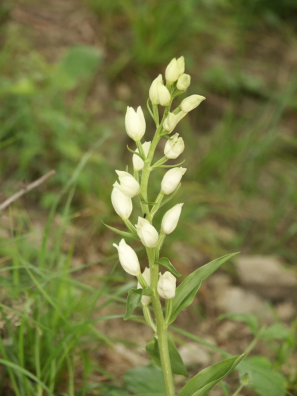
Observed species
Occurrences documented via GBIF; they are neither an exhaustive inventory nor proof of current presence.
- Crown Vetch · Coronilla varia · 339
- Pasque Flower · Pulsatilla vulgaris · 325
- Lesser butterfly-orchid · Platanthera bifolia · 309
- Meadow clary · Salvia pratensis · 299
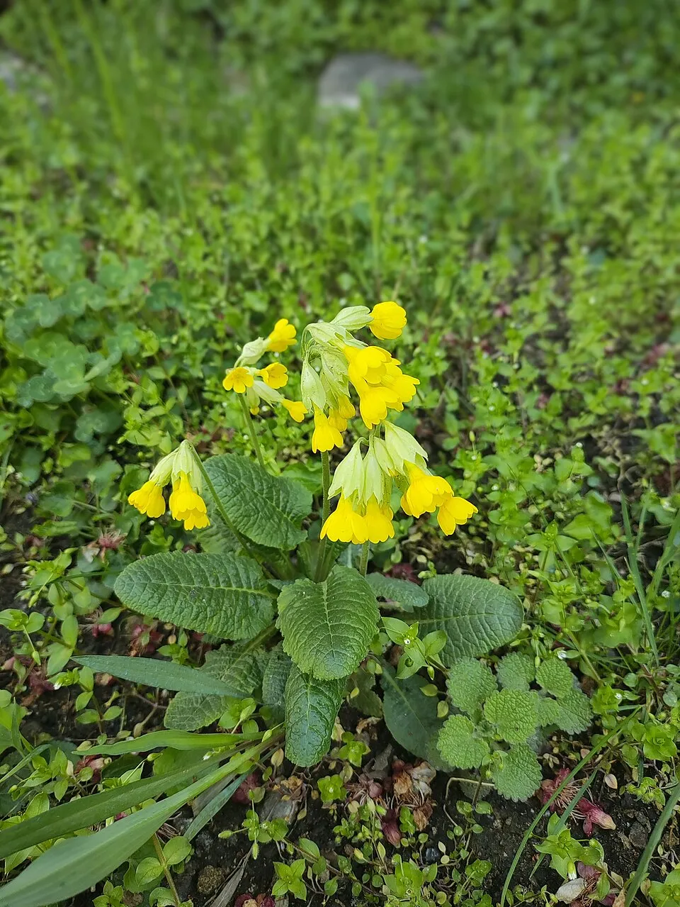
- Cowslip · Primula veris · 297
- White helleborine · Cephalanthera damasonium · 271
- Common rock-rose · Helianthemum nummularium · 271
- Dogwood · Cornus sanguinea · 269
- Dark red helleborine · Epipactis atrorubens · 268
- Greater knapweed · Centaurea scabiosa · 268
- Cypress Spurge · Euphorbia cyparissias · 267
- Carline thistle · Carlina vulgaris · 262
+18 more species
- Carthusian Pink · Dianthus carthusianorum · 258
- Wild Carrot · Daucus carota · 252
- Glaucous sedge · Carex flacca · 249
- Field scabious · Knautia arvensis · 247
- Small scabious · Scabiosa columbaria · 246
- Large-flowered selfheal · Prunella grandiflora · 244
- Field Maple · Acer campestre · 243
- Wall germander · Teucrium chamaedrys · 243
- Bird's-nest orchid · Neottia nidus-avis · 238
- Hairy violet · Viola hirta · 237
- Scots Pine · Pinus sylvestris · 235
- Fragrant orchid · Gymnadenia conopsea · 231
- Prairie Junegrass · Koeleria pyramidata · 230
- Wayfaring-tree · Viburnum lantana · 230
- Hazel · Corylus avellana · 229
- Pedunculate Oak · Quercus robur · 228
- Common twayblade · Neottia ovata · 224
- Daisy · Bellis perennis · 224
Records: GBIF.org (CC-BY). Names: Wikidata (CC0), GBIF. Photos: Wikimedia Commons.
Conservation challenges
The primary purpose of the site is to preserve its natural habitats and the biodiversity they support. The species recorded (Biodiversity tab) reflect its ecological value. The designations it holds frame its management and the control of land use.
According to Global Forest Change data (University of Maryland, Global Forest Watch), about 804 ha of tree cover were lost within the boundary between 2001 and 2023 (3% of its area), peaking in 2021 and 2022. These losses include logging, storms and fires, and do not account for regrowth. According to CORINE Land Cover, land cover here remained almost unchanged between 1990 and 2018 (less than 0.5% of the area affected); only some 124 ha were built over. At night, 6% of the area gives off artificial light detectable from space (NASA VIIRS Black Marble composite, 2016). Built-up and developed land (buildings, business areas, roads, quarries) covers 5% of the area, and farmland 31% (CORINE Land Cover). According to the Natura 2000 forms, of 15 assessed habitats of European interest, 2 are in excellent condition and 2 in average or reduced condition. According to the Water Framework Directive assessment (2022 river basin management plans, data 2018–2019), none of the 96 km of rivers assessed within the site reaches good ecological status; they mostly have moderate ecological status. Since 2000, 40 invasive alien species have been recorded within the site (GBIF observations), 7 of them listed as of Union concern under EU Regulation 1143/2014. Among them: Ondatra zibethicus (Muskrat), Impatiens glandulifera (Himalayan Balsam) and Alopochen aegyptiaca (Egyptian Goose).
Pressure indicators
Tree cover lost
804 ha
2001–2023 · 3% of the area
20012023
Fires since 2016
0
No large fire mapped (fires over about 30 ha)
Light at night
6%
of the area gives off artificial light visible from space
DarkLit
Built-up land
5%
buildings, business areas, roads, quarries · farmland 31%
Land cover change
< 0.5%
of the area changed, 1990–2018 · CORINE
Rivers and lakes
0%
of the 96 km of assessed rivers in good or high ecological status · WFD 2022
assessments 2018–2019
Invasive alien species
40
incl. 7 of EU concern · since 2000
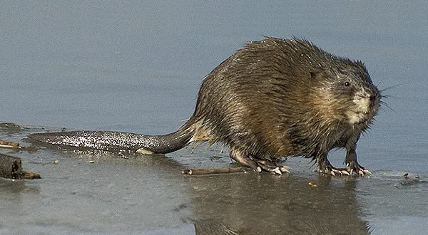 MuskratEU
 Himalayan BalsamEU
 Egyptian GooseEU
 Giant HogweedEU
 Japanese KnotweedEU
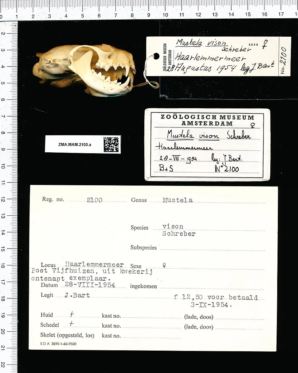 American minkEU
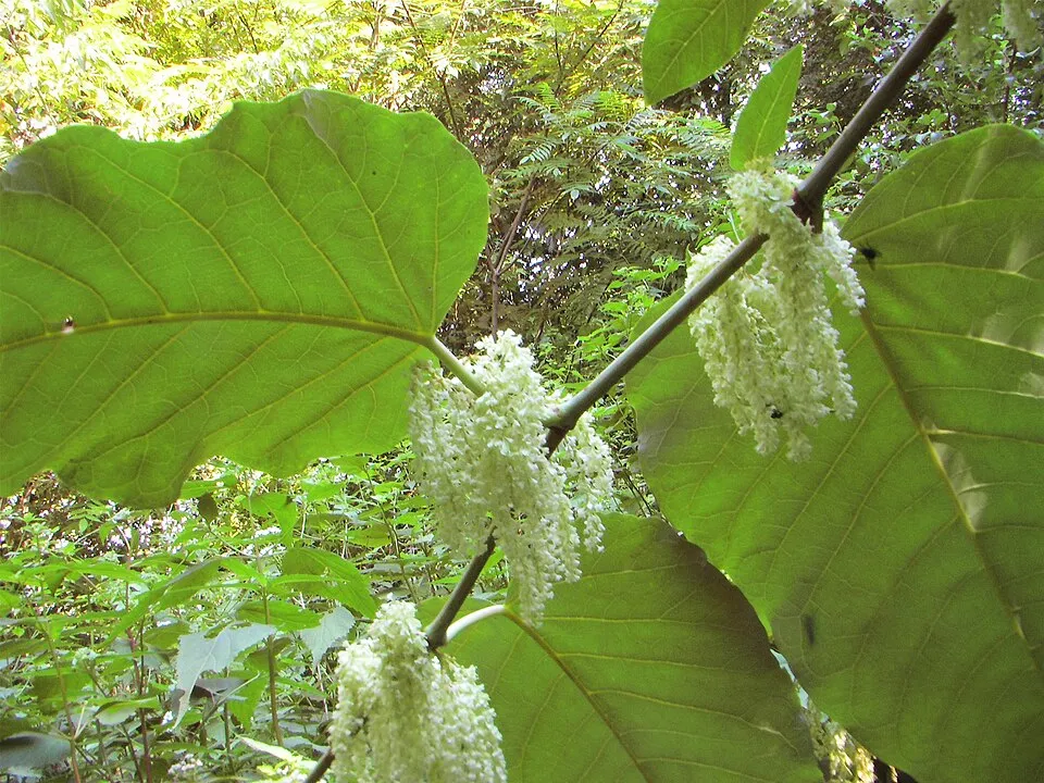 Giant KnotweedEU
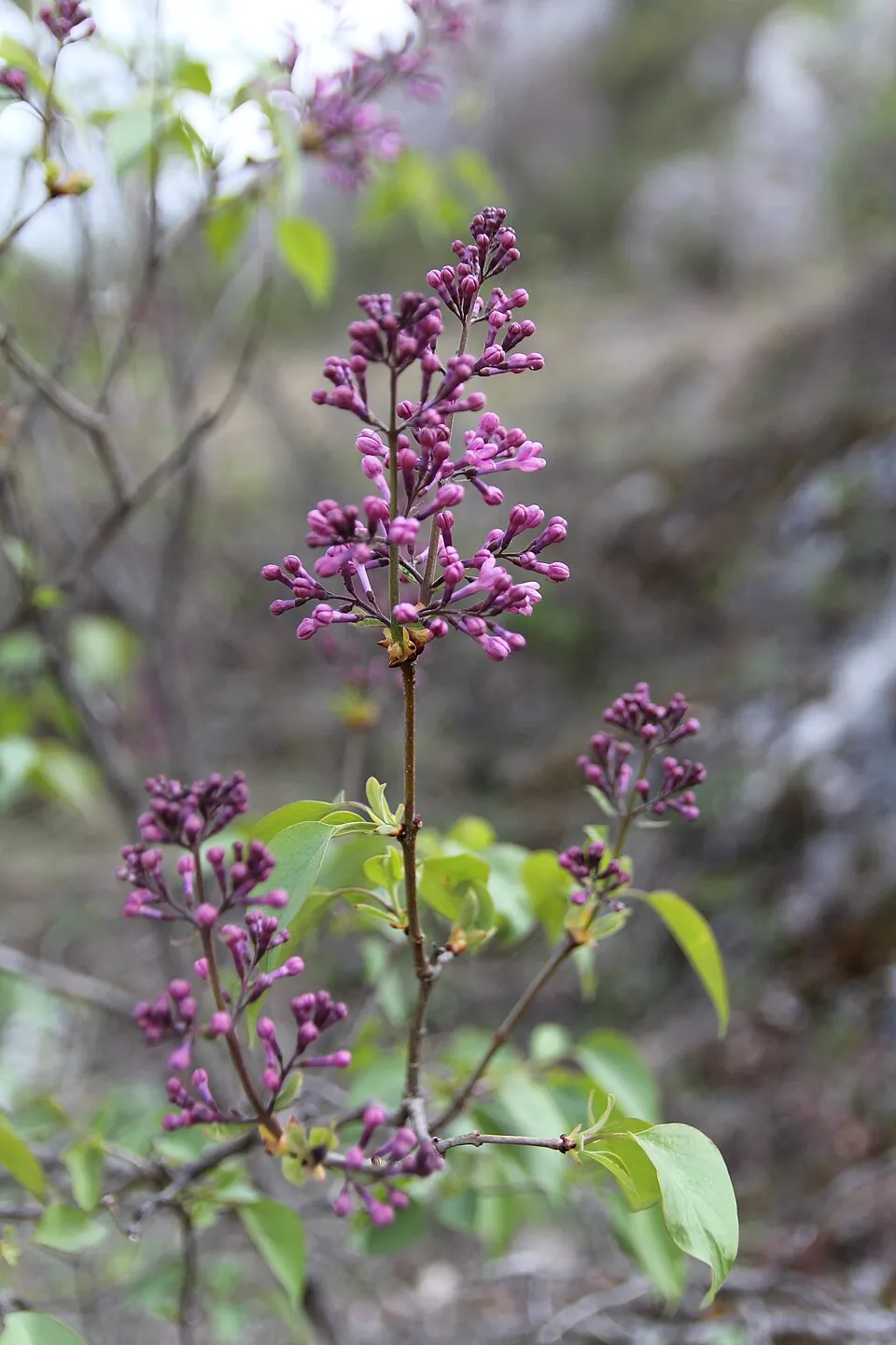 Common Lilac
Photos: Muskrat © David Menke · Public domain; Himalayan Balsam © Guptaele · CC BY-SA 4.0; Egyptian Goose © Rhododendrites · CC BY-SA 4.0; Giant Hogweed © anastasiiamerkulova · CC BY 4.0; Japanese Knotweed © W.carter · CC0-1.0; American mink © Schreber · CC0-1.0; Giant Knotweed © Velocicaptor · Public domain; Common Lilac © Aporia.j · CC BY-SA 4.0
Sources: Global Forest Change (Hansen et al., University of Maryland, via Global Forest Watch, CC-BY 4.0); EFFIS, European Commission / Copernicus; NASA Black Marble 2016 (public domain); CORINE Land Cover 2018 (Copernicus) or MODIS.
CORINE Land Cover Change 1990–2018: generated using European Union's Copernicus Land Monitoring Service information (EEA), aggregated by Parkavela; DOI 10.2909/f30f1000-7cf8-43bb-872c-5eb093911b24.
Ecological status of water bodies: European Environment Agency, WISE – Water Framework Directive, 3rd river basin management plans (2022), CC BY 4.0. Official national classification, not comparable between countries.
Invasive alien species: Global Register of Introduced and Invasive Species (ISSG, CC BY 4.0); Union list, Regulation (EU) 1143/2014 (INBO, CC0); GBIF.org records (CC0 / CC BY 4.0), at least 2 per species.
Practical information
Cities and airport
- Regensburg
24 km as the crow flies - Nuremberg
41 km as the crow flies - Airport: Nuremberg (NUE)
42 km as the crow flies
Things to see
10 viewpoints · 3 lakes and ponds · 4 caves
- Aussichtspunkt Theilberg
viewpoint - Froschweiher
lake or pond - Angerberghöhle
cave - Juradistl-Landschaftskino
viewpoint - Postweiher
lake or pond
Where to stay
4 campsites
- Am alten Bahnhof Kastl
campsite - Campingplatz Rieden
campsite - Pfadfinderhaus in Kastl
campsite - Wohnmobilstellplatz Schießstätteweg - Amberg
campsite
Hiking
48 waymarked routes listed, including:
Wanderweg Jakobsweg Tillyschanz > Nürnberg, Abschnitt EnsdorfJurasteig HauptrouteAnton-Leidinger-WegÖstlicher Albrandweg Sulzbach-RosenbergGelbkreuz (Erzweg Birgland Schlaufe)Erzweg, Etappe
By bike
EUEG2 Euregio-Egrensis-Radfernweg Bayern-Böhmen (DE+CZ) superroute · 50 kmFFR Fünf-Flüsse-Radweg (Hauptweg) · 27 km
+ 12 local loops
Signed cycle routes: this does not mean that cycling is allowed on footpaths.
Wheelchair access
- Zur Wiege
path
accessible toilets: 6
Reported by OpenStreetMap contributors (ODbL); check with the park before visiting.
Data © OpenStreetMap contributors (ODbL) · Wikidata (CC0)
Routes © OpenStreetMap contributors (ODbL), via Waymarked Trails
Waymarked hiking routes
011 Wanderweg Jakobsweg Tillyschanz > Nürnberg, Abschnitt Ensdorf - Stein
37.3 km within the site ↗ 713 m↘ 547 m 364–586 m
JuS Jurasteig Hauptroute
42.5 km within the site ↗ 922 m↘ 842 m 356–586 m
Östlicher Albrandweg Sulzbach-Rosenberg - Kallmünz (Teil 4)
35.7 km within the site ↗ 501 m↘ 425 m 356–510 m
Gelbkreuz (Erzweg Birgland Schlaufe)
8.8 km within the site ↗ 244 m↘ 257 m 426–586 m
Tracks © OpenStreetMap contributors (ODbL), clipped to the boundary; elevation gain and profiles computed on the longest section from Mapzen Terrain Tiles (≈ 30 m), indicative only.
Access and visiting
The nearest railway station is Amberg, less than 1 km from the site boundary. Nearest towns of over 50,000 people, as the crow flies: Regensburg (24 km) and Nuremberg (41 km). Nearest airport: Nuremberg (NUE), about 42 km away. About 360,000 people live within 20 km of the site boundary, 120,000 of them within 10 km; some 37,000 people are estimated to live inside (GHSL estimate, 2020). Waymarked hiking routes listed in OpenStreetMap: 48, including Wanderweg Jakobsweg Tillyschanz > Nürnberg, Abschnitt Ensdorf, Jurasteig Hauptroute, Anton-Leidinger-Weg and Östlicher Albrandweg Sulzbach-Rosenberg. The site is crossed by 2 signed cycle routes: “EUEG2 Euregio-Egrensis-Radfernweg Bayern-Böhmen (DE+CZ) superroute” and “FFR Fünf-Flüsse-Radweg (Hauptweg)” (OpenStreetMap). OpenStreetMap contributors list one wheelchair-accessible place: Zur Wiege; check with the park before visiting. To see: 10 viewpoints, 3 lakes and ponds and 4 caves, including Aussichtspunkt Theilberg, Froschweiher, Angerberghöhle and Juradistl-Landschaftskino. Where to stay: 4 campsites, including Am alten Bahnhof Kastl, Campingplatz Rieden and Pfadfinderhaus in Kastl. To plan a visit (access, opening periods, visitor rules), it is best to consult the official information from the managing body and the official website listed in this page's sources.
Source: OpenStreetMap (ODbL), Wikidata (CC0), October 2026.
When to visit
Mildest period: from June to August, with average temperatures of 17 to 19 °C. Average temperatures drop below 0 °C in January: frost is common. According to NASA's MODIS satellites (2015–2025 average), snow covers most of the site in December, and until January on higher ground, with about 45 snow-covered days a year on average. Day length ranges from about 8 h 11 min in December to 16 h 14 min in June. Wildlife records published on GBIF peak for birds (January), plants (June and July), butterflies and moths (July), dragonflies (September) and mammals (from December to April). These peaks also reflect when observers are most active.
Source: Copernicus ERA5-Land (C3S), monthly averages 1996–2025 at the representative point, temperatures adjusted for elevation.
Contains modified Copernicus Climate Change Service information 2026. Neither the European Commission nor ECMWF is responsible for any use that may be made of the Copernicus information or data it contains.
Wildlife records calendar
JFMAMJJASOND
Birds
Plants
Butterflies & moths
Dragonflies
Mammals
Monthly records published on GBIF (CC-BY), relative to the busiest month; also reflects observer activity.
Gallery
© Muscardinus · CC BY-SA 3.0
© Conny T. · CC BY-SA 4.0
© Nphw92266 · CC BY-SA 4.0
© DALIBRI · CC BY-SA 4.0
© Siegmar S. · CC BY-SA 3.0
© AnKobs · CC BY-SA 4.0
Sources and licences
- Wikidata: Q871543
- OpenStreetMap: relation 4470402
- Wikipedia: fr.wikipedia.org/wiki/Parc_naturel_de_Hirschwald
References
- cds.climate.copernicus.eu: climate · CC-BY-4.0
- registry.opendata.aws: elevation of the reference point, detailed relief · PD
- land.copernicus.eu: land cover, land cover change, sea share · COPERNICUS
- doi.org: population around the site · CC-BY-4.0
- wikidata.org: official area, establishment date, nearby cities and airport, access and peaks, lake depths, places to see · CC0-1.0
- eea.europa.eu: bathing water quality, ecological status of waters · CC-BY-4.0
- en.eurovelo.com: EuroVelo cycle routes · ODbL-1.0
- cycling.waymarkedtrails.org: cycle routes · ODbL-1.0
- opentopodata.org: elevations · PD
- forest-fire.emergency.copernicus.eu: wildfires · COPERNICUS
- globalforestwatch.org: tree cover loss · CC-BY-4.0
- gbif.org: seasonality of sightings, invasive alien species, observed species · CC-BY-4.0
- europe-geology.eu: geology · CC-BY-4.0
- hydrosheds.org: lakes · CC-BY-4.0
- natura2000.eea.europa.eu: Natura 2000 habitats and species · CC-BY-4.0
- openstreetmap.org: official name, access and peaks, places to see, trail difficulty, wheelchair access · ODbL-1.0
- earthobservatory.nasa.gov: night light · PD
- hiking.waymarkedtrails.org: route difficulty · ODbL-1.0
- nsidc.org: snow cover · PD
- wikidata.org: Wikipedia article · CC-BY-SA-4.0
Data © OpenStreetMap contributors (ODbL), Wikidata (CC0) and the sources cited.