Slovakia · Terrestrial
Kysuce Protected Landscape Area
Protected landscape area of 65,462 hectares in Slovakia, established in 1984.
Overview
Protected landscape area of 65,462 hectares in Slovakia, established in 1984.
Kysuce Protected Landscape Area is located in Slovakia (Europe). It is a predominantly terrestrial area. Established in 1984, it covers about 65,462 hectares.
Protections and designations
Natura 2000 · habitats (SAC) · 16 sites
- Bystrické sihly SKUEV0647
- Čertov SKUEV0102
- Chmúra SKUEV0289
- Javornícky hrebeň SKUEV0642
- Klokočovské rašeliniská SKUEV0101
- Kolárovické lúky SKUEV0839
- and 10 more
Designated as a protected landscape area. International labels and designations: Natura 2000 network (16 sites). Key dates: established in 1984 and first Natura 2000 site under the Habitats Directive in 2004.
In our collections
Timeline
-
1984
Established
-
2004
First Natura 2000 site under the Habitats Directive 13 such sites designated up to 2011
Sources: Wikidata (CC0) for establishment and international labels; EEA Natura 2000 database (CC-BY 4.0) for site designation dates.
Frequently asked questions
Where is Kysuce Protected Landscape Area?
In Slovakia (Europe). Representative point: 49.4167° N, 18.9500° E.
How large is Kysuce Protected Landscape Area?
About 65,462 hectares (655 km²). It is the 2nd largest of the 14 protected landscape areas in Slovakia covered by Parkavela.
When was Kysuce Protected Landscape Area established?
In 1984.
What habitats and landscapes does Kysuce Protected Landscape Area include?
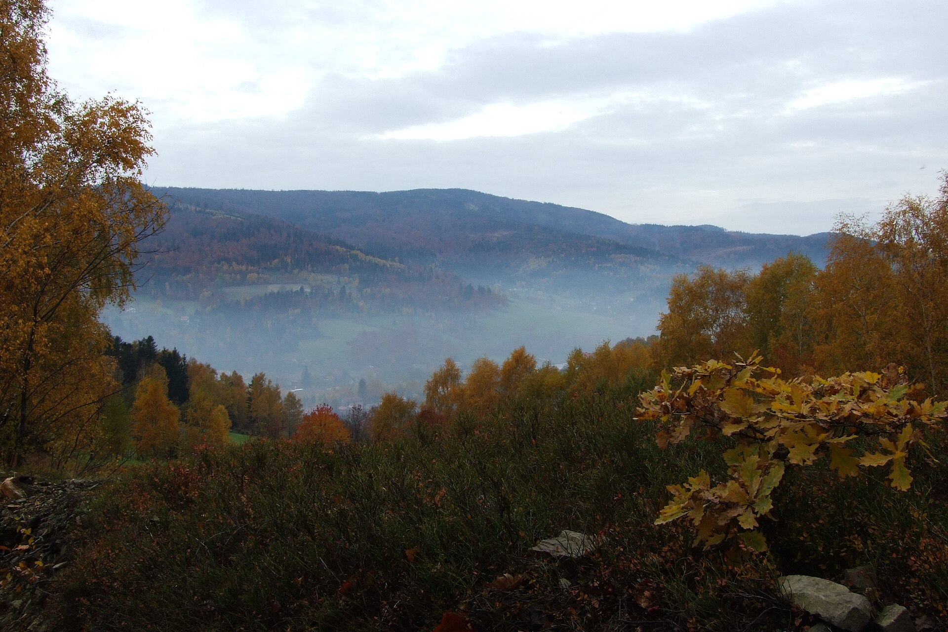
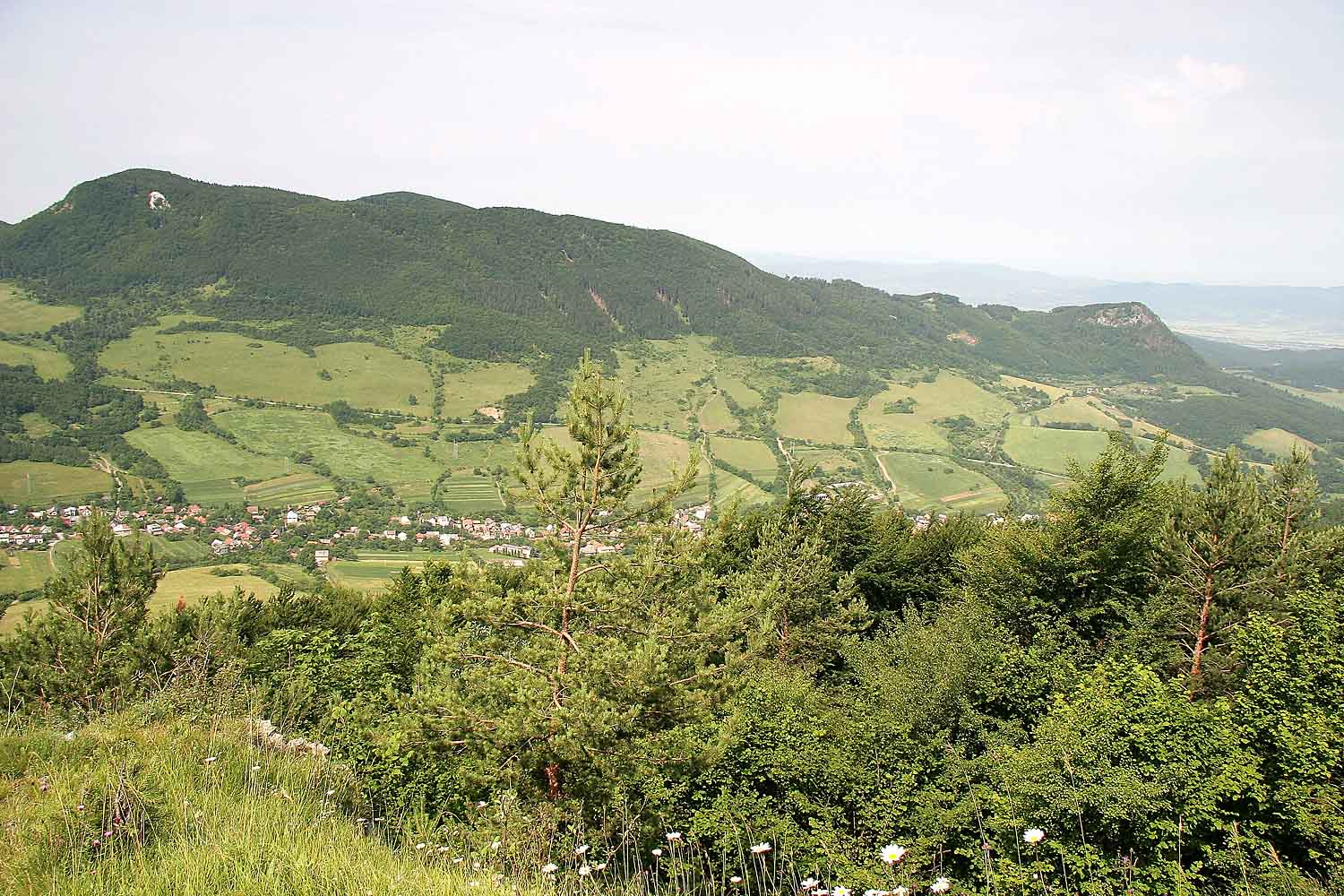
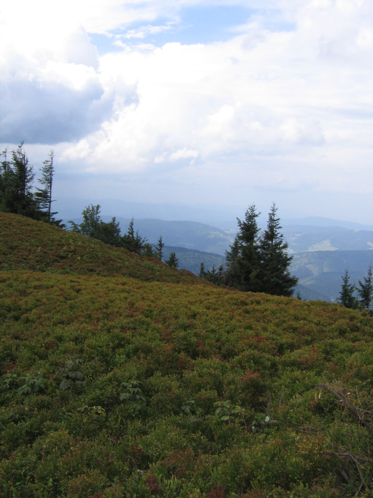
A terrestrial area, with forests and mountains.
What rocks lie beneath Kysuce Protected Landscape Area?
According to the European 1:1 million geological map (EGDI), the bedrock consists mainly of sandstones (75% of sampled points), mudstones (13%) and conglomerates and breccias (13%). These are mostly sedimentary rocks. The geological units date mainly from the Cenozoic (81% of sampled points).
What is the highest point of Kysuce Protected Landscape Area?
Javorinka, at 1,210 m (OpenStreetMap).
What are the main summits of Kysuce Protected Landscape Area?
Javorinka (1,210 m), Jaworzyna / Javorina (1,173 m), Okrúhlica (1,165 m), Malá Rača / Mała Racza (1,153 m) and Bugaj (1,140 m) (OpenStreetMap).
Which international labels apply to Kysuce Protected Landscape Area?
Natura 2000 network (16 sites).
When is the best time to visit Kysuce Protected Landscape Area?
Mildest period: from June to August, with average temperatures of 14 to 17 °C.
Is there snow in Kysuce Protected Landscape Area?
Yes. According to NASA's MODIS satellites (2015–2025 average), snow covers most of the site from December to February, with about 85 snow-covered days a year on average.
Where can I stay in Kysuce Protected Landscape Area?
Mountain hut Kmínek (Wikidata).
Are there historic monuments in Kysuce Protected Landscape Area?
Yes. According to Wikidata, 18 monuments listed in the Slovak register of national cultural monuments stand within the boundary. For example: “Kostol Narodenia Panny Márie” in Nová Bystrica, “Pomník padlým v II. sv. v.” in Lazy pod Makytou and “Socha sv. Jána Nepomuckého” in Stará Bystrica.
What is the nearest large city to Kysuce Protected Landscape Area?
Nearest towns of over 50,000 people, as the crow flies: Žilina (14 km) and Frýdek-Místek (25 km). Nearest airport: Leoš Janáček Airport Ostrava (OSR), about 38 km away.
How can I reach Kysuce Protected Landscape Area by train?
Makov railway station lies within the site.
Where can I get visitor information on site?
Turistické centrum pod Orlojom, RAČA-TIK and Medzinárodné informačné centrum.
Are there waymarked hiking trails in Kysuce Protected Landscape Area?
Yes. Waymarked hiking routes listed in OpenStreetMap: 103, including E 3, Cyrilometodějská stezka, Internationaler Bergwanderweg Eisenach and Via Slovakia (Makovský priesmyk. The “Via Slovakia (Makovský priesmyk - Drietoma)” route runs for about 27 km through the site, with some 550 m of ascent on its longest section.
Which species can be seen in Kysuce Protected Landscape Area?
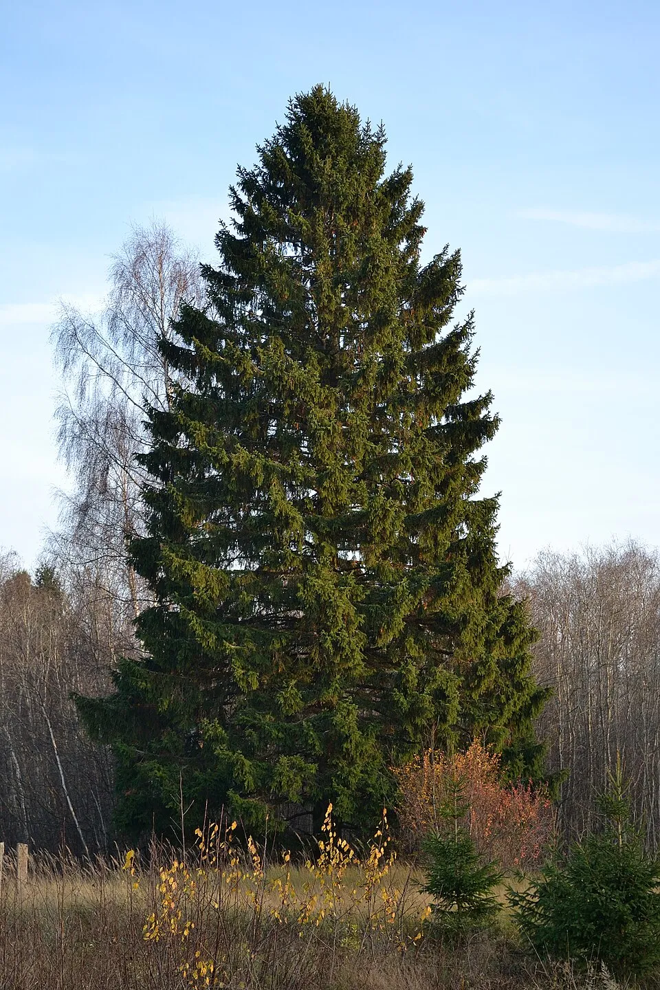
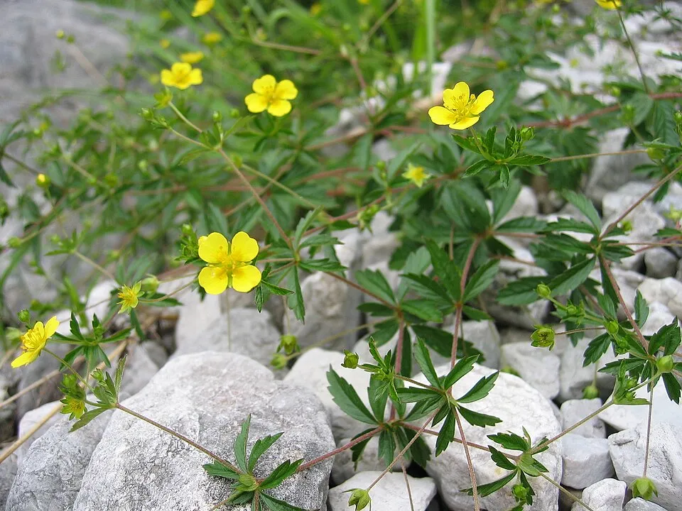
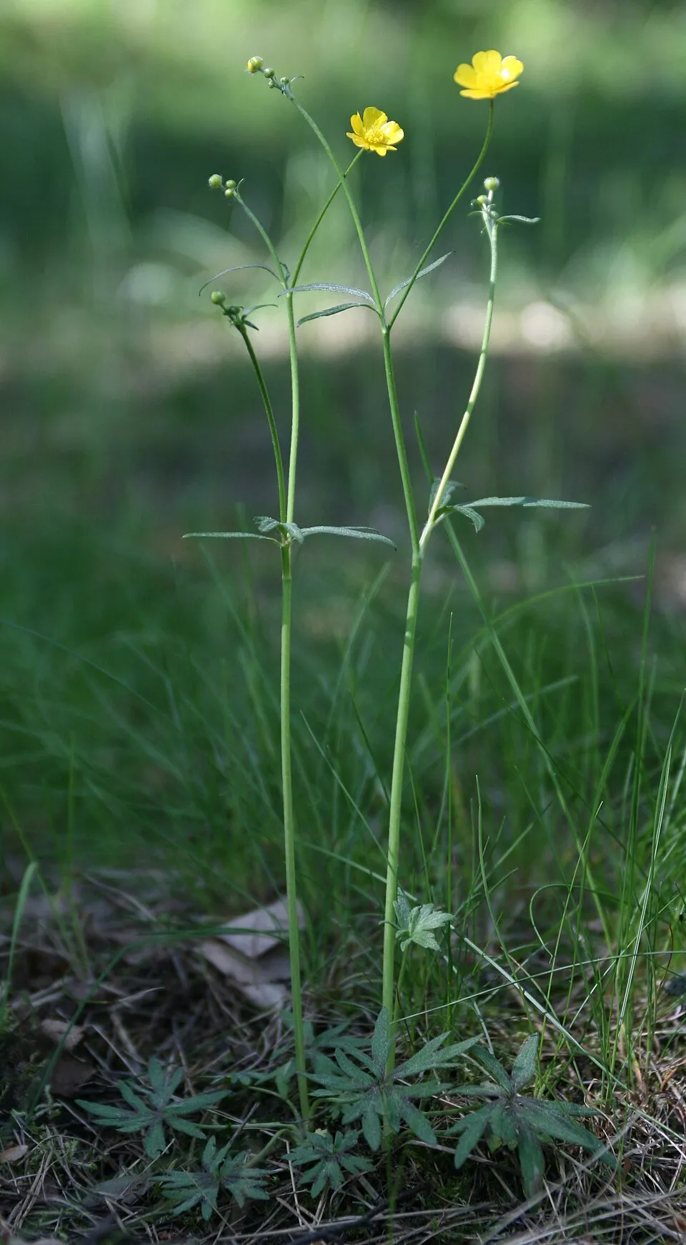
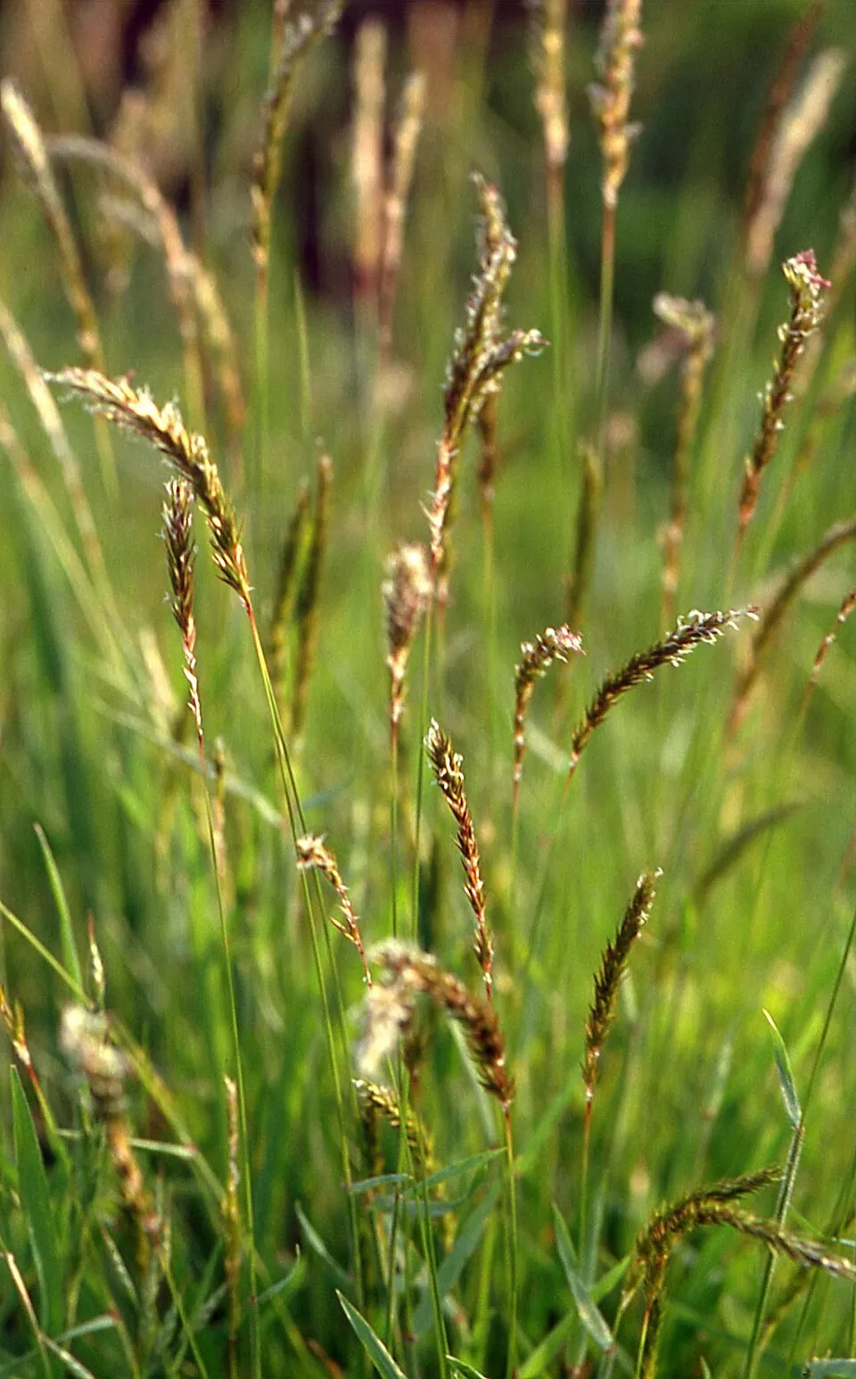
Among the species most often recorded on GBIF are Picea abies (Norway spruce), Potentilla erecta (Tormentil), Ranunculus acris (Meadow buttercup) and Anthoxanthum odoratum (Sweet vernalgrass).
What is the official website of Kysuce Protected Landscape Area?
© OpenStreetMap
Download the boundary: GeoJSON · GPX Boundary © OpenStreetMap contributors (ODbL).
Geography
The representative point of the site lies at around 821 m above sea level. Over the 1996–2025 period, the mean annual temperature is about 6.1 °C and total precipitation reaches roughly 1,121 mm per year. The warmest month is usually July, the coolest January, and the wettest July. According to the European 1:1 million geological map (EGDI), the bedrock consists mainly of sandstones (75% of sampled points), mudstones (13%) and conglomerates and breccias (13%). These are mostly sedimentary rocks. The geological units date mainly from the Cenozoic (81% of sampled points).
Area
- Area
- 65,462 ha
- Elevation
- 821 m
- Median elevation
- 714 m
- Mean slope
- 15°
- Snow cover
- ≈ 85 days a year
- Coordinates
- 49.4167, 18.95
Terrain: Mapzen Terrain Tiles (SRTM, USGS)
Bedrock
- Sandstones 75 %
- Mudstones 13 %
- Conglomerates and breccias 13 %
Sedimentary rocks 100 % · Main age: Cenozoic (81%)
Source: EGDI 1:1M geological map (EuroGeoSurveys and national geological surveys), CC BY 4.0 · 16 sampled points within the site.
Main summits
- Javorinka1,210 m
- Jaworzyna / Javorina1,173 m
- Okrúhlica1,165 m
- Malá Rača / Mała Racza1,153 m
- Bugaj1,140 m
- Májov / Majów1,134 m
- Javorina1,117 m
- Kykula / Kikula1,087 m
- Svítková1,082 m
- Talapkov Beskyd1,077 m
Data © OpenStreetMap contributors (ODbL)
Climate
● Mean temperature (°C) · ▮ Precipitation (mm)
Source: Copernicus ERA5-Land (C3S, doi:10.24381/cds.68d2bb30), monthly averages 1996–2025 interpolated to the representative point, temperatures adjusted for elevation.
Contains modified Copernicus Climate Change Service information 2026. Neither the European Commission nor ECMWF is responsible for any use that may be made of the Copernicus information or data it contains.
Snow cover measured by satellite
J
F
M
A
M
J
J
A
S
O
N
D
average share of the site under snow · snowiest parts · ≈ 85 days a year
Snow cover: MODIS/Terra MOD10CM v61 (Hall & Riggs, 2021, NASA NSIDC DAAC, doi:10.5067/MODIS/MOD10CM.061), imagery from NASA GIBS (ESDIS); 2015–2025 average, grid of about 5 km.
Natural habitats
According to CORINE Land Cover (2018), the site is mainly made up of forests (65%), heath and scrub (15%) and farmland (12%). Woodland is mostly coniferous. Elevation ranges from about 480 m to 1,210 m (highest point: Javorinka). Median elevation is 714 m, and 95% of the site lies above 500 m (SRTM elevation model). The 16 Natura 2000 sites overlapping the area list 17 habitats of European interest (5 priority), the most extensive being Asperulo-Fagetum beech forests, lowland hay meadows (Alopecurus pratensis, Sanguisorba officinalis) and Luzulo-Fagetum beech forests.
Biodiversity
Based on occurrences aggregated by GBIF, several species are regularly recorded within the site. Among the most frequent are Picea abies (Norway spruce), Potentilla erecta (Tormentil), Ranunculus acris (Meadow buttercup) and Anthoxanthum odoratum (Sweet vernalgrass). The full list of documented taxa is shown below. The overlapping Natura 2000 sites list 97 species of European interest: 78 birds, 6 mammals, 2 amphibians, 1 fish, 6 invertebrates and 4 plants.
Habitats of European interest
From the official forms of the 16 Natura 2000 sites overlapping the area (areas reported for each whole site).
- Asperulo-Fagetum beech forests 2,162 ha
- Lowland hay meadows (Alopecurus pratensis, Sanguisorba officinalis) 405 ha
- Luzulo-Fagetum beech forests 236 ha
- Medio-European subalpine beech woods with Acer and Rumex arifolius 201 ha
- Species-rich Nardus grasslands, on silicious substrates in mountain areas (and submountain areas in Continental Europe) priority 73 ha
- Alluvial forests with Alnus glutinosa and Fraxinus excelsior (Alno-Padion, Alnion incanae, Salicion albae) priority 47 ha
- Tilio-Acerion forests of slopes, screes and ravines priority 45 ha
- Acidophilous Picea forests of the montane to alpine levels (Vaccinio-Piceetea) 44 ha
and 9 more
Species of European interest
Birds · 78
Eurasian Goshawk (Accipiter gentilis), Eurasian Sparrowhawk (Accipiter nisus), Common Sandpiper (Actitis hypoleucos), Long-tailed Tit (Aegithalos caudatus), Boreal Owl (Aegolius funereus), Common Kingfisher (Alcedo atthis), Mallard (Anas platyrhynchos), Meadow Pipit (Anthus pratensis), Water Pipit (Anthus spinoletta), Tree Pipit (Anthus trivialis), Common Swift (Apus apus), Grey Heron (Ardea cinerea) and 66 more
Mammals · 6
Barbastelle (Barbastella barbastellus), Grey wolf (Canis lupus), Eurasian otter (Lutra lutra), Eurasian Lynx (Lynx lynx), Greater mouse-eared bat (Myotis myotis), Brown bear (Ursus arctos)
Amphibians · 2
Yellow-bellied toad (Bombina variegata), Montandon's newt (Triturus montandoni)
Fish · 1
Invertebrates · 6
Carabus variolosus, Cucujus cinnaberinus, Stag beetle (Lucanus cervus), Large copper (Lycaena dispar), Dusky Large Blue (Maculinea nausithous), Rosalia longicorn (Rosalia alpina)
Plants · 4
Buxbaumia moss (Buxbaumia viridis), Campanula serrata, Lady's-slipper orchid (Cypripedium calceolus), Carpathian Tozzia (Tozzia carpathica)
Source: Natura 2000 standard data forms (EEA, CC-BY 4.0). Not exhaustive: sensitive species are not published.
Species to look out for

Observed species
Occurrences documented via GBIF; they are neither an exhaustive inventory nor proof of current presence.
- Norway spruce · Picea abies · 779
- Tormentil · Potentilla erecta · 521
- Meadow buttercup · Ranunculus acris · 466
- Sweet vernalgrass · Anthoxanthum odoratum · 434
- Yarrow · Achillea millefolium · 418
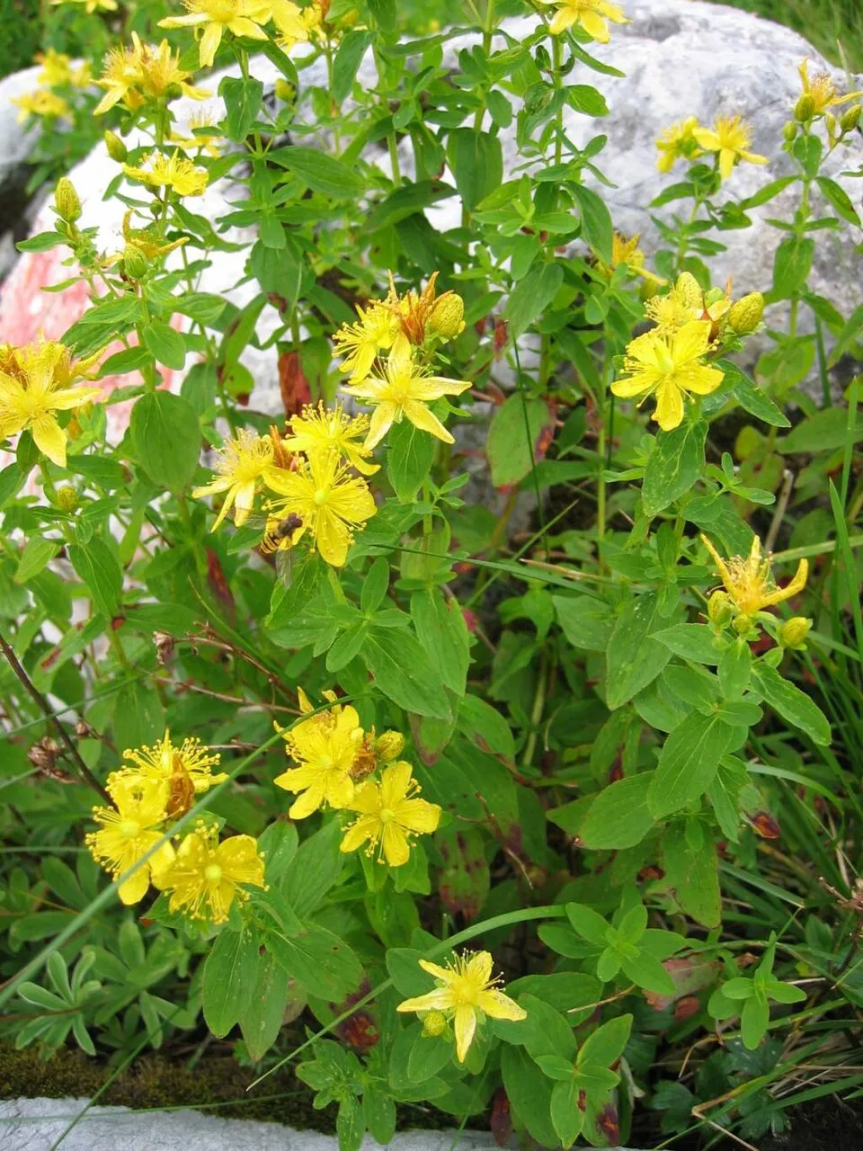
- Spotted St. Johnswort · Hypericum maculatum · 417
- Ribwort Plantain · Plantago lanceolata · 415
- Quaking grass · Briza media · 406
- Cock's-foot · Dactylis glomerata · 405
- European Beech · Fagus sylvatica · 402
- Colonial bentgrass · Agrostis capillaris · 398
- Common Bird's-foot-trefoil · Lotus corniculatus · 376
+18 more species
- Wood ragwort · Senecio ovatus · 372
- Rough hawkbit · Leontodon hispidus · 366
- White Clover · Trifolium repens · 365
- Common Sorrel · Rumex acetosa · 361
- Red fescue · Festuca rubra · 357
- Ragged-Robin · Silene flos-cuculi · 355
- Marsh-marigold · Caltha palustris · 344
- Bishop's goutweed · Aegopodium podagraria · 341
- Germander speedwell · Veronica chamaedrys · 340
- Self-heal · Prunella vulgaris · 338
- Spreading bellflower · Campanula patula · 337
- Sycamore · Acer pseudoplatanus · 336
- Common starwort · Stellaria graminea · 336
- Tufted vetch · Vicia cracca · 330
- Cruciata glabra · 329
- Common Nettle · Urtica dioica · 319
- Oxeye daisy · Leucanthemum vulgare · 314
- Bilberry · Vaccinium myrtillus · 312
Records: GBIF.org (CC-BY). Names: Wikidata (CC0), GBIF. Photos: Wikimedia Commons.
Conservation challenges
The primary purpose of the site is to preserve its natural habitats and the biodiversity they support. The species recorded (Biodiversity tab) reflect its ecological value. The designations it holds frame its management and the control of land use.
According to Global Forest Change data (University of Maryland, Global Forest Watch), about 13,340 ha of tree cover were lost within the boundary between 2001 and 2023 (20% of its area), peaking in 2005 and 2010. These losses include logging, storms and fires, and do not account for regrowth. According to the European CORINE Land Cover inventory (Copernicus), land cover changed on about 1,290 ha of the site between 1990 and 2018 (2% of its area): farmland shrank by 1,199 ha, mostly giving way to forest, while forest grew by 1,044 ha, mostly at the expense of farmland. Forest felling and regrowth add about 12,190 ha in total over the period. Since 2016, the European EFFIS system (Copernicus) has mapped one fire here, in April 2020 (near Oščadnica), which burned about 85 ha of the site. At night, the area gives off virtually no artificial light detectable from space (NASA VIIRS Black Marble composite, 2016). Built-up and developed land (buildings, business areas, roads, quarries) covers 2% of the area, and farmland 12% (CORINE Land Cover). According to the Natura 2000 forms, of 16 assessed habitats of European interest, 3 are in excellent condition and 1 in average or reduced condition. According to the Water Framework Directive assessment (2022 river basin management plans, data 2021), 65% of the 188 km of rivers assessed within the site are in good or high ecological status. Other assessed water bodies: lakes, 1 of 1 in good ecological status or better. Since 2000, 23 invasive alien species have been recorded within the site (GBIF observations), 3 of them listed as of Union concern under EU Regulation 1143/2014. Among them: Reynoutria japonica (Japanese Knotweed), Heracleum mantegazzianum (Giant Hogweed) and Impatiens glandulifera (Himalayan Balsam).
Pressure indicators
Tree cover lost
13,337 ha
2001–2023 · 20% of the area
20012023
Fires since 2016
85 ha
burned within the boundary (1 mapped fire)
- 2020 · Oščadnica · 85 ha
Light at night
0%
of the area gives off artificial light visible from space
DarkLit
Built-up land
2%
buildings, business areas, roads, quarries · farmland 12%
Land cover change
1,290 ha
changed cover, 1990–2018 · CORINE · 2% of the area
- −1,199 ha · farmland
- +1,044 ha · forest
forest felling and regrowth: 12,190 ha in total
Rivers and lakes
65%
of the 188 km of assessed rivers in good or high ecological status · WFD 2022
Lakes: 1 of 1 good or better
assessments 2021
Invasive alien species
23
incl. 3 of EU concern · since 2000
 Japanese KnotweedEU
 Giant HogweedEU
 Himalayan BalsamEU
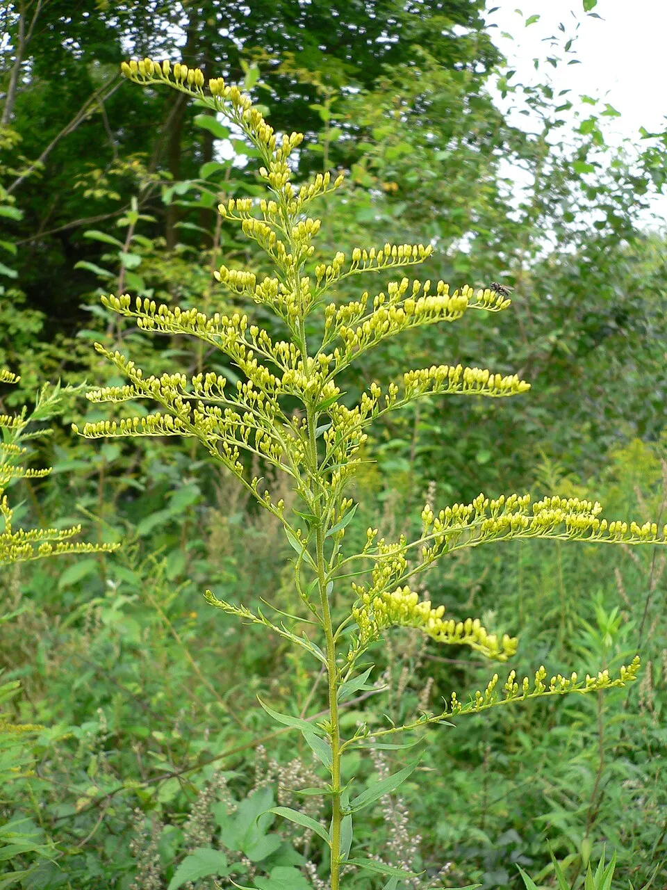 Canada goldenrod
 Small balsam
 Japanese barberry
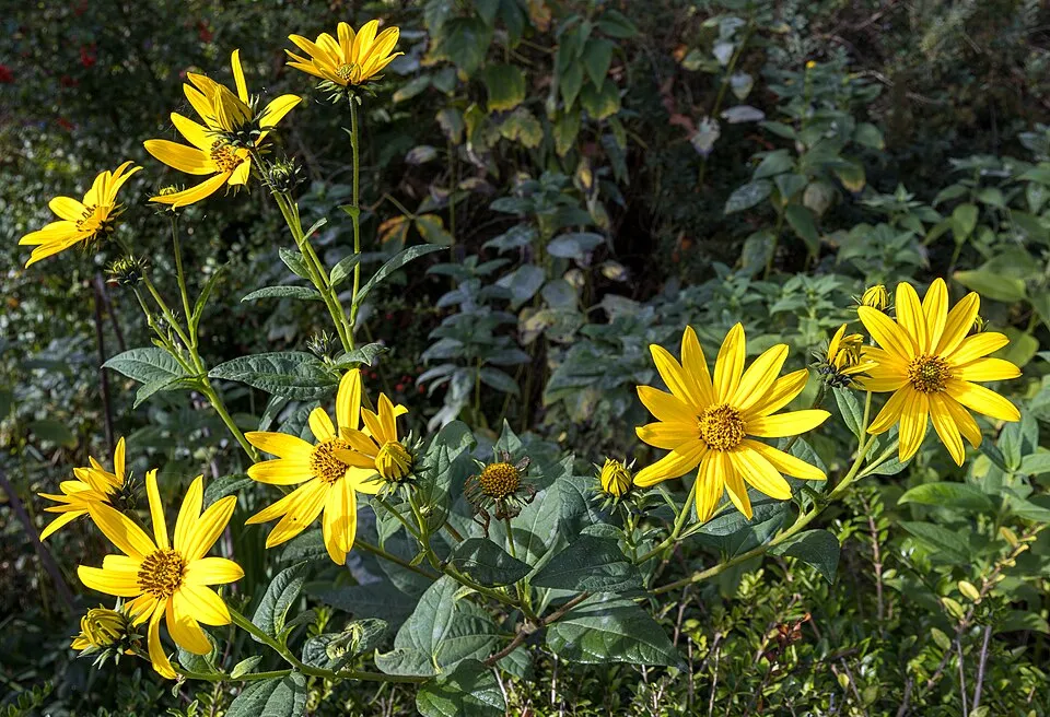 Jerusalem artichoke
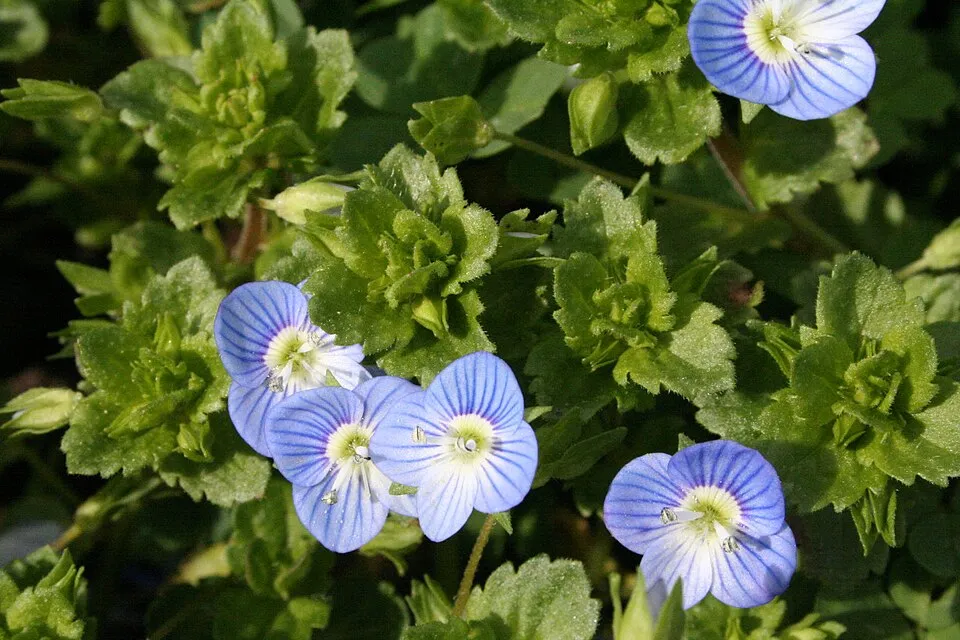 Common field-speedwell
Photos: Japanese Knotweed © W.carter · CC0-1.0; Giant Hogweed © anastasiiamerkulova · CC BY 4.0; Himalayan Balsam © Guptaele · CC BY-SA 4.0; Canada goldenrod © Georg Slickers · CC BY-SA 4.0; Small balsam © André Karwath aka Aka · CC BY-SA 2.5; Japanese barberry © Alpsdake · CC BY-SA 4.0; Jerusalem artichoke © JackyM59 · CC BY-SA 4.0; Common field-speedwell © Strobilomyces · CC BY-SA 3.0
Sources: Global Forest Change (Hansen et al., University of Maryland, via Global Forest Watch, CC-BY 4.0); EFFIS, European Commission / Copernicus; NASA Black Marble 2016 (public domain); CORINE Land Cover 2018 (Copernicus) or MODIS.
CORINE Land Cover Change 1990–2018: generated using European Union's Copernicus Land Monitoring Service information (EEA), aggregated by Parkavela; DOI 10.2909/f30f1000-7cf8-43bb-872c-5eb093911b24.
Ecological status of water bodies: European Environment Agency, WISE – Water Framework Directive, 3rd river basin management plans (2022), CC BY 4.0. Official national classification, not comparable between countries.
Invasive alien species: Global Register of Introduced and Invasive Species (ISSG, CC BY 4.0); Union list, Regulation (EU) 1143/2014 (INBO, CC0); GBIF.org records (CC0 / CC BY 4.0), at least 2 per species.
Practical information
Cities and airport
- Žilina
14 km as the crow flies - Frýdek-Místek
25 km as the crow flies - Airport: Leoš Janáček Airport Ostrava (OSR)
38 km as the crow flies
Visitor information
- Turistické centrum pod Orlojom
within the site - RAČA-TIK
< 1 km from the site boundary - Medzinárodné informačné centrum
1 km from the site boundary
Hiking
103 waymarked routes listed, including:
E 3Cyrilometodějská stezkaInternationaler Bergwanderweg EisenachVia Slovakia (Makovský priesmykVia Slovakia (Stará Bystrica[M] Makyta
By bike
005 Kysucká cyklomagistrála · 74 km053 Javornícka magistrála · 10 km2434 · 27 km2307 · 27 km
Signed cycle routes: this does not mean that cycling is allowed on footpaths.
Data © OpenStreetMap contributors (ODbL) · Wikidata (CC0)
Routes © OpenStreetMap contributors (ODbL), via Waymarked Trails
Waymarked hiking routes
Via Slovakia (Makovský priesmyk - Drietoma)
26.5 km within the site ↗ 553 m↘ 535 m 802–1,072 m
Via Slovakia (Stará Bystrica - Makovský priesmyk)
20.8 km within the site ↗ 42 m↘ 710 m 479–1,153 m
Náučný chodník Jozefa Kronera
4.6 km within the site ↗ 194 m↘ 6 m 701–898 m
Tracks © OpenStreetMap contributors (ODbL), clipped to the boundary; elevation gain and profiles computed on the longest section from Mapzen Terrain Tiles (≈ 30 m), indicative only.
Access and visiting
Makov railway station lies within the site. Nearest towns of over 50,000 people, as the crow flies: Žilina (14 km) and Frýdek-Místek (25 km). Nearest airport: Leoš Janáček Airport Ostrava (OSR), about 38 km away. About 710,000 people live within 20 km of the site boundary, 230,000 of them within 10 km; some 26,000 people are estimated to live inside (GHSL estimate, 2020). Visitor information on site: Turistické centrum pod Orlojom, RAČA-TIK and Medzinárodné informačné centrum. Waymarked hiking routes listed in OpenStreetMap: 103, including E 3, Cyrilometodějská stezka, Internationaler Bergwanderweg Eisenach and Via Slovakia (Makovský priesmyk. The site is crossed by 12 signed cycle routes, including “005 Kysucká cyklomagistrála” and “053 Javornícka magistrála” (OpenStreetMap). Where to stay: mountain hut Kmínek. To plan a visit (access, opening periods, visitor rules), it is best to consult the official information from the managing body and the official website listed in this page's sources.
Source: OpenStreetMap (ODbL), Wikidata (CC0), October 2026.
Built heritage
According to Wikidata, 18 monuments listed in the Slovak register of national cultural monuments stand within the boundary. Among them are 13 houses and civic buildings and 2 religious buildings. Examples include “Kostol Narodenia Panny Márie” in Nová Bystrica, “Pomník padlým v II. sv. v.” in Lazy pod Makytou and “Socha sv. Jána Nepomuckého” in Stará Bystrica.
13 houses and civic buildings2 religious buildings
-
Kostol Narodenia Panny Márie
Nová Bystrica · 20th c. -
Pomník padlým v II. sv. v.
Lazy pod Makytou · 20th c. -
Socha sv. Jána Nepomuckého
Stará Bystrica · 18th c. -
Prícestný kríž
Klubina · 20th c. -
Drevenica "Gavlovia"
Oščadnica · 20th c. -
Kysuc. -orav. les. úvrať. železni.
Nová Bystrica · 20th c. -
Drevenica-dvojdom
Korňa · 20th c. -
Pomník na mieste popravy
Vysoká nad Kysucou
and 10 more
Source: Wikidata (CC0), monuments in each country’s official heritage protection registers, at national or regional level. Each item links to its Wikidata entry.
When to visit
Mildest period: from June to August, with average temperatures of 14 to 17 °C. Average temperatures drop below 0 °C from December to February: frost is common. Precipitation peaks from May to July (up to 140 mm per month). According to NASA's MODIS satellites (2015–2025 average), snow covers most of the site from December to February, with about 85 snow-covered days a year on average. Day length ranges from about 8 h 11 min in December to 16 h 15 min in June. Wildlife records published on GBIF peak for birds (May), plants (from June to August), butterflies and moths (July) and mammals (May). These peaks also reflect when observers are most active.
Source: Copernicus ERA5-Land (C3S), monthly averages 1996–2025 at the representative point, temperatures adjusted for elevation.
Contains modified Copernicus Climate Change Service information 2026. Neither the European Commission nor ECMWF is responsible for any use that may be made of the Copernicus information or data it contains.
Wildlife records calendar
JFMAMJJASOND
Birds
Plants
Butterflies & moths
Mammals
Monthly records published on GBIF (CC-BY), relative to the busiest month; also reflects observer activity.
Gallery
© Juloml · CC BY-SA 3.0
© Michal Jakubský · CC BY 3.0
© Karel Frydrýšek · CC BY-SA 4.0
© Michal Jakubský · CC BY 3.0
© Karel Frydrýšek · CC BY-SA 4.0
© Karel Frydrýšek · CC BY-SA 4.0
Sources and licences
- Wikidata: Q1327131
- OpenStreetMap: relation 6897966
- Official website: https://chkokysuce.sopsr.sk/
- Wikipedia: en.wikipedia.org/wiki/Kysuce_Protected_Landscape_Area
- WDPA: 11812
References
- cds.climate.copernicus.eu: climate · CC-BY-4.0
- registry.opendata.aws: elevation of the reference point, detailed relief · PD
- land.copernicus.eu: land cover, land cover change, sea share · COPERNICUS
- doi.org: population around the site · CC-BY-4.0
- wikidata.org: official area, establishment date, protected heritage, official name, nearby cities and airport, access and peaks, lake depths, places to see, official website · CC0-1.0
- eea.europa.eu: bathing water quality, ecological status of waters · CC-BY-4.0
- en.eurovelo.com: EuroVelo cycle routes · ODbL-1.0
- cycling.waymarkedtrails.org: cycle routes · ODbL-1.0
- opentopodata.org: elevations · PD
- forest-fire.emergency.copernicus.eu: wildfires · COPERNICUS
- globalforestwatch.org: tree cover loss · CC-BY-4.0
- gbif.org: seasonality of sightings, invasive alien species, observed species · CC-BY-4.0
- europe-geology.eu: geology · CC-BY-4.0
- hydrosheds.org: lakes · CC-BY-4.0
- natura2000.eea.europa.eu: Natura 2000 habitats and species · CC-BY-4.0
- earthobservatory.nasa.gov: night light · PD
- openstreetmap.org: access and peaks · ODbL-1.0
- hiking.waymarkedtrails.org: route difficulty · ODbL-1.0
- nsidc.org: snow cover · PD
- wikidata.org: Wikipedia article · CC-BY-SA-4.0
Data © OpenStreetMap contributors (ODbL), Wikidata (CC0) and the sources cited.